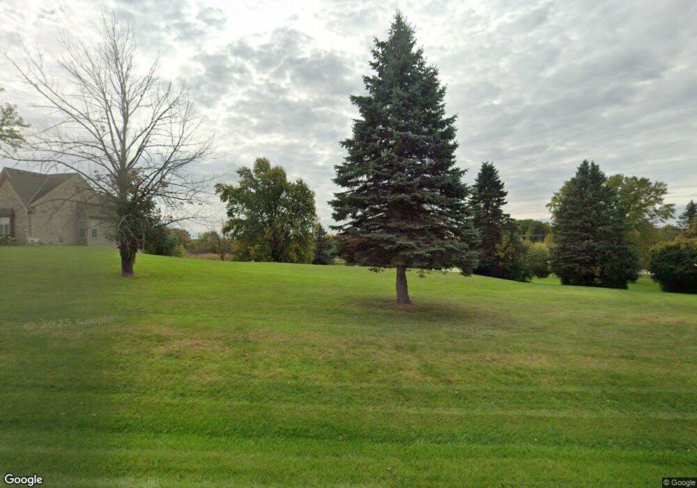
N124W20323 Isabelle Farms Dr Richfield, WI 53076
Estimated Value: $936,000 - $1,067,602
3
Beds
4
Baths
4,262
Sq Ft
$234/Sq Ft
Est. Value
About This Home
This home is located at N124W20323 Isabelle Farms Dr, Richfield, WI 53076 and is currently estimated at $998,151, approximately $234 per square foot. N124W20323 Isabelle Farms Dr is a home with nearby schools including Slinger High School, St. Gabriel Catholic Parish School, and Crown of Life Lutheran School.
Ownership History
Date
Name
Owned For
Owner Type
Purchase Details
Closed on
Feb 18, 2011
Sold by
The Equitable Bank Ssb
Bought by
Armstead J W and Armstead Ethel
Current Estimated Value
Home Financials for this Owner
Home Financials are based on the most recent Mortgage that was taken out on this home.
Original Mortgage
$117,000
Outstanding Balance
$81,823
Interest Rate
5.25%
Mortgage Type
Adjustable Rate Mortgage/ARM
Estimated Equity
$916,328
Purchase Details
Closed on
Jun 25, 2010
Sold by
Isabelle Farms Inc
Bought by
The Equitable Bank Ssb
Purchase Details
Closed on
Sep 28, 2005
Sold by
Pif Enterprises Llc
Bought by
Isabelle Farms Inc
Create a Home Valuation Report for This Property
The Home Valuation Report is an in-depth analysis detailing your home's value as well as a comparison with similar homes in the area
Home Values in the Area
Average Home Value in this Area
Purchase History
| Date | Buyer | Sale Price | Title Company |
|---|---|---|---|
| Armstead J W | $140,000 | None Available | |
| The Equitable Bank Ssb | $2,651,000 | None Available | |
| Isabelle Farms Inc | $915,000 | -- |
Source: Public Records
Mortgage History
| Date | Status | Borrower | Loan Amount |
|---|---|---|---|
| Open | Armstead J W | $117,000 |
Source: Public Records
Tax History Compared to Growth
Tax History
| Year | Tax Paid | Tax Assessment Tax Assessment Total Assessment is a certain percentage of the fair market value that is determined by local assessors to be the total taxable value of land and additions on the property. | Land | Improvement |
|---|---|---|---|---|
| 2024 | $11,070 | $845,000 | $200,000 | $645,000 |
| 2023 | $5,548 | $645,400 | $135,400 | $510,000 |
| 2022 | $10,964 | $645,400 | $135,400 | $510,000 |
| 2021 | $10,564 | $645,400 | $135,400 | $510,000 |
| 2020 | $10,825 | $645,400 | $135,400 | $510,000 |
| 2019 | $10,428 | $645,400 | $135,400 | $510,000 |
| 2018 | $10,374 | $599,900 | $128,300 | $471,600 |
| 2017 | $9,766 | $599,900 | $128,300 | $471,600 |
| 2016 | $9,703 | $599,900 | $128,300 | $471,600 |
| 2015 | $8,604 | $517,300 | $128,300 | $389,000 |
| 2014 | $6,788 | $404,800 | $128,300 | $276,500 |
| 2013 | $2,117 | $127,000 | $127,000 | $0 |
Source: Public Records
Map
Nearby Homes
- 4942 Bridle Path Rd
- 2102 Wisconsin 164
- 4455 Club Dr
- 3053 Bogey Ln
- 5287 Pleasant Hill Rd
- Lt1 County Highway Cc -
- 2269 Powder Hill Rd
- 4823 Riverview Dr
- 1641 Prairie Ln
- 1900 Hillside Rd
- 4229 Sherman Rd
- LT1 County Hwy E
- 1015 High Ridge Trail
- 975 High Ridge Trail
- 1009 High Ridge Trail
- 998 High Ridge Trail
- 986 High Ridge Trail
- 980 High Ridge Trail
- 1020 High Ridge Trail
- 966 High Ridge Trail
- 4720 Autumn Trail
- 4722 Autumn Trail
- 4719 Autumn Trail
- 4686 Autumn Trail
- 4684 Autumn Trail
- 4683 Autumn Trail
- 4718 Autumn Trail
- 4685 Autumn Trail
- 4688 Autumn Trail
- 4687 Autumn Trail
- 4717 Autumn Trail
- 4689 Autumn Trail
- 4698 Pioneer Rd
- 4690 Autumn Trail
- 4715 Autumn Trail
- 4713 Autumn Trail
- 4700 Autumn Trail
- 4698 Autumn Trail
- 4702 Autumn Trail
- 4711 Autumn Trail