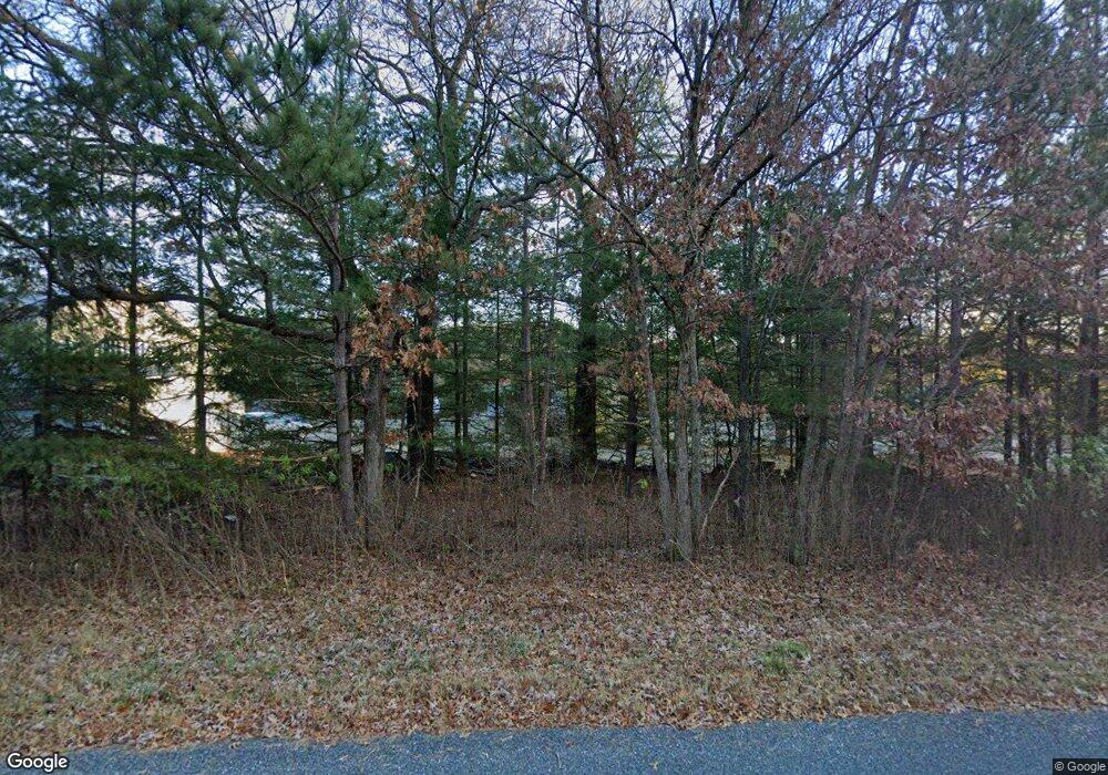
N1276 Timm Rd Lyndon Station, WI 53944
Estimated Value: $413,000 - $445,000
3
Beds
3
Baths
2,800
Sq Ft
$152/Sq Ft
Est. Value
About This Home
This home is located at N1276 Timm Rd, Lyndon Station, WI 53944 and is currently estimated at $426,387, approximately $152 per square foot. N1276 Timm Rd is a home located in Juneau County with nearby schools including Wisconsin Dells High School.
Ownership History
Date
Name
Owned For
Owner Type
Purchase Details
Closed on
Sep 20, 2021
Sold by
Niederklopfer Betty Ann Dod 07 and Niederklopfer 29
Bought by
Niederklopfer Joseph H
Current Estimated Value
Purchase Details
Closed on
Sep 28, 2018
Sold by
Niederklopfer Joseph H and Niederklopfer Ann Betty
Bought by
Niederklopfer Jason P
Purchase Details
Closed on
Sep 4, 2018
Sold by
Niederklopfer Jason P
Bought by
Niederklopfer Joseph H and Niederklopfer Ann Betty
Purchase Details
Closed on
May 23, 2018
Sold by
Spears Triva K
Bought by
Niederklopfer Joseph H and Niederklopfer Ann Betty
Create a Home Valuation Report for This Property
The Home Valuation Report is an in-depth analysis detailing your home's value as well as a comparison with similar homes in the area
Home Values in the Area
Average Home Value in this Area
Purchase History
| Date | Buyer | Sale Price | Title Company |
|---|---|---|---|
| Niederklopfer Joseph H | -- | -- | |
| Niederklopfer Jason P | -- | -- | |
| Niederklopfer Joseph H | $58,433 | -- | |
| Niederklopfer Joseph H | $24,000 | -- |
Source: Public Records
Tax History Compared to Growth
Tax History
| Year | Tax Paid | Tax Assessment Tax Assessment Total Assessment is a certain percentage of the fair market value that is determined by local assessors to be the total taxable value of land and additions on the property. | Land | Improvement |
|---|---|---|---|---|
| 2024 | $3,694 | $298,000 | $50,000 | $248,000 |
| 2023 | $3,125 | $177,400 | $29,700 | $147,700 |
| 2022 | $2,897 | $177,400 | $29,700 | $147,700 |
| 2021 | $2,944 | $177,400 | $29,700 | $147,700 |
| 2020 | $2,901 | $177,400 | $29,700 | $147,700 |
| 2019 | $2,848 | $177,400 | $29,700 | $147,700 |
| 2018 | $2,617 | $177,400 | $29,700 | $147,700 |
| 2017 | $2,624 | $175,300 | $29,700 | $145,600 |
| 2016 | $2,883 | $173,400 | $30,600 | $142,800 |
| 2015 | $2,883 | $173,400 | $30,600 | $142,800 |
| 2014 | $2,555 | $173,400 | $30,600 | $142,800 |
| 2013 | $2,569 | $173,400 | $30,600 | $142,800 |
Source: Public Records
Map
Nearby Homes
- 37.70 Acres 63rd St
- W1720 Southern Rd
- 0 Koval Rd Unit 22560074
- 0 Koval Rd Unit 22500378
- Lots 13 & 14 Bass Lake Ln
- 9.15 Acres Arbor Lake S
- W2006 Lyndon Ln
- W2027 Amerst Ln
- W1700 65th St
- W1838 Juneau Woods Rd
- Lt2 Koval Rd
- W2313 Loescher Rd
- W2047 County Rd N
- W1976 County Rd N
- 541 E Flint St
- 19.8 AC Highway 13
- L39 W Sunny Side Ln
- Lot 38 & 39 W Sunny Side Ln
- 3746 Highway 13
- Lot 6 Grand Pines Cir
- N1295 Us Highway 12 and 16
- N1275 Timm Rd
- N1298 Timm Rd
- N1273 Timm Rd
- N1311 Us Highway 12 and 16
- W1624 Taima Ln
- W1644 Taima Ln
- N1297 Timm Rd
- N1283 Rest Haven Rd
- N1273 Rest Haven Rd
- n 1284 Rest Haven Rd
- N1284 Rest Haven Rd
- W1629 Taima Ln
- N1271 Rest Haven Rd
- N1319 Us Highway 12 and 16
- W1615 Taima Ln
- N1269 Timm Rd
- N1272 Rest Haven Rd
- W1602 Dees Rd
- W1620 Dees Rd
