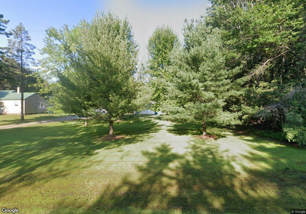
N1311 R3 Dr Menominee, MI 49858
Estimated Value: $168,625 - $308,000
2
Beds
1
Bath
1,120
Sq Ft
$216/Sq Ft
Est. Value
About This Home
This home is located at N1311 R3 Dr, Menominee, MI 49858 and is currently estimated at $241,906, approximately $215 per square foot. N1311 R3 Dr is a home with nearby schools including Central Elementary School, Blesch Intermediate School, and Menominee Junior High School.
Ownership History
Date
Name
Owned For
Owner Type
Purchase Details
Closed on
Jul 5, 2006
Sold by
Husbeck Donna M Estate
Bought by
Collier Stephen A and Collier Susan L
Current Estimated Value
Purchase Details
Closed on
Apr 5, 2006
Sold by
Husbeck Jessie Per Rep
Bought by
Kass Michael Per Rep
Purchase Details
Closed on
Sep 26, 2003
Sold by
Barcewski Lorraine and Joanne Headman
Bought by
Husbeck Frank and Donna Kass
Purchase Details
Closed on
Jul 24, 2003
Sold by
Barcewski Lorraine and Joanne Headman
Bought by
Barcewski Lorraine and Joanne Headman
Purchase Details
Closed on
May 9, 2001
Sold by
Barley Helen
Bought by
Headman Joanne and Lorraine Barcewski
Create a Home Valuation Report for This Property
The Home Valuation Report is an in-depth analysis detailing your home's value as well as a comparison with similar homes in the area
Home Values in the Area
Average Home Value in this Area
Purchase History
| Date | Buyer | Sale Price | Title Company |
|---|---|---|---|
| Collier Stephen A | $85,000 | -- | |
| Kass Michael Per Rep | -- | -- | |
| Husbeck Frank | $55,000 | -- | |
| Barcewski Lorraine | -- | -- | |
| Headman Joanne | -- | -- |
Source: Public Records
Tax History Compared to Growth
Tax History
| Year | Tax Paid | Tax Assessment Tax Assessment Total Assessment is a certain percentage of the fair market value that is determined by local assessors to be the total taxable value of land and additions on the property. | Land | Improvement |
|---|---|---|---|---|
| 2025 | $990 | $59,800 | $6,900 | $52,900 |
| 2024 | $926 | $53,900 | $6,200 | $47,700 |
| 2023 | $346 | $48,200 | $48,200 | $0 |
| 2022 | $346 | $48,200 | $48,200 | $0 |
| 2021 | $346 | $100 | $0 | $100 |
| 2020 | $346 | $40,200 | $0 | $0 |
| 2019 | -- | $41,400 | $0 | $0 |
| 2018 | -- | $40,700 | $40,700 | $0 |
| 2017 | -- | $37,700 | $37,700 | $0 |
| 2016 | -- | $37,700 | $0 | $0 |
| 2015 | -- | $37,700 | $0 | $0 |
| 2014 | -- | $36,700 | $36,700 | $0 |
| 2013 | $346 | $37,000 | $0 | $0 |
Source: Public Records
Map
Nearby Homes
- W6939 3 5 Rd
- 0 2 5 Rd
- N1476 River Dr
- 0 Nettleton Rd Unit 50310614
- 0 Nettleton Rd Unit 50301985
- N2238 S R1 Ln
- N698 County Road 577
- 0 Hwy 180 Unit 50254733
- 4307 13th St
- 1705 38th Ave
- N6568 State Highway 180
- N5902 Bagley Rd
- 3709 15th St
- 4012 13th St
- 1413 38th Ave
- N1058 U S 41
- 3009 17th St
- 2409 21st St
- 3208 15th St
- 1809 28th Ave
