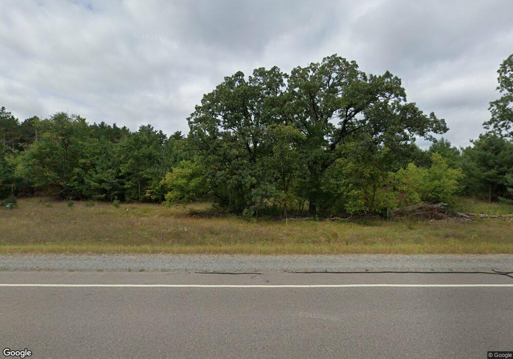
N1381 State Road 22 Waupaca, WI 54981
Estimated Value: $982,000 - $1,453,000
6
Beds
5
Baths
2,759
Sq Ft
$419/Sq Ft
Est. Value
About This Home
This home is located at N1381 State Road 22, Waupaca, WI 54981 and is currently estimated at $1,156,472, approximately $419 per square foot. N1381 State Road 22 is a home located in Waupaca County with nearby schools including Waupaca Learning Center Elementary School, Waupaca Middle School, and Waupaca High School.
Ownership History
Date
Name
Owned For
Owner Type
Purchase Details
Closed on
Nov 18, 2020
Sold by
Phillipsen Richard R and Phillipsen Dawn M
Bought by
Konrath Luke B and Konrath Andrea D
Current Estimated Value
Home Financials for this Owner
Home Financials are based on the most recent Mortgage that was taken out on this home.
Original Mortgage
$492,000
Outstanding Balance
$437,810
Interest Rate
2.8%
Mortgage Type
New Conventional
Estimated Equity
$718,662
Create a Home Valuation Report for This Property
The Home Valuation Report is an in-depth analysis detailing your home's value as well as a comparison with similar homes in the area
Home Values in the Area
Average Home Value in this Area
Purchase History
| Date | Buyer | Sale Price | Title Company |
|---|---|---|---|
| Konrath Luke B | $615,000 | None Available |
Source: Public Records
Mortgage History
| Date | Status | Borrower | Loan Amount |
|---|---|---|---|
| Open | Konrath Luke B | $492,000 |
Source: Public Records
Tax History Compared to Growth
Tax History
| Year | Tax Paid | Tax Assessment Tax Assessment Total Assessment is a certain percentage of the fair market value that is determined by local assessors to be the total taxable value of land and additions on the property. | Land | Improvement |
|---|---|---|---|---|
| 2024 | $7,267 | $670,800 | $226,100 | $444,700 |
| 2023 | $7,267 | $670,800 | $226,100 | $444,700 |
| 2022 | $9,355 | $530,400 | $152,600 | $377,800 |
| 2021 | $9,027 | $530,400 | $152,600 | $377,800 |
| 2020 | $6,357 | $397,600 | $152,600 | $245,000 |
| 2019 | $6,474 | $397,600 | $152,600 | $245,000 |
| 2018 | $7,677 | $397,600 | $152,600 | $245,000 |
| 2017 | $7,724 | $397,600 | $152,600 | $245,000 |
| 2016 | $7,586 | $397,600 | $152,600 | $245,000 |
| 2015 | $7,391 | $397,600 | $152,600 | $245,000 |
| 2014 | $7,072 | $371,200 | $134,500 | $236,700 |
| 2013 | $6,997 | $371,200 | $134,500 | $236,700 |
Source: Public Records
Map
Nearby Homes
- E1400 Stratton Lake Rd
- E1457 Rural Rd
- 0 Jensen Rd
- N2371 Long Cove Dr
- N2475 E Miner Dr
- E1396 Grandview Rd
- E269 Hudziak Rd
- N2577 Ottman Dr
- E1280 County Road Q Unit 3
- N2645 Pleasant Park Ln
- E2041 Meadowlark Ln
- N1983 Evergreen Ln
- 0 State Road 22 Unit 50271805
- 0 State Road 22 Unit 50271804
- N1705 Virginia Dr
- N2071 Mary Jane Cir
- N1903 Virginia Dr
- E1761 Amy St
- E1852 King Rd
- N1074 County Hwy E
- N1381 Highway 22
- 0 Stratton Lake Rd Unit 50162200
- 0 Stratton Lake Rd Unit 50035367
- N1435 Speer Rd
- N1421 Speer Rd
- N1451 Speer Rd
- N1413 Speer Rd
- N1405 Speer Rd
- E1047 Stratton Lake Rd
- E1047 Stratton Lake Rd
- N1401 Speer Rd
- N1469 Speer Rd
- E1280 Dayton Rd
- N1430 Schrock Rd
- N1389 Speer Rd
- N1589 State Road 22
- 0 Dayton Rd Unit 50174854
- 0 Dayton Rd Unit 50214521
- 0 Dayton Rd Unit 50211549
- 0 Dayton Rd Unit 50204283
