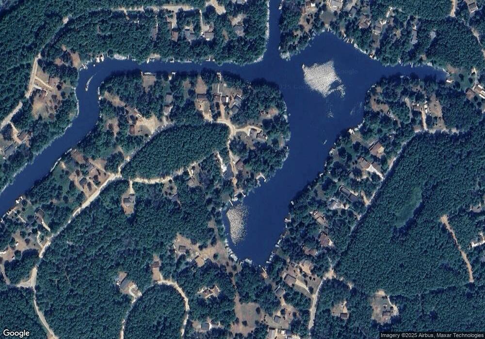
N1400 Thunder Bird Rd Keshena, WI 54135
Estimated Value: $471,614 - $630,000
3
Beds
2
Baths
2,232
Sq Ft
$244/Sq Ft
Est. Value
About This Home
This home is located at N1400 Thunder Bird Rd, Keshena, WI 54135 and is currently estimated at $544,871, approximately $244 per square foot. N1400 Thunder Bird Rd is a home located in Menominee County with nearby schools including Keshena Primary School, Menominee Indian Middle School, and Menominee Indian High School.
Ownership History
Date
Name
Owned For
Owner Type
Purchase Details
Closed on
May 16, 2023
Sold by
Birkel Paul J and Jayne A.
Bought by
Birkel Family Trust Dated May 16 2023
Current Estimated Value
Purchase Details
Closed on
Mar 24, 2022
Sold by
The Estate Of Terry L Muth
Bought by
Paul Birkel
Purchase Details
Closed on
Oct 17, 2019
Sold by
Zinda Revoacable Trust Dated September 30 201
Bought by
Muth Terry L
Purchase Details
Closed on
Sep 30, 2013
Sold by
Zinda Revocable Trust Dated September 30
Bought by
Zinda John J and Zinda Judith M
Create a Home Valuation Report for This Property
The Home Valuation Report is an in-depth analysis detailing your home's value as well as a comparison with similar homes in the area
Home Values in the Area
Average Home Value in this Area
Purchase History
| Date | Buyer | Sale Price | Title Company |
|---|---|---|---|
| Birkel Family Trust Dated May 16 2023 | $240,700 | John F. Koenig | |
| Paul Birkel | $455,000 | Rl Hall Land Title Company | |
| Muth Terry L | $269,000 | -- | |
| Zinda John J | $238,000 | -- |
Source: Public Records
Tax History Compared to Growth
Tax History
| Year | Tax Paid | Tax Assessment Tax Assessment Total Assessment is a certain percentage of the fair market value that is determined by local assessors to be the total taxable value of land and additions on the property. | Land | Improvement |
|---|---|---|---|---|
| 2024 | $6,052 | $494,900 | $227,900 | $267,000 |
| 2023 | $6,348 | $240,700 | $91,300 | $149,400 |
| 2022 | $6,601 | $240,700 | $91,300 | $149,400 |
| 2021 | $4,498 | $240,700 | $91,300 | $149,400 |
| 2020 | $4,631 | $240,700 | $91,300 | $149,400 |
| 2019 | $4,420 | $240,700 | $91,300 | $149,400 |
| 2018 | $4,295 | $240,700 | $91,300 | $149,400 |
| 2017 | $4,173 | $240,700 | $91,300 | $149,400 |
| 2016 | $4,212 | $240,700 | $91,300 | $149,400 |
| 2015 | -- | $240,700 | $91,300 | $149,400 |
| 2013 | -- | $240,700 | $91,300 | $149,400 |
Source: Public Records
Map
Nearby Homes
- N1388 Blue Heron Trail
- N1305 Morning Star Rd
- W1829 Broken Bow Rd
- W2011 Morning Star Trail
- W1780 Fern Rd
- N1240 Otter Ponds Ln
- N1220 Otter Ponds Ln
- N1203 Big Sky Rd
- W1926 Great Bear Rd
- N1222 Big Sky Rd
- W1713 Big Sky Ct
- N1640 Sundance Ln
- N1628 Sundance Ln
- W2212 Otter Ponds Rd
- W2185 Otter Ponds Rd
- N1464 S Branch Path
- W2162 Otter Ponds Rd
- N1629 Fox Ridge Trail
- W1514 Spirit Ridge Trail
- N1714 Hawks Nest Trail
- N1394 Thunderbird Rd
- N1404 Thunderbird Rd
- 1404 N Thunder Bird Rd
- N1386 Thunder Bird Rd
- N1408 Thunderbird Rd
- 1410 N Thunderbird Rd
- N1410 Thunderbird Rd
- 1414 N Thunderbird Rd
- N1413 Thunderbird Rd
- 1407 N Thunderbird Rd
- N1323 Silver Canoe Rd
- N1377 Thunderbird Rd
- N1310 Thunderbird Rd
- N1387 Thunder Bird Rd
- N1387 Thunderbird Rd
- N1317 N1317 Silver Canoe Rd
- 1304 N Thunderbird Cir
- N1311 Silver Canoe Rd
- N1302 Thunder Bird Cir
- N1302 Thunderbird Cir
