N1430 Us Highway 10 S Weyauwega, WI 54983
Estimated Value: $44,000 - $129,000
--
Bed
--
Bath
--
Sq Ft
2
Acres
About This Home
This home is located at N1430 Us Highway 10 S, Weyauwega, WI 54983 and is currently estimated at $95,333. N1430 Us Highway 10 S is a home located in Waupaca County with nearby schools including Weyauwega Elementary School, Weyauwega Middle School, and Weyauwega High School.
Ownership History
Date
Name
Owned For
Owner Type
Purchase Details
Closed on
Nov 15, 2022
Sold by
Mary J Mcdermid Survivors Trust
Bought by
Sunset Curve Storage Llc
Current Estimated Value
Purchase Details
Closed on
Sep 23, 2010
Sold by
Sole Mary J Mcdermid
Bought by
Mcdermid Mary J
Purchase Details
Closed on
Oct 1, 2009
Sold by
Mcdermid Michael C
Bought by
Mcdermid Michael C
Purchase Details
Closed on
Jun 23, 2005
Sold by
Velte Louise M and Velte Richard L
Bought by
Mcdermid Michael C
Create a Home Valuation Report for This Property
The Home Valuation Report is an in-depth analysis detailing your home's value as well as a comparison with similar homes in the area
Home Values in the Area
Average Home Value in this Area
Purchase History
| Date | Buyer | Sale Price | Title Company |
|---|---|---|---|
| Sunset Curve Storage Llc | $32,500 | None Listed On Document | |
| Mcdermid Mary J | $28,000 | -- | |
| Mcdermid Michael C | -- | None Available | |
| Mcdermid Michael C | $80,000 | None Available |
Source: Public Records
Tax History Compared to Growth
Tax History
| Year | Tax Paid | Tax Assessment Tax Assessment Total Assessment is a certain percentage of the fair market value that is determined by local assessors to be the total taxable value of land and additions on the property. | Land | Improvement |
|---|---|---|---|---|
| 2024 | $324 | $21,400 | $16,100 | $5,300 |
| 2023 | $324 | $21,400 | $16,100 | $5,300 |
| 2022 | $306 | $21,400 | $16,100 | $5,300 |
| 2021 | $316 | $21,400 | $16,100 | $5,300 |
| 2020 | $324 | $21,400 | $16,100 | $5,300 |
| 2019 | $329 | $21,400 | $16,100 | $5,300 |
| 2018 | $324 | $21,400 | $16,100 | $5,300 |
| 2017 | $294 | $21,400 | $16,100 | $5,300 |
| 2016 | $294 | $21,400 | $16,100 | $5,300 |
| 2015 | $300 | $21,400 | $16,100 | $5,300 |
| 2014 | $301 | $21,400 | $16,100 | $5,300 |
| 2013 | $324 | $21,400 | $16,100 | $5,300 |
Source: Public Records
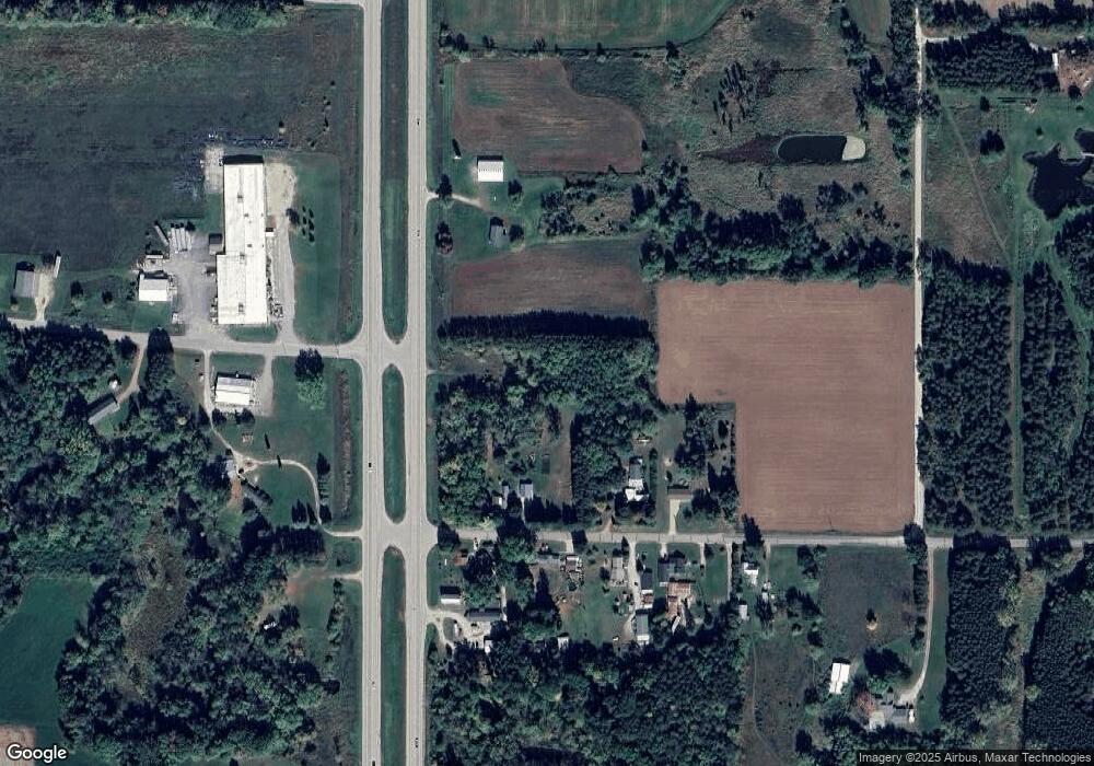
Map
Nearby Homes
- 0 Hillside Dr Unit 50308768
- 0 Hillside Dr Unit 50311949
- 0 Wisconsin 49
- E5975 Sunset Ct
- 103 W Main St
- 0 Koplien Rd Unit 50309317
- N555 Brown Rd
- 201 2nd Ave
- 1009 Mill Pond Cir
- 1019 Mill Pond Cir
- 5599 County Road Aa
- N459 County Road U
- 508 Waupaca St
- 134 Tustin Rd
- 0 Guth Rd Unit 50315739
- 7681 County Highway H
- E4347 E Gate Dr
- E7345 Welch Rd
- N2837 Ona Pines Rd
- N2833 Ona Pines Rd
- E5936 Evanswood Rd
- E5909 Evanswood Rd
- E5925 Evanswood Rd
- E5956 Evanswood Rd
- E5937 Evanswood Rd
- E5917 Evanswood Rd
- E5947 Evanswood Rd
- E5881 Little River Rd
- N1382 Us Highway 10 S
- E5953 Evanswood Rd
- E5961 Evanswood Rd
- N1355 Us Highway 10
- E5849 Little River Rd
- N1325 Us Highway 10 S
- E6001 Evanswood Rd
- N1332 Us Highway 10 S
- 0 Evanswood Rd Unit 50125162
- 0 Evanswood Rd Unit 50256777
- 0 Evanswood Rd Unit 50243207
- 0 Evanswood Rd Unit 50111567