N14475 87th St Clear Lake, WI 54005
Estimated Value: $301,350 - $329,000
--
Bed
--
Bath
--
Sq Ft
29.91
Acres
About This Home
This home is located at N14475 87th St, Clear Lake, WI 54005 and is currently estimated at $315,175. N14475 87th St is a home with nearby schools including Tiffany Creek Elementary School and Boyceville Middle-High School.
Ownership History
Date
Name
Owned For
Owner Type
Purchase Details
Closed on
Jul 26, 2021
Sold by
Zorn Marvin A
Bought by
Stoll Michael J
Current Estimated Value
Home Financials for this Owner
Home Financials are based on the most recent Mortgage that was taken out on this home.
Interest Rate
2.87%
Purchase Details
Closed on
Feb 28, 2020
Sold by
Zorn Marvin A
Bought by
Zorn Marvin A
Home Financials for this Owner
Home Financials are based on the most recent Mortgage that was taken out on this home.
Interest Rate
3.33%
Create a Home Valuation Report for This Property
The Home Valuation Report is an in-depth analysis detailing your home's value as well as a comparison with similar homes in the area
Home Values in the Area
Average Home Value in this Area
Purchase History
| Date | Buyer | Sale Price | Title Company |
|---|---|---|---|
| Stoll Michael J | $92,600 | -- | |
| Stoll Michael J | $92,600 | -- | |
| Zorn Marvin A | $235,000 | -- | |
| Zorn Marvin A | $235,000 | -- |
Source: Public Records
Mortgage History
| Date | Status | Borrower | Loan Amount |
|---|---|---|---|
| Closed | Stoll Michael J | -- | |
| Previous Owner | Zorn Marvin A | -- |
Source: Public Records
Tax History Compared to Growth
Tax History
| Year | Tax Paid | Tax Assessment Tax Assessment Total Assessment is a certain percentage of the fair market value that is determined by local assessors to be the total taxable value of land and additions on the property. | Land | Improvement |
|---|---|---|---|---|
| 2024 | $2,353 | $112,100 | $31,600 | $80,500 |
| 2023 | $2,163 | $112,100 | $31,600 | $80,500 |
| 2022 | $2,209 | $112,100 | $31,600 | $80,500 |
| 2021 | $2,357 | $130,000 | $49,500 | $80,500 |
| 2020 | $2,354 | $130,000 | $49,500 | $80,500 |
| 2019 | $2,092 | $81,700 | $18,400 | $63,300 |
| 2018 | $1,978 | $81,800 | $18,500 | $63,300 |
| 2017 | $2,170 | $81,800 | $18,500 | $63,300 |
| 2016 | $2,274 | $81,800 | $18,500 | $63,300 |
| 2015 | $1,889 | $81,900 | $18,600 | $63,300 |
| 2014 | $1,852 | $81,900 | $18,600 | $63,300 |
| 2013 | $1,874 | $81,900 | $18,600 | $63,300 |
Source: Public Records
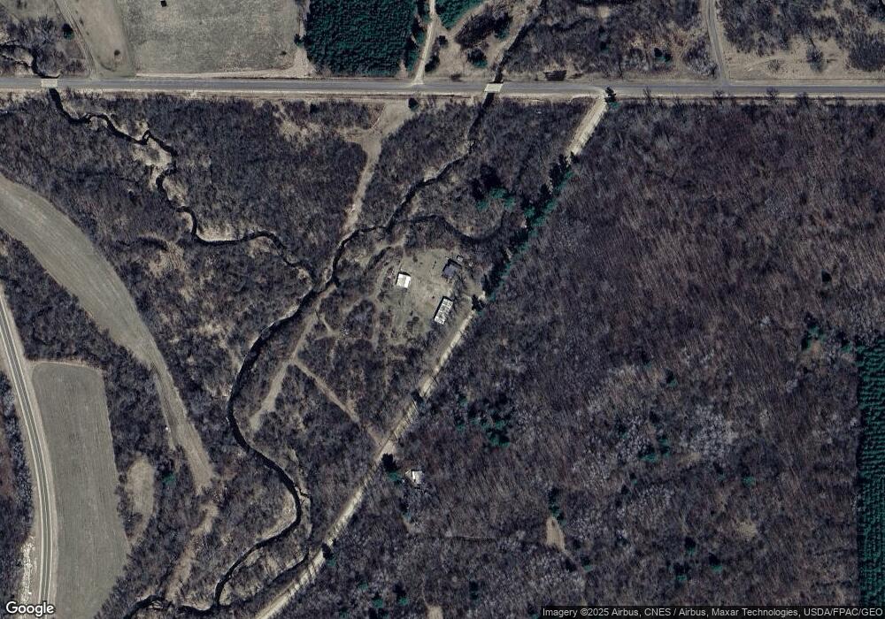
Map
Nearby Homes
- 319 1st Ave
- 41 County Line Ave
- 30 10th St
- 13969 250th St
- N13969 250th St
- N13859 250th St
- TBD Lot 1 1270th Ave
- TBD Lot 2 1270th Ave
- Lot 2 1240th Ave
- Lot 1 1240th Ave
- 1920 Cty Rd P
- 00 4th St
- 67 60th Ave
- N13651 320th St
- 338 40th St
- 221 Sprague Ave N
- 521 E Hepburn St
- TBD County Highway Pi
- Xxx County Road P
- 230 1st Ave E