N1568 Mellenberger Rd Browntown, WI 53522
Estimated Value: $393,574
3
Beds
1
Bath
1,306
Sq Ft
$301/Sq Ft
Est. Value
About This Home
This home is located at N1568 Mellenberger Rd, Browntown, WI 53522 and is currently estimated at $393,574, approximately $301 per square foot. N1568 Mellenberger Rd is a home located in Green County.
Ownership History
Date
Name
Owned For
Owner Type
Purchase Details
Closed on
Jan 30, 2018
Sold by
Sacker Sarah A and Schenk Joshua D
Bought by
Schenk Joshua D and Sacker Sarah A
Current Estimated Value
Purchase Details
Closed on
Jun 28, 2013
Sold by
Swenson Jane N and Swenson Family Revocable Livin
Bought by
Sacker Sarah A
Home Financials for this Owner
Home Financials are based on the most recent Mortgage that was taken out on this home.
Original Mortgage
$130,565
Outstanding Balance
$94,578
Interest Rate
3.83%
Mortgage Type
Future Advance Clause Open End Mortgage
Estimated Equity
$298,996
Create a Home Valuation Report for This Property
The Home Valuation Report is an in-depth analysis detailing your home's value as well as a comparison with similar homes in the area
Home Values in the Area
Average Home Value in this Area
Purchase History
| Date | Buyer | Sale Price | Title Company |
|---|---|---|---|
| Schenk Joshua D | -- | None Available | |
| Sacker Sarah A | $170,000 | None Available |
Source: Public Records
Mortgage History
| Date | Status | Borrower | Loan Amount |
|---|---|---|---|
| Open | Sacker Sarah A | $130,565 |
Source: Public Records
Tax History Compared to Growth
Tax History
| Year | Tax Paid | Tax Assessment Tax Assessment Total Assessment is a certain percentage of the fair market value that is determined by local assessors to be the total taxable value of land and additions on the property. | Land | Improvement |
|---|---|---|---|---|
| 2024 | $2,305 | $118,100 | $28,600 | $89,500 |
| 2023 | $2,312 | $117,700 | $28,200 | $89,500 |
| 2022 | $2,179 | $117,800 | $28,300 | $89,500 |
| 2021 | $2,020 | $117,800 | $28,300 | $89,500 |
| 2020 | $2,143 | $117,500 | $28,000 | $89,500 |
| 2019 | $2,121 | $117,500 | $28,000 | $89,500 |
| 2018 | $2,110 | $117,600 | $28,100 | $89,500 |
| 2017 | $2,192 | $117,600 | $28,100 | $89,500 |
| 2016 | $2,267 | $117,500 | $28,000 | $89,500 |
| 2014 | $2,194 | $117,400 | $27,900 | $89,500 |
Source: Public Records
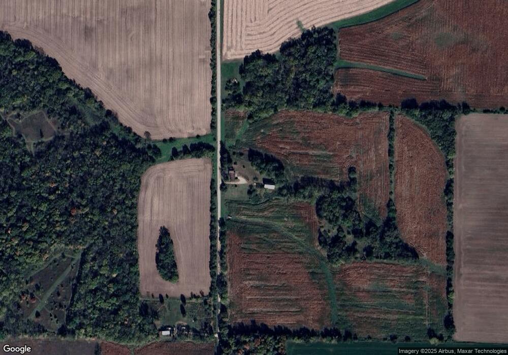
Map
Nearby Homes
- TBD Miller Rd
- W8192 Pilz Rd
- W8194 Pilz Rd
- N2090 Allen Rd
- 000 County Highway M
- 360 S Church St
- N2202 Cadiz Springs Rd
- 113 S Liberty St
- W7880 Wisconsin 11
- Lot 3 Rd
- 139.57 AC County Road M
- N2451 Ullom Rd Unit 20
- 000 County Road M
- 619 Bridge St
- 204 Carver St
- 430 Hubbard St
- 437 Hubbard St
- 439 Hubbard St
- W6579 Karric Ln
- 7841 W Hwy County M
- N1568 Mellenberger Rd
- N1503 Mellenberger Rd
- N1409 Mellenberger Rd
- N1583 Allen Rd
- N1583 Allen Rd
- N1751 Mellenberger Rd
- N1759 Mellenberger Rd
- W8346 County Road B
- W8346 County Road B
- w 8346 County Road B
- W8407 Davis Rd
- W8406 County Road B
- 264.6 ac W Indies Rd
- W8098 County Road B
- W8562 Davis Rd
- W8395 Davis Rd
- 8941 County B
- W8538 County Road B
- 0 County Road B Unit 1640745
- W8466 Butts Rd