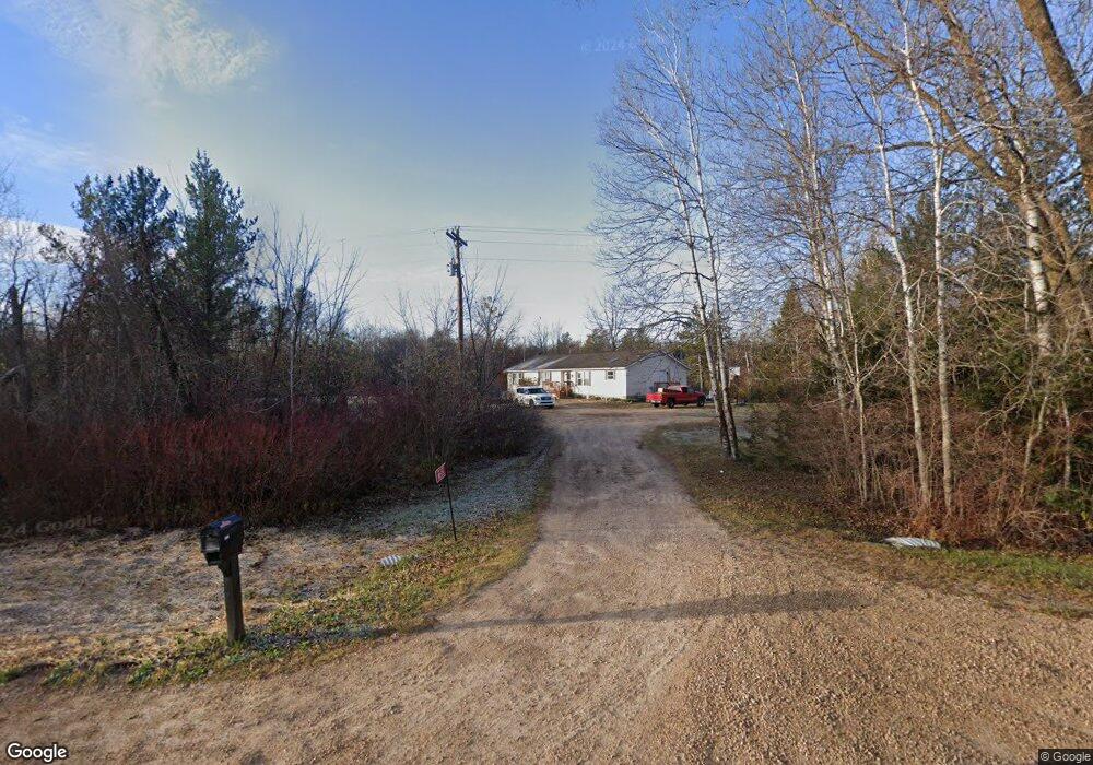
N1575 Us Highway 12 and 16 Lyndon Station, WI 53944
Estimated Value: $290,000 - $351,000
--
Bed
2
Baths
--
Sq Ft
1.61
Acres
About This Home
This home is located at N1575 Us Highway 12 and 16, Lyndon Station, WI 53944 and is currently estimated at $324,944. N1575 Us Highway 12 and 16 is a home located in Juneau County with nearby schools including Lyndon Station Elementary School, West Side Elementary School, and Grayside Elementary School.
Ownership History
Date
Name
Owned For
Owner Type
Purchase Details
Closed on
Oct 11, 2022
Sold by
Ely Julie A
Bought by
Warner John D
Current Estimated Value
Purchase Details
Closed on
May 16, 2018
Sold by
Federal Home Loan Mortgage Corporation
Bought by
Ely Julie A
Purchase Details
Closed on
Nov 15, 2017
Sold by
Bank Of Wisconsin Dells
Bought by
Federal Home Loan Mortgage Corporation
Purchase Details
Closed on
Oct 6, 2017
Sold by
Wolford Edgar Lee
Bought by
Bank Of Wisconsin Dells
Create a Home Valuation Report for This Property
The Home Valuation Report is an in-depth analysis detailing your home's value as well as a comparison with similar homes in the area
Home Values in the Area
Average Home Value in this Area
Purchase History
| Date | Buyer | Sale Price | Title Company |
|---|---|---|---|
| Warner John D | $250,000 | Dane County Title | |
| Ely Julie A | $45,000 | -- | |
| Federal Home Loan Mortgage Corporation | -- | -- | |
| Bank Of Wisconsin Dells | $117,600 | -- |
Source: Public Records
Tax History Compared to Growth
Tax History
| Year | Tax Paid | Tax Assessment Tax Assessment Total Assessment is a certain percentage of the fair market value that is determined by local assessors to be the total taxable value of land and additions on the property. | Land | Improvement |
|---|---|---|---|---|
| 2024 | $3,186 | $247,700 | $31,600 | $216,100 |
| 2023 | $3,153 | $159,500 | $14,400 | $145,100 |
| 2022 | $1,088 | $58,500 | $14,400 | $44,100 |
| 2021 | $1,006 | $58,500 | $14,400 | $44,100 |
| 2020 | $930 | $58,500 | $14,400 | $44,100 |
| 2019 | $857 | $58,500 | $14,400 | $44,100 |
| 2018 | $1,047 | $58,500 | $14,400 | $44,100 |
| 2017 | $3,318 | $173,900 | $14,400 | $159,500 |
| 2016 | $3,697 | $173,900 | $14,400 | $159,500 |
| 2015 | $3,697 | $173,900 | $14,400 | $159,500 |
| 2014 | $3,223 | $173,900 | $14,400 | $159,500 |
| 2013 | $3,414 | $173,900 | $14,400 | $159,500 |
Source: Public Records
Map
Nearby Homes
- 0 Koval Rd Unit 22560074
- 0 Koval Rd Unit 22500378
- W2027 Amerst Ln
- Lots 13 & 14 Bass Lake Ln
- Lt2 Koval Rd
- W1700 65th St
- 541 E Flint St
- W2047 County Rd N
- W1976 County Rd N
- W2313 Loescher Rd
- W1720 Southern Rd
- W2006 Lyndon Ln
- 37.70 Acres 63rd St
- 316 N Washington St
- 3.65 AC W Limits Rd
- 147 Honeyaire St
- 231 Lemonweir St
- W1838 Juneau Woods Rd
- 317 W Flint St
- N1145 Colleen Ln
- N1575 Us Highway 12 16
- W1939 Amherst Ct
- N1585 Hwy 12 16
- N1585 Us Highway 12 and 16
- N1565 Us Highway 12 and 16
- n 1565 Us Highway 12 and 16
- N1591 Us Highway 12 and 16
- N1595 Us Highway 12 and 16
- W1973 Amherst Ct
- n 1595 Us Highway 12 and 16
- W1924 Amherst Dr
- W1914 Amherst Dr
- W1964 Amherst Dr
- 0 Koval Rd
- 00 Koval Rd
- 0 Koval Rd Unit 22560293
- 0 Koval Rd Unit 22230981
- 0 Koval Rd Unit 22230982
- 0 Koval Rd Unit 1636708
- 0 Koval Rd Unit 1645763