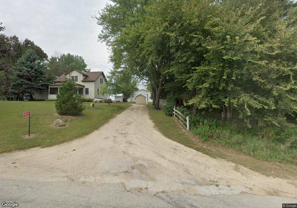
N1577 17th Rd Dalton, WI 53926
Estimated Value: $281,390 - $347,000
4
Beds
1
Bath
--
Sq Ft
217,800
Sq Ft Lot
About This Home
This home is located at N1577 17th Rd, Dalton, WI 53926 and is currently estimated at $312,348. N1577 17th Rd is a home located in Marquette County with nearby schools including Forest Lane Community School and Montello Junior/Senior High School.
Ownership History
Date
Name
Owned For
Owner Type
Purchase Details
Closed on
Oct 13, 2020
Sold by
Kuhns Alvin
Bought by
Kuhns Alvin and Kuhns Fannie
Current Estimated Value
Purchase Details
Closed on
Mar 6, 2020
Sold by
Schrock Andrew J and Schrock Ruby G
Bought by
Kuhns Alvin
Purchase Details
Closed on
Apr 30, 2010
Sold by
Close Rhody R and Close Judith A
Bought by
Schwartz Larry A and Schwartz Joy M
Purchase Details
Closed on
Aug 3, 2009
Sold by
Mast Robert E
Bought by
Close Joint Revoc Trust
Purchase Details
Closed on
Jun 3, 2009
Sold by
Close Judith A
Bought by
Stillmorning Farms Llc
Create a Home Valuation Report for This Property
The Home Valuation Report is an in-depth analysis detailing your home's value as well as a comparison with similar homes in the area
Purchase History
| Date | Buyer | Sale Price | Title Company |
|---|---|---|---|
| Kuhns Alvin | $150,000 | -- | |
| Kuhns Alvin | $185,000 | -- | |
| Schwartz Larry A | $150,000 | -- | |
| Close Joint Revoc Trust | $145,000 | -- | |
| Stillmorning Farms Llc | $113,505 | -- |
Source: Public Records
Mortgage History
| Date | Status | Borrower | Loan Amount |
|---|---|---|---|
| Closed | Stillmorning Farms Llc | $0 |
Source: Public Records
Tax History
| Year | Tax Paid | Tax Assessment Tax Assessment Total Assessment is a certain percentage of the fair market value that is determined by local assessors to be the total taxable value of land and additions on the property. | Land | Improvement |
|---|---|---|---|---|
| 2024 | $2,847 | $150,100 | $34,000 | $116,100 |
| 2023 | $2,791 | $150,100 | $34,000 | $116,100 |
| 2022 | $2,728 | $150,100 | $34,000 | $116,100 |
| 2021 | $2,730 | $150,100 | $34,000 | $116,100 |
| 2020 | $2,619 | $150,100 | $34,000 | $116,100 |
| 2019 | $2,463 | $150,100 | $34,000 | $116,100 |
| 2018 | $2,394 | $150,100 | $34,000 | $116,100 |
| 2017 | $2,637 | $150,100 | $34,000 | $116,100 |
| 2016 | $2,414 | $138,000 | $28,000 | $110,000 |
| 2015 | $254,216 | $138,000 | $28,000 | $110,000 |
| 2014 | -- | $138,000 | $28,000 | $110,000 |
| 2013 | -- | $138,000 | $28,000 | $110,000 |
| 2012 | -- | $138,000 | $28,000 | $110,000 |
Source: Public Records
Map
Nearby Homes
- N1514 18th Rd
- W1702 Golden Rd
- W2470 County Road B
- L17 Oak Rd
- L18 Oak Rd
- L14 Oak Rd
- L16 Oak Rd
- N3190 Oak Rd
- 2739 Whitetail Ln
- N3377 Flynn Dr
- Lot 54&55 Lalor Ln
- 111 Acres
- W5653 Grand Marsh Rd
- N9307 Old Highway 22 Rd
- W1026 Laurie Ln
- W913 W North Shore Dr
- W4534 County Rd E
- Lot 2 Eagle Rest Ct
- W642 Northern Pike
- N3840 County Road F
- N1544 17th Rd
- W2120 Gillette Rd
- W2101 Gillette Rd
- N1683 18th Rd
- N1083 18th Rd
- 0 18th Rd
- N1533 18th Rd
- N1709 18th Rd
- N1713 18th Rd
- N1621 18th Rd
- N1345 17th Rd
- N1698 18th Rd
- N1803 18th Rd
- N1326 18th Rd
- W2552 Gillette Rd
- N1610 18th Rd
- W1858 Grand Ave
- W2045 County Road B
- N1239 18th Rd
- W2204 County Road B
Your Personal Tour Guide
Ask me questions while you tour the home.