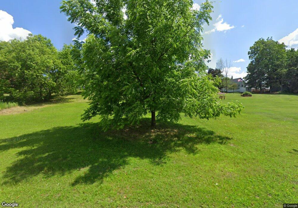
N15967 High St Powers, MI 49874
Estimated Value: $85,348 - $206,000
Studio
--
Bath
1,764
Sq Ft
$90/Sq Ft
Est. Value
About This Home
This home is located at N15967 High St, Powers, MI 49874 and is currently estimated at $158,337, approximately $89 per square foot. N15967 High St is a home located in Menominee County with nearby schools including North Central Elementary School and North Central Area Junior/Senior High School.
Ownership History
Date
Name
Owned For
Owner Type
Purchase Details
Closed on
Aug 4, 2011
Sold by
Wilson Gerry D and Wilson Kathleen M
Bought by
Gearhart Lacy A
Current Estimated Value
Purchase Details
Closed on
May 19, 2011
Sold by
Secretary Of Housing & Urban
Bought by
Wilson Gerry and Wilson Kathleen
Purchase Details
Closed on
Jan 19, 2011
Sold by
Wells Fargo Bank
Purchase Details
Closed on
Jan 14, 2011
Sold by
Wells Fargo Bank
Purchase Details
Closed on
Sep 3, 2010
Sold by
Munger Tasha J
Create a Home Valuation Report for This Property
The Home Valuation Report is an in-depth analysis detailing your home's value as well as a comparison with similar homes in the area
Purchase History
| Date | Buyer | Sale Price | Title Company |
|---|---|---|---|
| Gearhart Lacy A | $29,500 | -- | |
| Wilson Gerry | $18,500 | -- | |
| -- | -- | -- | |
| -- | -- | -- | |
| -- | $81,100 | -- |
Source: Public Records
Tax History Compared to Growth
Tax History
| Year | Tax Paid | Tax Assessment Tax Assessment Total Assessment is a certain percentage of the fair market value that is determined by local assessors to be the total taxable value of land and additions on the property. | Land | Improvement |
|---|---|---|---|---|
| 2025 | $717 | $28,900 | $4,300 | $24,600 |
| 2024 | $618 | $26,000 | $3,800 | $22,200 |
| 2023 | $250 | $28,700 | $28,700 | $0 |
| 2020 | $250 | $25,500 | $0 | $0 |
| 2019 | -- | $26,300 | $0 | $0 |
| 2018 | -- | $25,100 | $25,100 | $0 |
| 2017 | -- | $25,900 | $25,900 | $0 |
| 2016 | -- | $25,100 | $0 | $0 |
| 2015 | -- | $25,100 | $0 | $0 |
| 2014 | -- | $24,600 | $24,600 | $0 |
| 2013 | $250 | $25,000 | $0 | $0 |
Source: Public Records
Map
Nearby Homes
- TBD E Labelle Rd
- W3657 Greenwood Ave
- W6349 Greenwood Ave
- W5216 No 41 Rd
- TBD J1 Rd
- N17375 County Road 579
- TBD Cr 400 Parcel B Rd
- W3966 #32 Rd
- 18856 Vega Rd
- W4777 Lahay Rd
- 0 Detemple Rd
- W2813 3-1 Ln
- 703 Michigan Ave
- 3143 D Rd
- W715 Rd
- 2792 County Line Rd
- 0 County 366 Rd Unit 50318920
- 0 County 366 Rd Unit 50318919
- TBD Us2
- TBD New York Lake Rd
