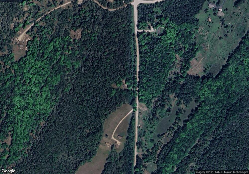
N16037 Carlson Lane H Spalding, MI 49886
Estimated Value: $47,000 - $125,000
--
Bed
--
Bath
980
Sq Ft
$83/Sq Ft
Est. Value
About This Home
This home is located at N16037 Carlson Lane H, Spalding, MI 49886 and is currently estimated at $81,544, approximately $83 per square foot. N16037 Carlson Lane H is a home with nearby schools including North Central Elementary School and North Central Area Junior/Senior High School.
Ownership History
Date
Name
Owned For
Owner Type
Purchase Details
Closed on
Apr 24, 2015
Sold by
Corrigan William G and Corrigan Sharline D
Bought by
Schwartzmier Rudy and Schwartzmier Carey
Current Estimated Value
Purchase Details
Closed on
Dec 19, 2011
Sold by
Scott James and Scott Lana
Bought by
Corrigan William G and Corrigan Sharline D
Purchase Details
Closed on
Sep 27, 2011
Sold by
Scott James and Scott Lana
Bought by
Corrigan William G and Corrigan Sharline D
Purchase Details
Closed on
Dec 6, 1990
Sold by
Sharkey Donald R and Sharkey Barbara A
Bought by
Scott James R C and Scott Lana M
Create a Home Valuation Report for This Property
The Home Valuation Report is an in-depth analysis detailing your home's value as well as a comparison with similar homes in the area
Home Values in the Area
Average Home Value in this Area
Purchase History
| Date | Buyer | Sale Price | Title Company |
|---|---|---|---|
| Schwartzmier Rudy | $30,000 | -- | |
| Corrigan William G | -- | -- | |
| Corrigan William G | $25,000 | -- | |
| Scott James R C | $19,800 | -- |
Source: Public Records
Tax History Compared to Growth
Tax History
| Year | Tax Paid | Tax Assessment Tax Assessment Total Assessment is a certain percentage of the fair market value that is determined by local assessors to be the total taxable value of land and additions on the property. | Land | Improvement |
|---|---|---|---|---|
| 2025 | $990 | $24,300 | $12,500 | $11,800 |
| 2024 | $891 | $23,100 | $12,000 | $11,100 |
| 2023 | $163 | $22,000 | $22,000 | $0 |
| 2022 | $163 | $22,000 | $22,000 | $0 |
| 2021 | $163 | $20,300 | $10,500 | $9,800 |
| 2020 | $163 | $19,300 | $0 | $0 |
| 2019 | -- | $19,600 | $0 | $0 |
| 2018 | -- | $22,600 | $22,600 | $0 |
| 2017 | -- | $22,700 | $22,700 | $0 |
| 2016 | -- | $16,600 | $0 | $0 |
| 2015 | -- | $16,600 | $0 | $0 |
| 2014 | -- | $16,500 | $16,500 | $0 |
| 2013 | $163 | $16,300 | $0 | $0 |
Source: Public Records
Map
Nearby Homes
- W3657 Greenwood Ave
- N16072 Maple St
- TBD E Labelle Rd
- 3930 E East Rd Rd
- W3711 Co 380 Rd
- 0 Vega Road O 1
- W5783 Co 388 Rd
- N11962 29 60 Ln
- 4047 D Rd
- 703 Michigan Ave
- 3549 D Rd
- 3143 D Rd
- W3966 #32 Rd
- 4484 D 15
- W699 State Highway M-69 G30 Rd
- W715 Rd
- W2813 3-1 Ln
- N17375 County Road 579
- 18856 Vega Rd
- W4317 Oakwood Rd
- N16013 Carlson Lane H
- N15894CARLS Carlson Ln
- N16091 Hillside Road H Rd
- N16095 Hillside Road H
- N16101 Hillside Road H
- N16129 Hillside Road H
- N16098 Gw Ave
- W2789 Hillside Road 40
- W2993 Burnt Knoll Rd
- W2988 Burnt Knoll Rd
- H-5 Gw Ave
- N15849 Carlson Ln H
- N16095 Gw Avenue H.5
- N16469 County Road 566
- W3565 Us Highway 2/41
- W3565 Us Highway 2/41
- W3565 Us Highway 2/41
- W3085 Us Highway 2/41
- W3085 Us Highway 2/41
- W3075 Us Highway 2/41
