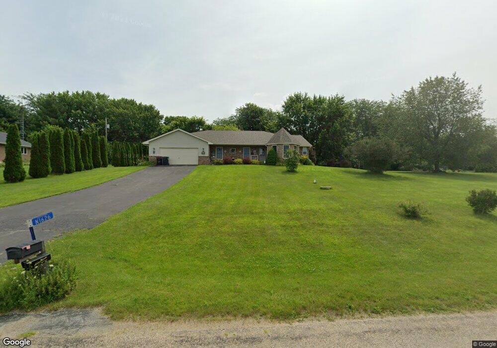
N1626 Carlin Rd Fort Atkinson, WI 53538
Estimated Value: $377,342 - $601,000
--
Bed
--
Bath
--
Sq Ft
0.69
Acres
About This Home
This home is located at N1626 Carlin Rd, Fort Atkinson, WI 53538 and is currently estimated at $460,586. N1626 Carlin Rd is a home located in Jefferson County with nearby schools including Luther Elementary School, Fort Atkinson Middle School, and Fort Atkinson High School.
Ownership History
Date
Name
Owned For
Owner Type
Purchase Details
Closed on
Apr 27, 2007
Sold by
Salvack Susan M
Bought by
Williams Michael D and Williams Donna L
Current Estimated Value
Home Financials for this Owner
Home Financials are based on the most recent Mortgage that was taken out on this home.
Original Mortgage
$180,000
Outstanding Balance
$109,548
Interest Rate
6.18%
Mortgage Type
New Conventional
Estimated Equity
$351,038
Create a Home Valuation Report for This Property
The Home Valuation Report is an in-depth analysis detailing your home's value as well as a comparison with similar homes in the area
Home Values in the Area
Average Home Value in this Area
Purchase History
| Date | Buyer | Sale Price | Title Company |
|---|---|---|---|
| Williams Michael D | $225,000 | None Available |
Source: Public Records
Mortgage History
| Date | Status | Borrower | Loan Amount |
|---|---|---|---|
| Open | Williams Michael D | $180,000 |
Source: Public Records
Tax History Compared to Growth
Tax History
| Year | Tax Paid | Tax Assessment Tax Assessment Total Assessment is a certain percentage of the fair market value that is determined by local assessors to be the total taxable value of land and additions on the property. | Land | Improvement |
|---|---|---|---|---|
| 2024 | $4,336 | $237,000 | $39,800 | $197,200 |
| 2023 | $4,389 | $237,000 | $39,800 | $197,200 |
| 2022 | $4,226 | $237,000 | $39,800 | $197,200 |
| 2021 | $3,932 | $237,000 | $39,800 | $197,200 |
| 2020 | $3,487 | $237,000 | $39,800 | $197,200 |
| 2019 | $3,580 | $194,700 | $37,400 | $157,300 |
| 2018 | $3,326 | $194,700 | $37,400 | $157,300 |
| 2017 | $3,279 | $194,700 | $37,400 | $157,300 |
| 2016 | $3,397 | $194,700 | $37,400 | $157,300 |
| 2015 | $3,447 | $194,700 | $37,400 | $157,300 |
| 2014 | $3,353 | $194,700 | $37,400 | $157,300 |
| 2013 | $3,464 | $194,700 | $37,400 | $157,300 |
Source: Public Records
Map
Nearby Homes
- N1657 Carlin Rd
- N1609 Pleasant Rd
- W6272 Apple Ln
- W6368 Briar Ln
- Lot #6 Commerce Pkwy
- Lot #10 Commerce Pkwy
- Lot #7 Commerce Pkwy
- Lot #1 Commerce Pkwy
- Lot #9 Commerce Pkwy
- 1268 Jamesway
- 206 Hilltop Trail
- 633 Hilltop Trail W
- 1402 Adrian Blvd
- 611 Talcott Ave
- 205 Wollet Dr
- 263 Heritage Dr Unit 20
- 265 Heritage Dr Unit 19
- 1000 Whitetail Dr
- 336 Jones Ave
- 42 Wilson Ave
- N1627 Poeppel Rd
- Lt25 Carlin Rd
- Lt25 Carlin Rd Unit Lt25
- N1644 Carlin Rd
- N1615 Poeppel Rd
- N1625 Carlin Rd
- N1602 Carlin Rd
- N1635 Carlin Rd
- N1643 Poeppel Rd
- N1617 Carlin Rd
- N1607 Poeppel Rd
- N1645 Carlin Rd
- N1654 Carlin Rd
- N1655 Poeppel Rd
- N1628 Poeppel Rd
- N1609 Carlin Rd
- N1620 Poeppel Rd
- N1644 Poeppel Rd
- N1589 Poeppel Rd
- N1668 Carlin Rd