N1644 Patrick Ln Waupaca, WI 54981
Estimated Value: $493,998 - $715,000
3
Beds
3
Baths
1,702
Sq Ft
$339/Sq Ft
Est. Value
About This Home
This home is located at N1644 Patrick Ln, Waupaca, WI 54981 and is currently estimated at $577,250, approximately $339 per square foot. N1644 Patrick Ln is a home located in Waupaca County with nearby schools including Waupaca Learning Center Elementary School, Waupaca Middle School, and Waupaca High School.
Create a Home Valuation Report for This Property
The Home Valuation Report is an in-depth analysis detailing your home's value as well as a comparison with similar homes in the area
Tax History
| Year | Tax Paid | Tax Assessment Tax Assessment Total Assessment is a certain percentage of the fair market value that is determined by local assessors to be the total taxable value of land and additions on the property. | Land | Improvement |
|---|---|---|---|---|
| 2024 | $3,854 | $339,100 | $125,000 | $214,100 |
| 2023 | $3,654 | $339,100 | $125,000 | $214,100 |
| 2022 | $3,994 | $232,800 | $45,500 | $187,300 |
| 2021 | $3,829 | $232,800 | $45,500 | $187,300 |
| 2020 | $3,648 | $232,800 | $45,500 | $187,300 |
| 2019 | $3,711 | $232,800 | $45,500 | $187,300 |
| 2018 | $4,387 | $232,800 | $45,500 | $187,300 |
| 2017 | $4,492 | $232,800 | $45,500 | $187,300 |
| 2016 | $4,354 | $232,800 | $45,500 | $187,300 |
| 2015 | $4,296 | $232,800 | $45,500 | $187,300 |
| 2014 | $4,574 | $241,400 | $56,300 | $185,100 |
| 2013 | $4,527 | $241,400 | $56,300 | $185,100 |
Source: Public Records
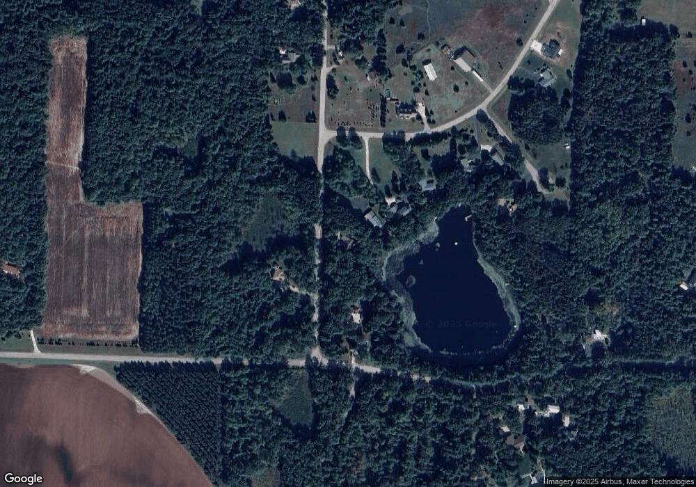
Map
Nearby Homes
- E806 Mynard Rd
- E1400 Stratton Lake Rd
- N1053 State Road 22
- N2307 Whispering Pines Rd
- E1234 Pine Tree Point
- E1471 Arbor St
- E1280 County Road Q Unit 3
- E1280 County Road Q
- E1402 Grandview Rd
- E1592 Murray Ln
- N517 County Road K
- E2030 Polly Rd
- 10976 Red Pine Way
- N2942 Highland Ln
- 0 State Road 22 Unit 50271805
- 0 State Road 22 Unit 50271804
- N2345 Parfreyville Rd
- 9866 Wisconsin 22
- N2980 Highland Ln
- E1747 Pine Ridge Ln
- N1654 Patrick Ln
- N1658 Dawn Dr
- N1612 Patrick Ln
- N1670 Dawn Dr
- E842 Stratton Lake Rd
- 0 Dawn Dr Unit 50166111
- 0 Dawn Dr Unit 50063631
- 0 Dawn Dr Unit 50241212
- 0 Dawn Dr Unit 20804488
- 0 Dawn Dr Unit 20906049
- 0 Dawn Dr Unit 50002428
- 0 Dawn Dr Unit 50016009
- 0 Dawn Dr Unit 50043723
- 0 Dawn Dr Unit 50203559
- N1673 Dawn Dr
- N1680 Dawn Dr
- N1655 Wilson Ct
- N1690 Patrick Ln
- 0 Wilson Ct Unit 50145181
- 0 Wilson Ct Unit 50035811
Your Personal Tour Guide
Ask me questions while you tour the home.