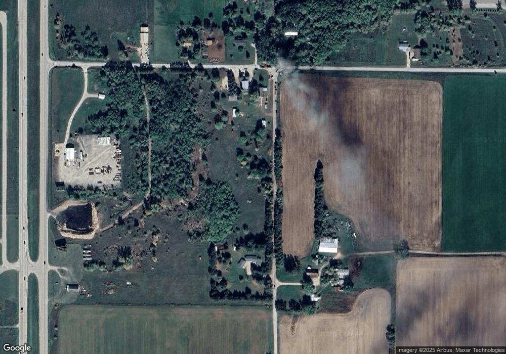
N1655 Kriese Rd Weyauwega, WI 54983
Estimated Value: $86,115 - $102,000
--
Bed
--
Bath
--
Sq Ft
4.53
Acres
About This Home
This home is located at N1655 Kriese Rd, Weyauwega, WI 54983 and is currently estimated at $96,372. N1655 Kriese Rd is a home with nearby schools including Weyauwega Elementary School, Weyauwega Middle School, and Weyauwega High School.
Ownership History
Date
Name
Owned For
Owner Type
Purchase Details
Closed on
Nov 24, 2021
Sold by
Stocker Frederick
Bought by
Wilson Real Estate Holdings Llc
Current Estimated Value
Home Financials for this Owner
Home Financials are based on the most recent Mortgage that was taken out on this home.
Original Mortgage
$42,500
Outstanding Balance
$39,078
Interest Rate
3.09%
Mortgage Type
Purchase Money Mortgage
Estimated Equity
$57,294
Create a Home Valuation Report for This Property
The Home Valuation Report is an in-depth analysis detailing your home's value as well as a comparison with similar homes in the area
Home Values in the Area
Average Home Value in this Area
Purchase History
| Date | Buyer | Sale Price | Title Company |
|---|---|---|---|
| Wilson Real Estate Holdings Llc | $25,000 | Knight Barry Title Svcs Llc |
Source: Public Records
Mortgage History
| Date | Status | Borrower | Loan Amount |
|---|---|---|---|
| Open | Wilson Real Estate Holdings Llc | $42,500 |
Source: Public Records
Tax History Compared to Growth
Tax History
| Year | Tax Paid | Tax Assessment Tax Assessment Total Assessment is a certain percentage of the fair market value that is determined by local assessors to be the total taxable value of land and additions on the property. | Land | Improvement |
|---|---|---|---|---|
| 2024 | $374 | $24,000 | $22,700 | $1,300 |
| 2023 | $374 | $24,000 | $22,700 | $1,300 |
| 2022 | $339 | $24,000 | $22,700 | $1,300 |
| 2021 | $350 | $24,000 | $22,700 | $1,300 |
| 2020 | $359 | $24,000 | $22,700 | $1,300 |
| 2019 | $364 | $24,000 | $22,700 | $1,300 |
| 2018 | $359 | $24,000 | $22,700 | $1,300 |
| 2017 | $336 | $24,000 | $22,700 | $1,300 |
| 2016 | $326 | $24,000 | $22,700 | $1,300 |
| 2015 | $343 | $24,000 | $22,700 | $1,300 |
| 2014 | $344 | $24,000 | $22,700 | $1,300 |
| 2013 | $370 | $24,000 | $22,700 | $1,300 |
Source: Public Records
Map
Nearby Homes
- E6041 Evanswood Rd
- 0 Hillside Dr Unit 50311949
- 0 Hillside Dr Unit 50308768
- 711 S Mary St
- 0 Wisconsin 49
- 111 W Parker St
- 110 W Sumner St
- 514 E Main St
- 205 W Main St
- 217 E Main St
- 103 W Main St
- 0 Koplien Rd Unit 50309317
- 201 2nd Ave
- 0 M Behm Ave
- 0 Ave
- 1009 Mill Pond Cir
- 1019 Mill Pond Cir
- 1003 Mill Pond Cir
- 1010A/B Mill Pond Cir
- 1028 Mill Pond Cir
- N1613 Kriese Rd
- E6006 Haffner Rd
- N1610 Kriese Rd
- E5990 Haffner Rd
- E5966 Haffner Rd
- 0 Haffner Rd Unit 50170370
- e 5917 Haffner Rd
- E5948 Haffner Rd
- E5917 Haffner Rd
- E6054 Haffner Rd
- N1796 Us Highway 10
- N1757 Evanswood Rd
- N1589 Us Highway 10 S
- N1791 Evanswood Rd
- N1719 Frontage Rd
- N1535 Evanswood Rd
- N1704 Evanswood Rd
- N1491 Evanswood Rd
- 0 Evanswood Rd Unit 50125162
- 0 Evanswood Rd Unit 50256777
