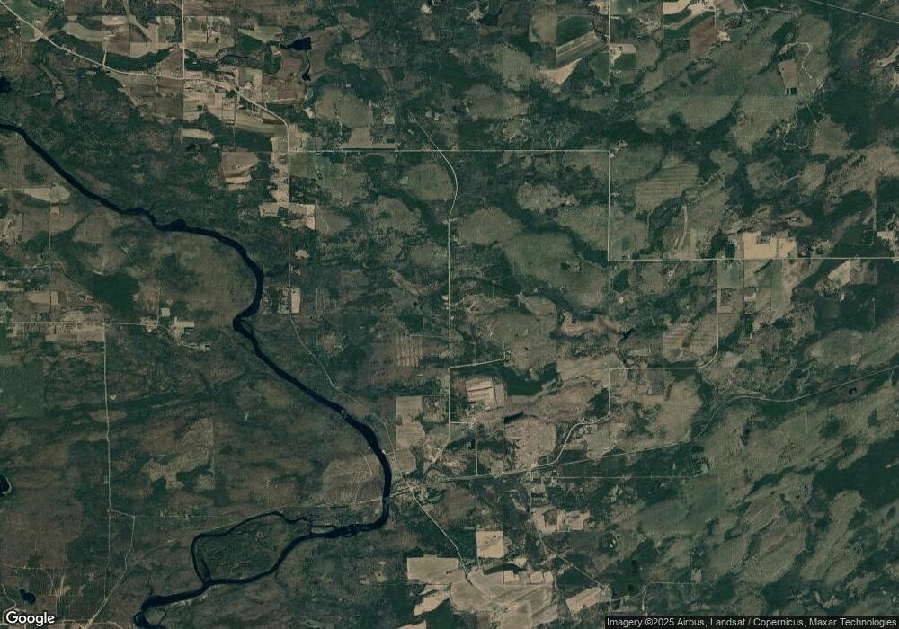
N16701 Gustafson Rd Vulcan, MI 49892
Estimated Value: $107,000 - $179,021
--
Bed
--
Bath
480
Sq Ft
$297/Sq Ft
Est. Value
About This Home
This home is located at N16701 Gustafson Rd, Vulcan, MI 49892 and is currently estimated at $142,674, approximately $297 per square foot. N16701 Gustafson Rd is a home located in Menominee County with nearby schools including Norway Elementary School, Vulcan Middle School, and Norway High School.
Ownership History
Date
Name
Owned For
Owner Type
Purchase Details
Closed on
Feb 24, 2012
Sold by
Fezatte David and Fezatte Brian
Bought by
Fezatte Brian
Current Estimated Value
Purchase Details
Closed on
May 11, 2010
Sold by
Massignan Douglas M and Massignan Leslie A
Bought by
Fezatte David and Fezatte Brian
Purchase Details
Closed on
Nov 12, 2007
Sold by
Kiser James and Kiser Nicole
Purchase Details
Closed on
May 1, 2006
Sold by
Weavers John and Weavers Elizabeth
Bought by
Kiser James and Kiser Nicole
Create a Home Valuation Report for This Property
The Home Valuation Report is an in-depth analysis detailing your home's value as well as a comparison with similar homes in the area
Home Values in the Area
Average Home Value in this Area
Purchase History
| Date | Buyer | Sale Price | Title Company |
|---|---|---|---|
| Fezatte Brian | -- | -- | |
| Fezatte David | $99,500 | -- | |
| -- | $62,000 | -- | |
| Kiser James | $70,000 | -- |
Source: Public Records
Tax History Compared to Growth
Tax History
| Year | Tax Paid | Tax Assessment Tax Assessment Total Assessment is a certain percentage of the fair market value that is determined by local assessors to be the total taxable value of land and additions on the property. | Land | Improvement |
|---|---|---|---|---|
| 2025 | $1,478 | $58,000 | $22,800 | $35,200 |
| 2024 | $1,322 | $58,200 | $26,900 | $31,300 |
| 2023 | $507 | $50,800 | $50,800 | $0 |
| 2022 | $507 | $50,800 | $50,800 | $0 |
| 2021 | $507 | $32,900 | $27,400 | $5,500 |
| 2020 | $507 | $54,400 | $0 | $0 |
| 2019 | -- | $53,500 | $0 | $0 |
| 2018 | -- | $53,500 | $53,500 | $0 |
| 2017 | -- | $52,300 | $52,300 | $0 |
| 2016 | -- | $51,800 | $0 | $0 |
| 2015 | -- | $51,800 | $0 | $0 |
| 2014 | -- | $51,300 | $51,300 | $0 |
| 2013 | $507 | $50,700 | $0 | $0 |
Source: Public Records
Map
Nearby Homes
- 2792 County Line Rd
- 0 Detemple Rd
- N17375 County Road 579
- W7507 G 18 Rd
- TBD Us2
- TBD New York Lake Rd
- TBD Waucedah Rd
- N19718 Morgan Park Rd
- N1307 Hamilton Lake Rd
- W5545 4th St
- 0 Vega Road O 1
- W6150 Steffen Ln
- W5216 No 41 Rd
- 0 White Pine Ln Unit 50313072
- 0 White Pine Ln Unit 50313077
- N1537 Ball Rd
- W3939 A St
- W6315 Chapman Rd
- TBD North St
- 0 Faucett Ln Unit 50312428
- N15563 County Road 577
- N15351 County Road 577
- N15533 County Road 577
- W8101 County Road 388
- W8033 Fox Farm Ln
- N15590 County Road 577
- W8260 County Rd 577 Ln
- N15670 Co Rd 577
- N15600 County Road 577 Rd
- N15670 County Road 577
- N15662 County Road 577
- N15348 State Road V 4
- N15348 State Road V 4
- N15348 State Road V 4
- N15326 State Road V 4
- W8295 Warren Kelly Dr
- N15163 State Rd V4
- N15667 County Road 577
- W8303 Warren Kelly Dr
- W8300 Warren Kelly Dr
