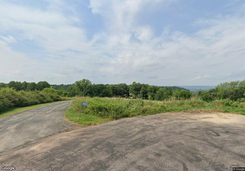
N1693 Boulder Ct La Crosse, WI 54601
Estimated Value: $551,000 - $796,651
--
Bed
--
Bath
--
Sq Ft
4.46
Acres
About This Home
This home is located at N1693 Boulder Ct, La Crosse, WI 54601 and is currently estimated at $667,663. N1693 Boulder Ct is a home located in La Crosse County with nearby schools including State Road Elementary School, Lincoln Middle School, and Central High School.
Ownership History
Date
Name
Owned For
Owner Type
Purchase Details
Closed on
Jan 8, 2018
Sold by
Benson Brian D and Benson Barbara A
Bought by
Benson Joint Trust
Current Estimated Value
Purchase Details
Closed on
Oct 31, 2006
Sold by
Rose Stephen G and Rose Nancy J
Bought by
Benson Brian D and Benson Barbara A
Home Financials for this Owner
Home Financials are based on the most recent Mortgage that was taken out on this home.
Original Mortgage
$652,000
Interest Rate
6.5%
Mortgage Type
New Conventional
Create a Home Valuation Report for This Property
The Home Valuation Report is an in-depth analysis detailing your home's value as well as a comparison with similar homes in the area
Home Values in the Area
Average Home Value in this Area
Purchase History
| Date | Buyer | Sale Price | Title Company |
|---|---|---|---|
| Benson Joint Trust | -- | None Available | |
| Benson Brian D | $815,000 | None Available |
Source: Public Records
Mortgage History
| Date | Status | Borrower | Loan Amount |
|---|---|---|---|
| Previous Owner | Benson Brian D | $652,000 |
Source: Public Records
Tax History Compared to Growth
Tax History
| Year | Tax Paid | Tax Assessment Tax Assessment Total Assessment is a certain percentage of the fair market value that is determined by local assessors to be the total taxable value of land and additions on the property. | Land | Improvement |
|---|---|---|---|---|
| 2023 | $11,317 | $573,700 | $68,600 | $505,100 |
| 2022 | $10,943 | $573,700 | $68,600 | $505,100 |
| 2021 | $11,279 | $573,700 | $68,600 | $505,100 |
| 2020 | $11,049 | $573,700 | $68,600 | $505,100 |
| 2019 | $11,119 | $573,700 | $68,600 | $505,100 |
| 2018 | $10,854 | $573,700 | $68,600 | $505,100 |
| 2017 | $10,707 | $573,700 | $68,600 | $505,100 |
| 2016 | $11,136 | $573,700 | $68,600 | $505,100 |
| 2015 | $11,024 | $573,700 | $68,600 | $505,100 |
| 2014 | $11,267 | $573,700 | $68,600 | $505,100 |
| 2013 | $11,930 | $560,200 | $80,000 | $480,200 |
Source: Public Records
Map
Nearby Homes
- W5419 Pine Bluff Rd
- W5453 Pine Bluff Rd
- N2015 Stonecrest Rd
- 000 Us Highway 14 61 -
- N1394 Red Oaks Dr
- W4844 State Road 33
- W4946 Battlestone Station Rd Unit 23
- W4952 Battlestone Station Rd Unit 25
- W5522 Eagle Point Dr
- W4936 Battlestone Station Rd
- N2031 County Road F -
- W4945 Harvest Ln
- W4934 Mill St
- N1110 Bloomer Mill Rd
- N1947 Forest Ridge Dr
- W4861 Harvest Ln
- N2194 Valley Rd
- 3324 Greenspire Ln
- 3026 33rd St S
- 3421 Greenbriar Ct
- N1689 Boulder Ct
- W5250 Knobloch Rd
- N1704 Boulder Ct
- N1683 Boulder Ct
- W5254 Knobloch Rd
- N1686 Boulder Ct
- W5244 Knobloch Rd
- W5251 Knobloch Rd
- W5249 Knobloch Rd
- W5247 Knobloch Rd
- W5241 Knobloch Rd
- W5240 Knobloch Rd
- W5237 Knobloch Rd
- W5236 Knobloch Rd
- W5232 Knobloch Rd
- W5231 Knobloch Rd
- W5228 Knobloch Rd
- W5229 Knobloch Rd
- W5225 Knobloch Rd
- W5224 Knobloch Rd