N1695 County Road K Waupaca, WI 54981
Estimated Value: $390,000 - $574,593
3
Beds
3
Baths
2,060
Sq Ft
$235/Sq Ft
Est. Value
About This Home
This home is located at N1695 County Road K, Waupaca, WI 54981 and is currently estimated at $483,398, approximately $234 per square foot. N1695 County Road K is a home located in Waupaca County with nearby schools including Waupaca Learning Center Elementary School, Waupaca Middle School, and Waupaca High School.
Ownership History
Date
Name
Owned For
Owner Type
Purchase Details
Closed on
Mar 13, 2015
Sold by
Capital Credit Union
Bought by
Resop Brian P and Resop Paula J
Current Estimated Value
Home Financials for this Owner
Home Financials are based on the most recent Mortgage that was taken out on this home.
Original Mortgage
$196,000
Outstanding Balance
$149,894
Interest Rate
3.64%
Mortgage Type
Construction
Estimated Equity
$333,504
Purchase Details
Closed on
May 22, 2014
Sold by
Gehring John D and Gehring Carol
Bought by
Capital Cu
Purchase Details
Closed on
Aug 28, 2006
Sold by
Moerschel Joel P and Moerschel Eugene D
Bought by
Gehring John and Gehring Carol
Home Financials for this Owner
Home Financials are based on the most recent Mortgage that was taken out on this home.
Original Mortgage
$256,000
Interest Rate
6.75%
Mortgage Type
Adjustable Rate Mortgage/ARM
Create a Home Valuation Report for This Property
The Home Valuation Report is an in-depth analysis detailing your home's value as well as a comparison with similar homes in the area
Home Values in the Area
Average Home Value in this Area
Purchase History
| Date | Buyer | Sale Price | Title Company |
|---|---|---|---|
| Resop Brian P | $24,500 | None Available | |
| Capital Cu | -- | None Available | |
| Gehring John | $78,000 | None Available |
Source: Public Records
Mortgage History
| Date | Status | Borrower | Loan Amount |
|---|---|---|---|
| Open | Resop Brian P | $196,000 | |
| Previous Owner | Gehring John | $256,000 |
Source: Public Records
Tax History Compared to Growth
Tax History
| Year | Tax Paid | Tax Assessment Tax Assessment Total Assessment is a certain percentage of the fair market value that is determined by local assessors to be the total taxable value of land and additions on the property. | Land | Improvement |
|---|---|---|---|---|
| 2024 | $4,788 | $443,200 | $87,000 | $356,200 |
| 2023 | $4,788 | $443,200 | $87,000 | $356,200 |
| 2022 | $4,721 | $273,200 | $54,400 | $218,800 |
| 2021 | $4,535 | $273,200 | $54,400 | $218,800 |
| 2020 | $4,312 | $273,200 | $54,400 | $218,800 |
| 2019 | $4,390 | $273,200 | $54,400 | $218,800 |
| 2018 | $5,378 | $273,200 | $54,400 | $218,800 |
| 2017 | $5,284 | $273,200 | $54,400 | $218,800 |
| 2016 | $5,284 | $273,200 | $54,400 | $218,800 |
| 2015 | $5,055 | $273,200 | $54,400 | $218,800 |
| 2014 | $5,097 | $268,600 | $54,400 | $214,200 |
| 2013 | $5,045 | $268,600 | $54,400 | $214,200 |
Source: Public Records
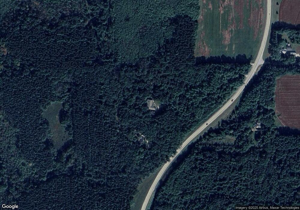
Map
Nearby Homes
- E1400 Stratton Lake Rd
- E1457 Rural Rd
- 0 Jensen Rd
- N1983 Evergreen Ln
- E2041 Meadowlark Ln
- N1705 Virginia Dr
- N2071 Mary Jane Cir
- N1903 Virginia Dr
- N2475 E Miner Dr
- 0 State Road 22 Unit 50271805
- 0 State Road 22 Unit 50271804
- E1396 Grandview Rd
- N2371 Long Cove Dr
- E2319 Parfreyville Rd
- E1280 County Road Q Unit 3
- N2089 Shadow Rd
- E1761 Amy St
- E1852 King Rd
- N2645 Pleasant Park Ln
- 0 Crystal Rd Unit 50302177
- N1695 County Highway K
- N1637 County Road K
- N1637 County Highway K
- E1701 Olive Dale Ln
- E1710 Olive Dale Ln
- E1371 Stratton Lake Rd
- E1571 Stratton Lake Rd
- E1571 Stratton Lake Rd
- E1563 Stratton Lake Rd
- N1785 County Road K
- N1785 County Highway K
- E1555 Stratton Lake Rd
- E1515 Stratton Lake Rd
- E1490 Stratton Lake Rd
- 0 Sanders Rd Unit 50133755
- 0 Sanders Rd Unit 20903413
- 0 Sanders Rd Unit 50003596
- 0 Sanders Rd Unit 50018332
- 0 Sanders Rd Unit 50060288
- 0 Sanders Rd Unit 50077874