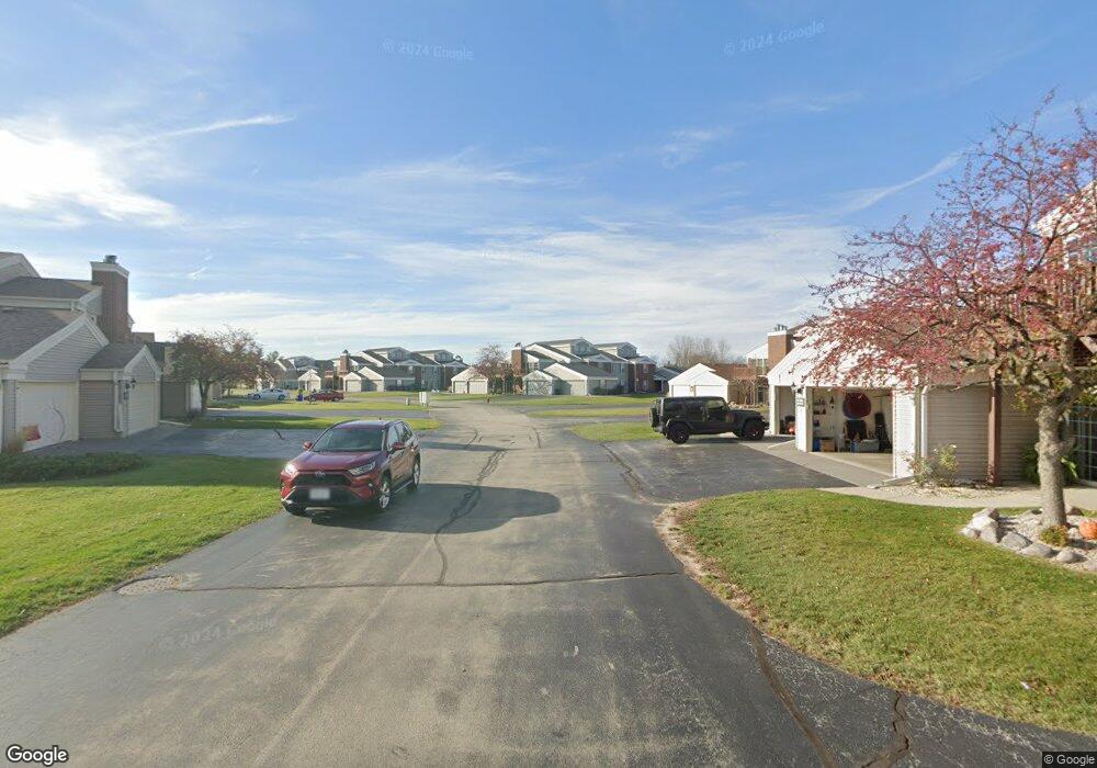
N16W26533 Wild Oats Dr Unit 286 Pewaukee, WI 53072
Estimated Value: $342,000 - $363,201
--
Bed
--
Bath
--
Sq Ft
0.59
Acres
About This Home
This home is located at N16W26533 Wild Oats Dr Unit 286, Pewaukee, WI 53072 and is currently estimated at $352,800. N16W26533 Wild Oats Dr Unit 286 is a home located in Waukesha County with nearby schools including Meadowbrook Elementary School, Butler Middle School, and North High School.
Ownership History
Date
Name
Owned For
Owner Type
Purchase Details
Closed on
May 15, 2012
Sold by
Bethia Jennifer
Bought by
Ferris Suzanne M
Current Estimated Value
Home Financials for this Owner
Home Financials are based on the most recent Mortgage that was taken out on this home.
Original Mortgage
$116,000
Outstanding Balance
$80,747
Interest Rate
4%
Mortgage Type
New Conventional
Estimated Equity
$272,053
Purchase Details
Closed on
Oct 13, 2003
Sold by
Samuel & Margaret S Bethia 1993 Living T
Bought by
Bethia Jennifer
Purchase Details
Closed on
Jul 30, 2003
Sold by
Spice Creek Llc
Bought by
Samuel & Margaret S Bethia 1993 Living T
Create a Home Valuation Report for This Property
The Home Valuation Report is an in-depth analysis detailing your home's value as well as a comparison with similar homes in the area
Home Values in the Area
Average Home Value in this Area
Purchase History
| Date | Buyer | Sale Price | Title Company |
|---|---|---|---|
| Ferris Suzanne M | $145,000 | None Available | |
| Bethia Jennifer | -- | -- | |
| Samuel & Margaret S Bethia 1993 Living T | $175,900 | -- |
Source: Public Records
Mortgage History
| Date | Status | Borrower | Loan Amount |
|---|---|---|---|
| Open | Ferris Suzanne M | $116,000 |
Source: Public Records
Tax History Compared to Growth
Tax History
| Year | Tax Paid | Tax Assessment Tax Assessment Total Assessment is a certain percentage of the fair market value that is determined by local assessors to be the total taxable value of land and additions on the property. | Land | Improvement |
|---|---|---|---|---|
| 2024 | $2,278 | $238,600 | $28,000 | $210,600 |
| 2023 | $2,281 | $238,600 | $28,000 | $210,600 |
| 2022 | $2,216 | $238,600 | $28,000 | $210,600 |
| 2021 | $2,387 | $238,600 | $28,000 | $210,600 |
| 2020 | $2,255 | $178,700 | $21,500 | $157,200 |
| 2019 | $2,179 | $178,700 | $21,500 | $157,200 |
| 2018 | $2,073 | $178,700 | $21,500 | $157,200 |
| 2017 | $2,072 | $178,700 | $21,500 | $157,200 |
| 2016 | $2,185 | $178,700 | $21,500 | $157,200 |
| 2015 | $2,226 | $178,700 | $21,500 | $157,200 |
| 2014 | $2,294 | $178,700 | $21,500 | $157,200 |
| 2013 | $2,294 | $178,700 | $21,500 | $157,200 |
Source: Public Records
Map
Nearby Homes
- N16W26539 Tall Reeds Ln Unit D
- N15W26518 Tall Reeds Ln Unit C
- N16W26549 Tall Reeds Ln Unit A
- N16W26549 Wild Oats Dr Unit 25-C
- N16W26571 Tall Reeds Ln Unit B
- N16W26573 Tall Reeds Ln Unit A
- N16W26583 Wild Oats Dr Unit C
- N19W26672 Milkweed Ln Unit A
- 2912 N University Dr Unit 305
- 2735 Coventry Ln
- W263N2345 Deer Haven Dr
- W270N765 Joanne Dr
- W265N2666 Meadowbrook Rd
- N16W27601 Pheasant Ln
- N26W26388 Quail Hollow Rd Unit A
- 2605 Emslie Dr
- 2116 Woodburn Rd Unit B
- W271N2631 Orchard Ln
- 2112 Woodburn Rd Unit E
- W269N2762 Lelah Ave
- N16W26533 Tall Reeds Ln Unit 284
- N16W26533 Tall Reeds Ln Unit H
- N16W26533E Tall Reeds Ln Unit 285
- N16W26533 Wild Oats Dr Unit 287
- N16W26533 Wild Oats Dr Unit 283
- N16W26533 Wild Oats Dr Unit 282
- N16W26533 Tall Reeds Ln Unit 281
- N16W26547 Tall Reeds Ln Unit 274
- N16W26547 Tall Reeds Ln Unit 271
- N16W26547 Tall Reeds Ln Unit 275
- N16W26547 Wild Oats Dr Unit 272
- N16W26547 Wild Oats Dr Unit 273
- N16W26547 Wild Oats Dr Unit 277
- N16W26547 Wild Oats Dr Unit 276
- N16W26547 Tall Reeds Ln Unit 278
- N16 W 26549 Wild Oats Unit B
- N16W26535 Tall Reeds Ln Unit 303
- N16W26535 Tall Reeds Ln Unit 302
- N16W26535 Tall Reeds Ln Unit 307
- N16W26535 Tall Reeds Ln Unit 306