N17007 Dale Valley Ln Galesville, WI 54630
Estimated Value: $618,000 - $808,833
--
Bed
--
Bath
--
Sq Ft
18.48
Acres
About This Home
This home is located at N17007 Dale Valley Ln, Galesville, WI 54630 and is currently estimated at $713,417. N17007 Dale Valley Ln is a home with nearby schools including Galesville-Ettrick-Trempealeau High School.
Ownership History
Date
Name
Owned For
Owner Type
Purchase Details
Closed on
Apr 20, 2012
Sold by
Babros Timoty E
Bought by
Connolly Patrick H and Connolly Kathryn T
Current Estimated Value
Purchase Details
Closed on
Sep 22, 2006
Sold by
Emmons David D and Naas Cathy J
Bought by
Babros Timothy E and Babros Sandra M
Home Financials for this Owner
Home Financials are based on the most recent Mortgage that was taken out on this home.
Original Mortgage
$90,000
Interest Rate
6.59%
Mortgage Type
Stand Alone Second
Purchase Details
Closed on
May 11, 2005
Sold by
Naas Cathy J and Emmons David D
Bought by
Naas William L
Purchase Details
Closed on
Apr 18, 2005
Sold by
Naas Cathy J and Emmons David D
Bought by
Naas William L
Create a Home Valuation Report for This Property
The Home Valuation Report is an in-depth analysis detailing your home's value as well as a comparison with similar homes in the area
Home Values in the Area
Average Home Value in this Area
Purchase History
| Date | Buyer | Sale Price | Title Company |
|---|---|---|---|
| Connolly Patrick H | $495,000 | None Available | |
| Babros Timothy E | $100,000 | None Available | |
| Naas William L | -- | None Available | |
| Naas William L | -- | None Available |
Source: Public Records
Mortgage History
| Date | Status | Borrower | Loan Amount |
|---|---|---|---|
| Previous Owner | Babros Timothy E | $90,000 |
Source: Public Records
Tax History Compared to Growth
Tax History
| Year | Tax Paid | Tax Assessment Tax Assessment Total Assessment is a certain percentage of the fair market value that is determined by local assessors to be the total taxable value of land and additions on the property. | Land | Improvement |
|---|---|---|---|---|
| 2024 | $8,387 | $456,500 | $35,700 | $420,800 |
| 2023 | $8,062 | $456,500 | $35,700 | $420,800 |
| 2022 | $8,731 | $456,500 | $35,700 | $420,800 |
| 2021 | $8,062 | $456,500 | $35,700 | $420,800 |
| 2020 | $8,062 | $77,780 | $35,700 | $42,080 |
| 2019 | $8,237 | $456,500 | $35,700 | $420,800 |
| 2018 | $7,545 | $365,800 | $35,700 | $330,100 |
| 2017 | $7,540 | $365,800 | $35,700 | $330,100 |
| 2016 | $400 | $19,500 | $19,500 | $0 |
| 2015 | $364 | $19,500 | $19,500 | $0 |
| 2014 | $356 | $19,500 | $19,500 | $0 |
| 2011 | $354 | $19,500 | $19,500 | $0 |
Source: Public Records
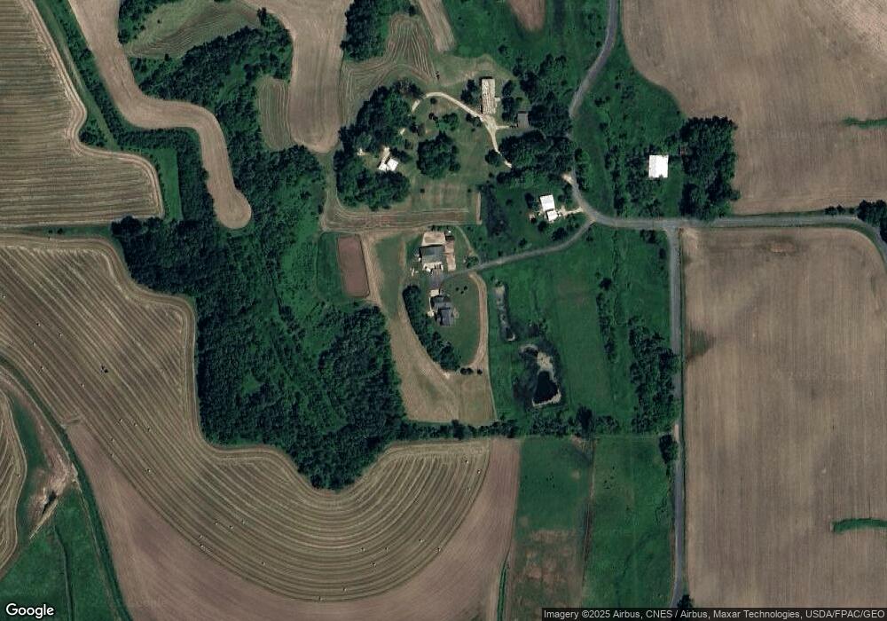
Map
Nearby Homes
- 16771 S 15th St
- 21584 Somerset Downs Ln
- 21572 Somerset Downs Ln
- Lot 19 Presley Ln
- 20278 Bibby St
- 0 N 4th St
- 20153 Hammer Ave
- XXX N 4th St
- 20054 W Mill Rd
- 16648 S Main St
- 000 Bluestem Ln
- N18078 County Road T
- N16450 Hilltop Ln
- N15088 Hogden Rd
- 0 County Hwy K - Unit 1919593
- N16219 State Road 93
- N15636 State Road 35
- Lot 12 Cherub Ct
- Lot 11 Cherub Ct
- W23903 Swartling Rd
- N17025 Dale Valley Ln
- N17043 Dale Valley Ln
- N17272 Dale Valley Ln
- N17242 Dale Valley Ln
- W21248 Emerson Ln
- 17043 Dale Valley Ln
- W21194 Emerson Ln
- W21132 Emerson Ln
- W21123 Emerson Ln
- W21123 Emerson Ln
- 16775 S 15th St
- 16775 S 15th St
- N16465 Dale Valley Ln
- W21487 Brown Addition Ln
- W21429 Brown Addition Ln
- w 21730 Lisa Ln
- W21730 Lisa Ln
- W21694 Lisa Ln
- W21391 Brown Addition Ln
- n 16476 Lloyd Ln