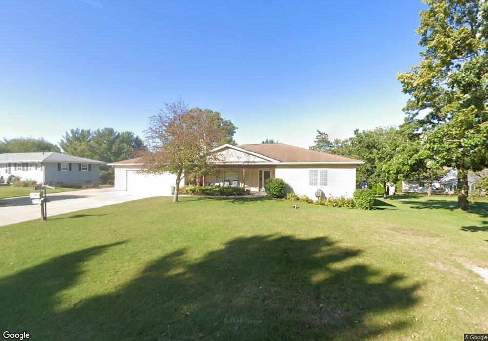
N1795 Maple St Fort Atkinson, WI 53538
Estimated Value: $340,899 - $416,000
Studio
--
Bath
--
Sq Ft
0.37
Acres
About This Home
This home is located at N1795 Maple St, Fort Atkinson, WI 53538 and is currently estimated at $366,475. N1795 Maple St is a home located in Jefferson County with nearby schools including Luther Elementary School, Fort Atkinson Middle School, and Fort Atkinson High School.
Ownership History
Date
Name
Owned For
Owner Type
Purchase Details
Closed on
Jul 12, 2024
Sold by
White James L and White Linda L
Bought by
Wessel Daniel C and Wessel Rebekka K
Current Estimated Value
Home Financials for this Owner
Home Financials are based on the most recent Mortgage that was taken out on this home.
Original Mortgage
$265,000
Outstanding Balance
$261,810
Interest Rate
6.95%
Mortgage Type
New Conventional
Estimated Equity
$104,665
Create a Home Valuation Report for This Property
The Home Valuation Report is an in-depth analysis detailing your home's value as well as a comparison with similar homes in the area
Home Values in the Area
Average Home Value in this Area
Purchase History
| Date | Buyer | Sale Price | Title Company |
|---|---|---|---|
| Wessel Daniel C | $305,000 | None Listed On Document |
Source: Public Records
Mortgage History
| Date | Status | Borrower | Loan Amount |
|---|---|---|---|
| Open | Wessel Daniel C | $265,000 |
Source: Public Records
Tax History
| Year | Tax Paid | Tax Assessment Tax Assessment Total Assessment is a certain percentage of the fair market value that is determined by local assessors to be the total taxable value of land and additions on the property. | Land | Improvement |
|---|---|---|---|---|
| 2024 | $4,652 | $254,600 | $31,500 | $223,100 |
| 2023 | $4,709 | $254,600 | $31,500 | $223,100 |
| 2022 | $4,557 | $254,600 | $31,500 | $223,100 |
| 2021 | $4,240 | $254,600 | $31,500 | $223,100 |
| 2020 | $3,755 | $254,600 | $31,500 | $223,100 |
| 2019 | $4,208 | $227,600 | $35,800 | $191,800 |
| 2018 | $3,905 | $227,600 | $35,800 | $191,800 |
| 2017 | $3,841 | $227,600 | $35,800 | $191,800 |
| 2016 | $3,981 | $227,600 | $35,800 | $191,800 |
| 2015 | $4,015 | $227,600 | $35,800 | $191,800 |
| 2014 | $3,905 | $227,600 | $35,800 | $191,800 |
| 2013 | $4,037 | $227,600 | $35,800 | $191,800 |
Source: Public Records
Map
Nearby Homes
- 202 Highland Ave
- 436 Raintree Dr
- 1510 Agnes Rd
- 1268 Jamesway
- 1305 Endl Blvd
- 265 Heritage Dr Unit 19
- 206 Hilltop Trail
- 1003 Peterson St
- N1810 U S 12
- 1220 Janesville Ave
- W5879 Arbor Rd
- 1000 Whitetail Dr
- 612 Maple St
- 622 Maple St
- The Delafield Plan at Jones Park
- The Richmond Plan at Jones Park
- The Benton Plan at Jones Park
- The Rochester Plan at Jones Park
- The Alexandria Plan at Jones Park
- The Cambridge Plan at Jones Park