N17W5290 Garfield St Cedarburg, WI 53012
Estimated Value: $334,000 - $541,000
--
Bed
--
Bath
--
Sq Ft
0.32
Acres
About This Home
This home is located at N17W5290 Garfield St, Cedarburg, WI 53012 and is currently estimated at $422,726. N17W5290 Garfield St is a home with nearby schools including Cedarburg High School, St Francis Borgia Catholic School, and Morningstar Montessori Inc.
Ownership History
Date
Name
Owned For
Owner Type
Purchase Details
Closed on
May 7, 2021
Sold by
Landers David
Bought by
5290 92 Garfield Ave Llc
Current Estimated Value
Purchase Details
Closed on
Apr 29, 2015
Sold by
Mantel Dean C and Mantel Paula J Race
Bought by
Landers David
Home Financials for this Owner
Home Financials are based on the most recent Mortgage that was taken out on this home.
Original Mortgage
$200,000
Interest Rate
3.68%
Mortgage Type
New Conventional
Create a Home Valuation Report for This Property
The Home Valuation Report is an in-depth analysis detailing your home's value as well as a comparison with similar homes in the area
Home Values in the Area
Average Home Value in this Area
Purchase History
| Date | Buyer | Sale Price | Title Company |
|---|---|---|---|
| 5290 92 Garfield Ave Llc | -- | None Available | |
| Landers David | -- | -- |
Source: Public Records
Mortgage History
| Date | Status | Borrower | Loan Amount |
|---|---|---|---|
| Previous Owner | Landers David | $200,000 |
Source: Public Records
Tax History Compared to Growth
Tax History
| Year | Tax Paid | Tax Assessment Tax Assessment Total Assessment is a certain percentage of the fair market value that is determined by local assessors to be the total taxable value of land and additions on the property. | Land | Improvement |
|---|---|---|---|---|
| 2024 | $5,605 | $368,700 | $88,600 | $280,100 |
| 2023 | $5,217 | $368,700 | $88,600 | $280,100 |
| 2022 | $5,075 | $368,700 | $88,600 | $280,100 |
| 2021 | $4,609 | $253,200 | $80,500 | $172,700 |
| 2020 | $4,841 | $253,200 | $80,500 | $172,700 |
| 2019 | $4,779 | $253,200 | $80,500 | $172,700 |
| 2018 | $4,689 | $253,200 | $80,500 | $172,700 |
| 2017 | $4,590 | $253,200 | $80,500 | $172,700 |
| 2016 | $4,710 | $253,200 | $80,500 | $172,700 |
| 2015 | $4,570 | $253,200 | $80,500 | $172,700 |
| 2014 | $4,646 | $253,200 | $80,500 | $172,700 |
| 2013 | $4,867 | $253,200 | $80,500 | $172,700 |
Source: Public Records
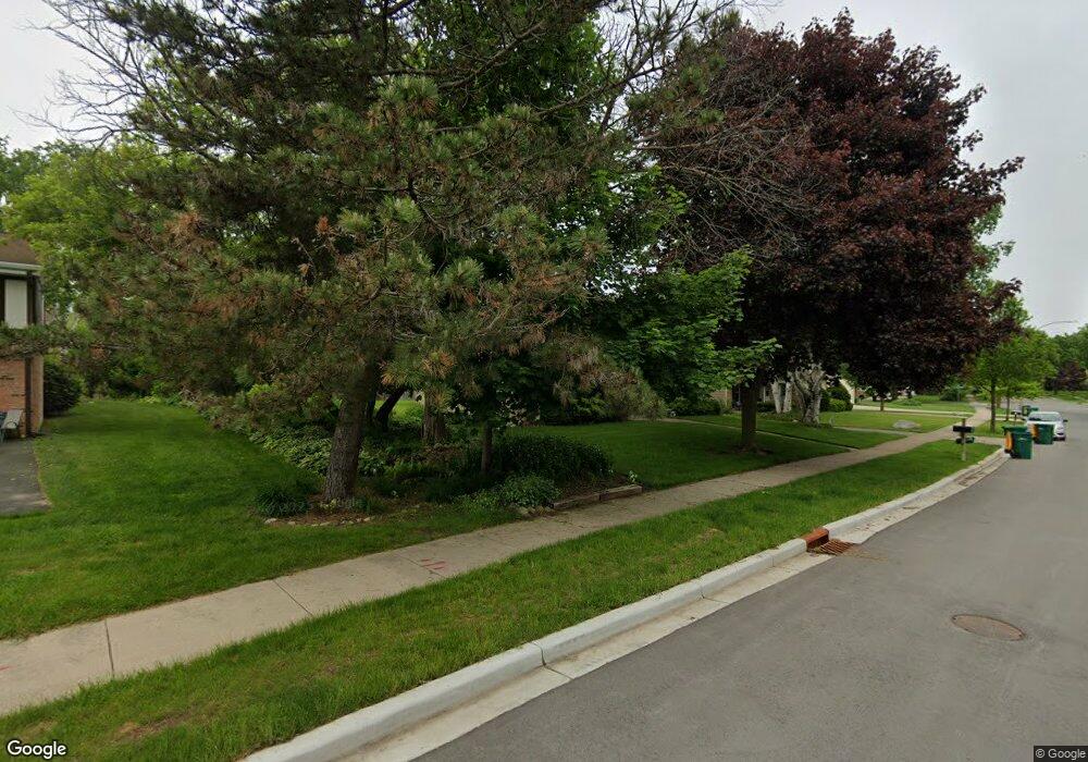
Map
Nearby Homes
- N20W5341 Pierce Ct
- N17W5347 Garfield Ct Unit 3
- W52N175 Fillmore Ave
- W52N129 Pioneer Ct Unit A
- W52N116 Pioneer Ct Unit B
- W54N114 Mckinley Ct
- N27W5230 Hamilton Rd
- W77N380 Prairie View Rd
- N39W5483 Wilshire Dr
- 1958 Homestead Ct
- W61N413 Washington Ave
- N28W6642 Alyce St Unit 7
- N30W6880 Lincoln Blvd
- N50W6592 Western Rd
- N56W6339 Center St
- 1855 Howard Dr
- Lt2 W Bonniwell Rd
- 3560 W Pine View Ct
- 3561 W Pine View Ct
- Lt2 Blk1 Pioneer Rd
- N17W5382 Garfield St Unit 2
- N17W5328 Garfield St
- N17W5364 Garfield St
- N17W5366 Garfield St
- N17W5260 Garfield St
- N175-77 Fillmore Ave
- N19W5289 Pierce Ct
- N19W5287 Pierce Ct Unit 2
- N19W5285 Pierce Ct
- N18W5341 Pierce Ct
- N17W5189 Garfield Cir
- N17W5237 Garfield Cir
- N17W5195 Garfield Cir Unit 2
- N17W5197 Garfield Cir
- N17W5213 Garfield Cir
- N18W5315 Pierce Ct
- N21W5336 Pierce Ct
- N21W5340 Pierce Ct
- N21W5338 Pierce Ct
- N21W5342 Pierce Ct