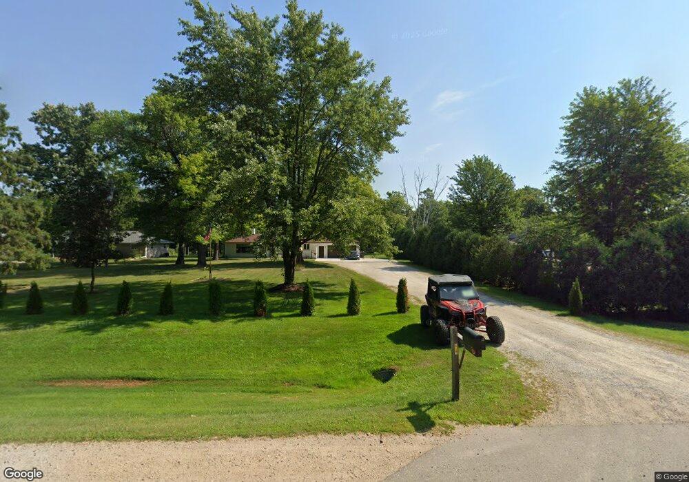
N1866 State Highway 55 Kaukauna, WI 54130
Estimated Value: $335,000 - $357,363
--
Bed
--
Bath
--
Sq Ft
2.01
Acres
About This Home
This home is located at N1866 State Highway 55, Kaukauna, WI 54130 and is currently estimated at $344,841. N1866 State Highway 55 is a home located in Outagamie County with nearby schools including River View School, Kaukauna High School, and Park Community Charter School.
Ownership History
Date
Name
Owned For
Owner Type
Purchase Details
Closed on
Mar 23, 2025
Sold by
Zwick Dylan and Zwick Carmen
Bought by
Sladky Connor and Wagner Samantha
Current Estimated Value
Home Financials for this Owner
Home Financials are based on the most recent Mortgage that was taken out on this home.
Original Mortgage
$323,010
Outstanding Balance
$321,357
Interest Rate
6.87%
Mortgage Type
New Conventional
Estimated Equity
$23,484
Purchase Details
Closed on
Sep 24, 2021
Sold by
Oskey Carla J
Bought by
Zwick Dylan
Home Financials for this Owner
Home Financials are based on the most recent Mortgage that was taken out on this home.
Original Mortgage
$151,900
Interest Rate
2.15%
Purchase Details
Closed on
May 29, 2019
Sold by
Oskey William P
Bought by
Oskey Carla J
Create a Home Valuation Report for This Property
The Home Valuation Report is an in-depth analysis detailing your home's value as well as a comparison with similar homes in the area
Home Values in the Area
Average Home Value in this Area
Purchase History
| Date | Buyer | Sale Price | Title Company |
|---|---|---|---|
| Sladky Connor | $343,500 | First American Title Insurance | |
| Zwick Dylan | $189,900 | -- | |
| Oskey Carla J | -- | -- |
Source: Public Records
Mortgage History
| Date | Status | Borrower | Loan Amount |
|---|---|---|---|
| Open | Sladky Connor | $323,010 | |
| Previous Owner | Zwick Dylan | $151,900 |
Source: Public Records
Tax History Compared to Growth
Tax History
| Year | Tax Paid | Tax Assessment Tax Assessment Total Assessment is a certain percentage of the fair market value that is determined by local assessors to be the total taxable value of land and additions on the property. | Land | Improvement |
|---|---|---|---|---|
| 2024 | $2,781 | $209,000 | $65,100 | $143,900 |
| 2023 | $2,488 | $209,000 | $65,100 | $143,900 |
| 2022 | $2,288 | $209,000 | $65,100 | $143,900 |
| 2021 | $2,371 | $209,000 | $65,100 | $143,900 |
| 2020 | $2,802 | $170,500 | $48,500 | $122,000 |
| 2019 | $2,735 | $170,500 | $48,500 | $122,000 |
| 2018 | $2,789 | $170,500 | $48,500 | $122,000 |
| 2017 | $2,675 | $170,500 | $48,500 | $122,000 |
| 2016 | $2,622 | $170,500 | $48,500 | $122,000 |
| 2015 | $2,623 | $170,500 | $48,500 | $122,000 |
| 2014 | $2,610 | $170,500 | $48,500 | $122,000 |
| 2013 | $2,717 | $170,500 | $48,500 | $122,000 |
Source: Public Records
Map
Nearby Homes
- 0 Oak Creek Ct
- 1340 Ben's Way
- 1482 Haen Dr
- 1475 Haen Dr
- 1360 Ben's Way
- 1303 Haen Dr
- 1153 W Ducharme St Unit 7
- 632 Idlewild St
- 1013 Harvest Trail
- 608 Black St
- 501 Hammen Ct
- 304 Maple Dr
- N2382 Maloney Rd
- 106 Hayes St
- 1011 Oviatt St
- 517 Gertrude St
- N2426 Maloney Rd
- N2130 County Rd N
- 700 Desnoyer St
- 1207 Hietpas St
- N1866 State Highway 55
- N1860 State Highway 55
- N1878 State Highway 55
- N1854 State Highway 55
- N1882 State Highway 55
- W1792 Dragonfly Ct
- W1793 Dragonfly Ct
- N1961 Emery Ln
- W1786 Dragonfly Ct
- W1787 Dragonfly Ct
- W1776 Dragonfly Ct
- N1966 Emery Ln
- N1918 Emery Ln
- 1888 Emery Ln
- W1950 Pond Dr
- N1904 Emery Ln
- W1756 Christine Ct
- W1958 Pond Dr
- N1888 Emery Ln
- 0 Emery Ln Unit 50087321