N1917 Shadow Rd Waupaca, WI 54981
Estimated Value: $104,867 - $323,000
2
Beds
--
Bath
700
Sq Ft
$319/Sq Ft
Est. Value
About This Home
This home is located at N1917 Shadow Rd, Waupaca, WI 54981 and is currently estimated at $223,217, approximately $318 per square foot. N1917 Shadow Rd is a home located in Waupaca County with nearby schools including Waupaca Learning Center Elementary School, Waupaca Middle School, and Waupaca High School.
Ownership History
Date
Name
Owned For
Owner Type
Purchase Details
Closed on
Oct 23, 2018
Sold by
Paul Cheryl L
Bought by
Paul Monte L
Current Estimated Value
Purchase Details
Closed on
Aug 28, 2018
Sold by
Paul Shawn M
Bought by
Paul Monte L
Purchase Details
Closed on
Aug 25, 2018
Sold by
Paul Caroline R
Bought by
Paul Monte L
Purchase Details
Closed on
Jul 29, 2018
Sold by
Paul Corydon A
Bought by
Paul Caroline R
Purchase Details
Closed on
Dec 8, 2009
Sold by
Ahlborn Donna M
Bought by
Paul Corydon A
Create a Home Valuation Report for This Property
The Home Valuation Report is an in-depth analysis detailing your home's value as well as a comparison with similar homes in the area
Home Values in the Area
Average Home Value in this Area
Purchase History
| Date | Buyer | Sale Price | Title Company |
|---|---|---|---|
| Paul Monte L | $4,400 | None Available | |
| Paul Monte L | $4,400 | None Available | |
| Paul Monte L | -- | None Available | |
| Paul Caroline R | -- | None Available | |
| Paul Corydon A | $12,200 | None Available |
Source: Public Records
Tax History Compared to Growth
Tax History
| Year | Tax Paid | Tax Assessment Tax Assessment Total Assessment is a certain percentage of the fair market value that is determined by local assessors to be the total taxable value of land and additions on the property. | Land | Improvement |
|---|---|---|---|---|
| 2024 | $302 | $32,200 | $15,000 | $17,200 |
| 2023 | $302 | $23,700 | $9,000 | $14,700 |
| 2022 | $209 | $23,700 | $9,000 | $14,700 |
| 2021 | $222 | $23,700 | $9,000 | $14,700 |
| 2020 | $221 | $23,700 | $9,000 | $14,700 |
| 2019 | $413 | $25,500 | $8,000 | $17,500 |
| 2018 | $465 | $25,500 | $8,000 | $17,500 |
| 2017 | $436 | $25,500 | $8,000 | $17,500 |
| 2016 | $436 | $25,500 | $8,000 | $17,500 |
| 2015 | $439 | $25,500 | $8,000 | $17,500 |
| 2014 | $443 | $25,500 | $8,000 | $17,500 |
| 2013 | $453 | $25,500 | $8,000 | $17,500 |
Source: Public Records
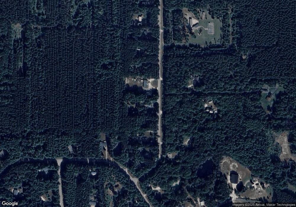
Map
Nearby Homes
- N2089 Shadow Rd
- 0 Crystal Rd Unit 50302177
- N1903 Virginia Dr
- N2071 Mary Jane Cir
- N1983 Evergreen Ln
- E2319 Parfreyville Rd
- 0 High Point Ridge Unit 50308213
- E2041 Meadowlark Ln
- 0 State Road 22 Unit 50271805
- 0 State Road 22 Unit 50271804
- N2559 Pleasant View Ln
- N1074 County Hwy E
- N2455 Wisconsin 22
- E3192 Apple Tree Ln
- E1457 Rural Rd
- E1761 Amy St
- E1655 Grandview Rd
- 600 Royalton St
- 2016 Farm Dr
- E1592 Murray Ln
- N1933 Shadow Rd
- N1907 Shadow Rd
- N1951 Shadow Rd
- N1887 Shadow Rd
- N1862 Shambeau Trace
- N1955 Shadow Rd
- N1874 Shambeau Trace
- N1892 Shadow Rd
- N1878 Shambeau Trace
- N1884 Shadow Rd
- N1940 Shadow Rd
- N1873 Shadow Rd
- N1914 Shadow Rd
- N1971 Shadow Rd
- N1894 Shambeau Trace
- N1844 Shambeau Trace
- N1844 Shambeau Trace
- N1975 Shadow Rd
- N1889 Shambeau Trace
- N1853 Shambeau Trace