N1935 State Road 69 Monroe, WI 53566
Estimated Value: $307,000 - $570,000
--
Bed
--
Bath
--
Sq Ft
1.28
Acres
About This Home
This home is located at N1935 State Road 69, Monroe, WI 53566 and is currently estimated at $433,402. N1935 State Road 69 is a home located in Green County with nearby schools including St. Victor School.
Ownership History
Date
Name
Owned For
Owner Type
Purchase Details
Closed on
Jun 10, 2016
Sold by
Cook David L
Bought by
Waelti Howard L and Howard L Waelti & Sara S Waelti Trust
Current Estimated Value
Home Financials for this Owner
Home Financials are based on the most recent Mortgage that was taken out on this home.
Original Mortgage
$22,700
Outstanding Balance
$18,119
Interest Rate
3.66%
Mortgage Type
Credit Line Revolving
Estimated Equity
$415,283
Create a Home Valuation Report for This Property
The Home Valuation Report is an in-depth analysis detailing your home's value as well as a comparison with similar homes in the area
Home Values in the Area
Average Home Value in this Area
Purchase History
| Date | Buyer | Sale Price | Title Company |
|---|---|---|---|
| Waelti Howard L | $180,000 | None Available |
Source: Public Records
Mortgage History
| Date | Status | Borrower | Loan Amount |
|---|---|---|---|
| Open | Waelti Howard L | $22,700 |
Source: Public Records
Tax History Compared to Growth
Tax History
| Year | Tax Paid | Tax Assessment Tax Assessment Total Assessment is a certain percentage of the fair market value that is determined by local assessors to be the total taxable value of land and additions on the property. | Land | Improvement |
|---|---|---|---|---|
| 2024 | $4,593 | $236,500 | $22,200 | $214,300 |
| 2023 | $4,669 | $236,500 | $22,200 | $214,300 |
| 2022 | $4,572 | $236,500 | $22,200 | $214,300 |
| 2021 | $4,041 | $236,500 | $22,200 | $214,300 |
| 2020 | $4,011 | $236,500 | $22,200 | $214,300 |
| 2019 | $3,968 | $236,500 | $22,200 | $214,300 |
| 2018 | $3,971 | $236,500 | $22,200 | $214,300 |
| 2017 | $3,511 | $186,600 | $15,500 | $171,100 |
| 2016 | $3,617 | $186,600 | $15,500 | $171,100 |
| 2014 | $3,474 | $186,600 | $15,500 | $171,100 |
Source: Public Records
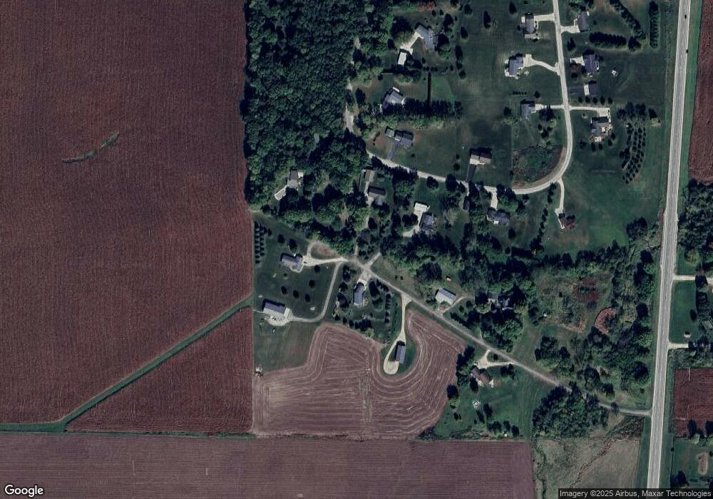
Map
Nearby Homes
- Lot 1 Alphorn Rd
- Lot 35 Briar Ln
- 206 27th St
- 208 27th St
- Lot 33 Briar Ln
- Lot 37 Briar Ln
- lot 32 Briar Ln
- lot 31 Briar Ln
- lot 30 Briar Ln
- Lot 11 Tall Grass Ln
- Lot 21 Tall Grass Ln
- Lot 24 Tall Grass Ln
- Lot 20 Tall Grass Ln
- Lot 18 Tall Grass Ln
- Lot 19 Tall Grass Ln
- Lot 22 Asmus Rd
- Lot 23 Asmus Rd
- N2150 Asmus Rd
- 1128 24th St
- Lot 7 Jeffery Rd
- N1921 Hwy 69
- N1921 State Road 69
- N2045 Alphorn Rd
- N2036 Alphorn Rd
- N1923 State Road 69
- N1933 State Road 69
- N1933 State Road 69
- N2044 Alphorn Rd
- N1905 State Road 69
- N1905 Highway 69
- N2020 Alphorn Rd
- N1992 Alphorn Rd
- N1986 Alphorn Rd
- N1903 State Road 69
- L17 Alphorn Rd
- N1974 Alphorn Rd
- N1960 Alphorn Rd
- N1995 Alphorn Rd
- Lot 13 Alphorn Rd
- Lot #17 Alphorn Rd