N1950 Cemetery Rd Waupaca, WI 54981
Estimated Value: $366,000 - $561,000
2
Beds
2
Baths
2,500
Sq Ft
$173/Sq Ft
Est. Value
About This Home
This home is located at N1950 Cemetery Rd, Waupaca, WI 54981 and is currently estimated at $433,061, approximately $173 per square foot. N1950 Cemetery Rd is a home located in Waupaca County with nearby schools including Waupaca Learning Center Elementary School, Waupaca Middle School, and Waupaca High School.
Ownership History
Date
Name
Owned For
Owner Type
Purchase Details
Closed on
May 5, 2015
Sold by
The Oran J Braatz Living Trust
Bought by
Nelsen Jasper T
Current Estimated Value
Purchase Details
Closed on
Oct 29, 2010
Sold by
Braatz Oran J
Bought by
Braatz Oran J and Oran J Braatz Living Trust
Purchase Details
Closed on
Jun 9, 2010
Sold by
Braatz Marion C and Braatz Oran James
Bought by
Braatz Marion C and Braatz Oran James
Purchase Details
Closed on
Jul 11, 2008
Sold by
Burke Mary E and Felder Mary E
Bought by
Braatz Marion C and Braatz Oran James
Home Financials for this Owner
Home Financials are based on the most recent Mortgage that was taken out on this home.
Original Mortgage
$200,000
Interest Rate
6.36%
Mortgage Type
Future Advance Clause Open End Mortgage
Purchase Details
Closed on
Dec 20, 2005
Sold by
Burke Donald F
Bought by
Burke Mary E
Create a Home Valuation Report for This Property
The Home Valuation Report is an in-depth analysis detailing your home's value as well as a comparison with similar homes in the area
Home Values in the Area
Average Home Value in this Area
Purchase History
| Date | Buyer | Sale Price | Title Company |
|---|---|---|---|
| Nelsen Jasper T | $200,000 | -- | |
| Braatz Oran J | -- | None Available | |
| Braatz Marion C | -- | None Available | |
| Braatz Marion C | $250,000 | None Available | |
| Burke Mary E | -- | None Available |
Source: Public Records
Mortgage History
| Date | Status | Borrower | Loan Amount |
|---|---|---|---|
| Previous Owner | Braatz Marion C | $200,000 |
Source: Public Records
Tax History Compared to Growth
Tax History
| Year | Tax Paid | Tax Assessment Tax Assessment Total Assessment is a certain percentage of the fair market value that is determined by local assessors to be the total taxable value of land and additions on the property. | Land | Improvement |
|---|---|---|---|---|
| 2024 | $3,339 | $310,200 | $88,800 | $221,400 |
| 2023 | $3,339 | $310,200 | $88,800 | $221,400 |
| 2022 | $3,560 | $200,000 | $55,500 | $144,500 |
| 2021 | $3,445 | $200,000 | $55,500 | $144,500 |
| 2020 | $3,240 | $200,000 | $55,500 | $144,500 |
| 2019 | $3,308 | $200,000 | $55,500 | $144,500 |
| 2018 | $3,917 | $200,000 | $55,500 | $144,500 |
| 2017 | $3,849 | $200,000 | $55,500 | $144,500 |
| 2016 | $3,849 | $200,000 | $55,500 | $144,500 |
| 2015 | $3,680 | $200,000 | $55,500 | $144,500 |
| 2014 | $4,149 | $219,300 | $33,500 | $185,800 |
| 2013 | $4,106 | $219,300 | $33,500 | $185,800 |
Source: Public Records
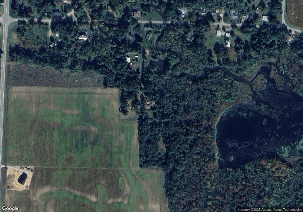
Map
Nearby Homes
- E1457 Rural Rd
- E1400 Stratton Lake Rd
- N2475 E Miner Dr
- N2371 Long Cove Dr
- E1396 Grandview Rd
- E1280 County Road Q Unit 3
- E2041 Meadowlark Ln
- N2645 Pleasant Park Ln
- N2577 Ottman Dr
- 0 State Road 22 Unit 50271805
- 0 State Road 22 Unit 50271804
- N1983 Evergreen Ln
- E1761 Amy St
- E1852 King Rd
- N1705 Virginia Dr
- N2071 Mary Jane Cir
- N1903 Virginia Dr
- E2319 Parfreyville Rd
- E1747 Pine Ridge Ln
- 0 Jensen Rd
- 0 Cemetery Rd Unit 50129121
- 0 Cemetery Rd Unit 50129159
- N1973 Cemetery Rd
- N1988 Cemetery Rd
- E1437 Rural Rd
- N1981 Cemetery Rd
- E1395 Rural Rd
- 1444 Rural Rd
- E1426 Rural Rd
- E1384 Rural Rd
- E1444 Rural Rd
- N2015 Ashmun St
- E1452 Rural Rd
- E1433 Main St
- E1366 Rural Rd
- E1419 Main St
- E1441 Main St
- E1468 Rural Rd
- 24337 Pier Springs Rd
- E1472 Rural Rd