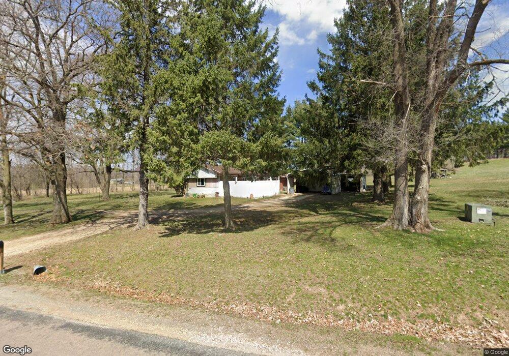
N20506 Us Highway 53 Galesville, WI 54630
Estimated Value: $154,556 - $229,000
--
Bed
--
Bath
--
Sq Ft
1
Acres
About This Home
This home is located at N20506 Us Highway 53, Galesville, WI 54630 and is currently estimated at $178,139. N20506 Us Highway 53 is a home located in Trempealeau County with nearby schools including Galesville-Ettrick-Trempealeau High School and Berean Christian School.
Ownership History
Date
Name
Owned For
Owner Type
Purchase Details
Closed on
Oct 8, 2021
Sold by
Morvant Alvin L and Morvant Connie L
Bought by
Morvant Connie L
Current Estimated Value
Home Financials for this Owner
Home Financials are based on the most recent Mortgage that was taken out on this home.
Original Mortgage
$55,500
Outstanding Balance
$50,391
Interest Rate
2.8%
Mortgage Type
Stand Alone Refi Refinance Of Original Loan
Estimated Equity
$127,748
Purchase Details
Closed on
Oct 23, 2014
Sold by
Hauser Irene C and Kiedrowski Jeffrey B
Bought by
Morvant Alvin L and Morvant Connie L
Home Financials for this Owner
Home Financials are based on the most recent Mortgage that was taken out on this home.
Original Mortgage
$70,000
Interest Rate
4.23%
Mortgage Type
Future Advance Clause Open End Mortgage
Create a Home Valuation Report for This Property
The Home Valuation Report is an in-depth analysis detailing your home's value as well as a comparison with similar homes in the area
Home Values in the Area
Average Home Value in this Area
Purchase History
| Date | Buyer | Sale Price | Title Company |
|---|---|---|---|
| Morvant Connie L | -- | None Available | |
| Morvant Alvin L | $7,000 | None Available |
Source: Public Records
Mortgage History
| Date | Status | Borrower | Loan Amount |
|---|---|---|---|
| Open | Morvant Connie L | $55,500 | |
| Previous Owner | Morvant Alvin L | $70,000 |
Source: Public Records
Tax History Compared to Growth
Tax History
| Year | Tax Paid | Tax Assessment Tax Assessment Total Assessment is a certain percentage of the fair market value that is determined by local assessors to be the total taxable value of land and additions on the property. | Land | Improvement |
|---|---|---|---|---|
| 2024 | $1,237 | $68,600 | $20,000 | $48,600 |
| 2023 | $945 | $68,600 | $20,000 | $48,600 |
| 2022 | $1,032 | $68,600 | $20,000 | $48,600 |
| 2021 | $938 | $68,600 | $20,000 | $48,600 |
| 2020 | $981 | $24,860 | $20,000 | $4,860 |
| 2019 | $1,014 | $68,600 | $20,000 | $48,600 |
| 2018 | $1,272 | $70,800 | $20,000 | $50,800 |
| 2017 | $1,306 | $70,800 | $20,000 | $50,800 |
| 2016 | $1,255 | $70,800 | $20,000 | $50,800 |
| 2015 | $1,149 | $70,800 | $20,000 | $50,800 |
| 2014 | $1,227 | $70,800 | $20,000 | $50,800 |
| 2011 | -- | $70,100 | $20,000 | $50,100 |
Source: Public Records
Map
Nearby Homes
- Lot 12 Cherub Ct
- Lot 11 Cherub Ct
- W20479 Brenegan Ln
- N18078 County Road T
- N23415 Oak Ridge Dr
- N23764 Wayside Ln
- XXX N 4th St
- 20278 Bibby St
- 0 N 4th St
- 20153 Hammer Ave
- 20054 W Mill Rd
- 22732 U S 53
- 16648 S Main St
- N16450 Hilltop Ln
- 0 County Road D Unit 1943225
- 22766 S Main St
- 16771 S 15th St
- 22653 S Main St
- N20545 County Road Dd
- 000 Bluestem Ln
- N21497 Us Highway 53
- N21497 Us Highway 53
- N21622 Us-53
- 0 Sunset Valley Rd Unit LOT 11 1727934
- 0 Sunset Valley Rd
- lot 18 Sunset Valley Rd
- W19355 Jim Johnson Ln
- LOT 15 Sunset Ridge Ln
- 0 Sunset Ridge Ln
- N20609 Us Highway 53
- N20395 Sunset Ridge Ln
- N20543 Sunset Valley Rd
- W19377 Jim Johnson Ln
- W19302 Sunset View Ln
- N20455 Sunset Valley Rd
- LOT 3 Sunset View Ln
- 0 Sunset View Ln Unit LOT 3
- W19446 Jim Johnson Ln
- N20441 Sunset Valley Rd
- 20450 Sunset Valley Rd