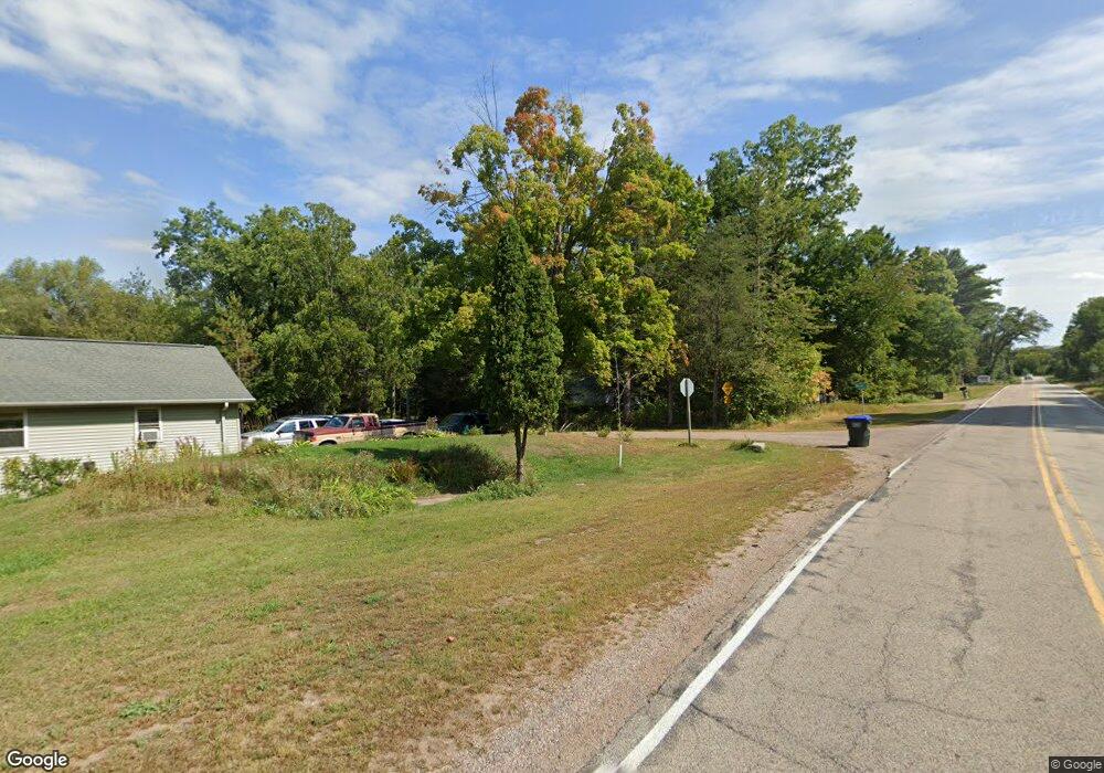
N2068 Waids Rd Waupaca, WI 54981
Estimated Value: $350,000 - $550,000
2
Beds
2
Baths
1,920
Sq Ft
$235/Sq Ft
Est. Value
About This Home
This home is located at N2068 Waids Rd, Waupaca, WI 54981 and is currently estimated at $450,520, approximately $234 per square foot. N2068 Waids Rd is a home located in Waupaca County with nearby schools including Waupaca Learning Center Elementary School, Waupaca Middle School, and Waupaca High School.
Ownership History
Date
Name
Owned For
Owner Type
Purchase Details
Closed on
Aug 1, 2022
Sold by
Herbert Janet R
Bought by
Janet R Herbert Irrevocable Income-Only Trust
Current Estimated Value
Purchase Details
Closed on
Apr 13, 2018
Sold by
Herbert Todd M and Flynn Lrae A
Bought by
Herbert Earl H and Herbert Janet R
Purchase Details
Closed on
Sep 24, 2008
Sold by
Herbert Janet R and Herbert Earl H
Bought by
Herbert Todd M and Flynn Lrae A
Create a Home Valuation Report for This Property
The Home Valuation Report is an in-depth analysis detailing your home's value as well as a comparison with similar homes in the area
Home Values in the Area
Average Home Value in this Area
Purchase History
| Date | Buyer | Sale Price | Title Company |
|---|---|---|---|
| Janet R Herbert Irrevocable Income-Only Trust | -- | None Listed On Document | |
| Herbert Earl H | -- | None Available | |
| Herbert Todd M | -- | None Available |
Source: Public Records
Tax History Compared to Growth
Tax History
| Year | Tax Paid | Tax Assessment Tax Assessment Total Assessment is a certain percentage of the fair market value that is determined by local assessors to be the total taxable value of land and additions on the property. | Land | Improvement |
|---|---|---|---|---|
| 2024 | $4,148 | $384,500 | $102,500 | $282,000 |
| 2023 | $4,148 | $384,500 | $102,500 | $282,000 |
| 2022 | $4,057 | $236,300 | $60,300 | $176,000 |
| 2021 | $3,890 | $236,300 | $60,300 | $176,000 |
| 2020 | $3,706 | $236,300 | $60,300 | $176,000 |
| 2019 | $3,760 | $236,300 | $60,300 | $176,000 |
| 2018 | $4,457 | $236,300 | $60,300 | $176,000 |
| 2017 | $4,561 | $236,300 | $60,300 | $176,000 |
| 2016 | $4,422 | $236,300 | $60,300 | $176,000 |
| 2015 | $4,362 | $236,300 | $60,300 | $176,000 |
| 2014 | $4,406 | $232,700 | $60,300 | $172,400 |
| 2013 | $4,361 | $232,700 | $60,300 | $172,400 |
Source: Public Records
Map
Nearby Homes
- E2041 Meadowlark Ln
- N1983 Evergreen Ln
- N1705 Virginia Dr
- N2071 Mary Jane Cir
- N1903 Virginia Dr
- 0 State Road 22 Unit 50271805
- 0 State Road 22 Unit 50271804
- E2319 Parfreyville Rd
- E1457 Rural Rd
- N2089 Shadow Rd
- 0 Crystal Rd Unit 50302177
- E2086 King Rd
- E1852 King Rd
- E1761 Amy St
- E1400 Stratton Lake Rd
- E1396 Grandview Rd
- N2769 Taylor Ct
- N2475 E Miner Dr
- E1747 Pine Ridge Ln
- 0 Pryse Dr
- N1967 County Road K
- 0 Bailey St Unit 50107728
- 0 Bailey St Unit 50076708
- 0 Oakland Dr Unit 50086466
- 0 Oakland Dr Unit 1801059
- 0 Oakland Dr Unit 50109067
- N2061 Waids Rd
- N1972 County Road K
- E1942 Neuman Rd
- E1939 Neuman Rd
- N1964 County Road K
- N2014 Spencer Lake Rd
- N2048 Smith Rd
- N2012 Spencer Lake Rd
- N1999 County Road K
- E1907 Neuman Rd
- N2003 County Road K
- N2003 County Highway K
- N2006 County Road K
- N2060 Smith Rd