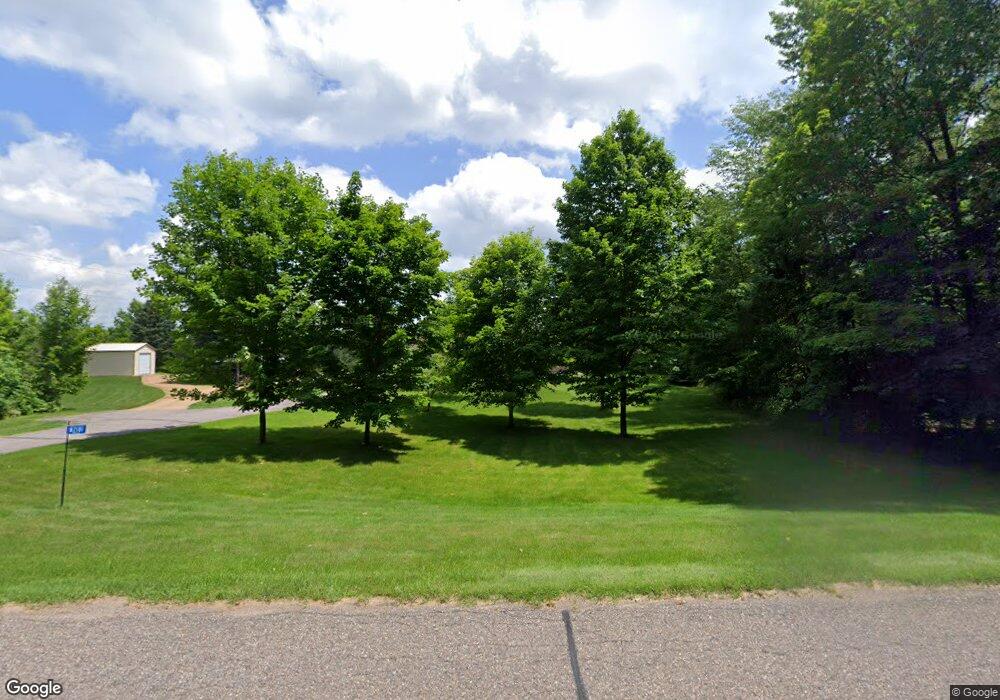
N2181 Maple Rd Antigo, WI 54409
Estimated Value: $271,481 - $394,000
--
Bed
--
Bath
--
Sq Ft
9.88
Acres
About This Home
This home is located at N2181 Maple Rd, Antigo, WI 54409 and is currently estimated at $325,370. N2181 Maple Rd is a home located in Langlade County with nearby schools including Antigo High School.
Create a Home Valuation Report for This Property
The Home Valuation Report is an in-depth analysis detailing your home's value as well as a comparison with similar homes in the area
Home Values in the Area
Average Home Value in this Area
Tax History Compared to Growth
Tax History
| Year | Tax Paid | Tax Assessment Tax Assessment Total Assessment is a certain percentage of the fair market value that is determined by local assessors to be the total taxable value of land and additions on the property. | Land | Improvement |
|---|---|---|---|---|
| 2024 | $2,592 | $201,600 | $34,100 | $167,500 |
| 2023 | $2,227 | $145,700 | $22,500 | $123,200 |
| 2022 | $2,018 | $145,700 | $22,500 | $123,200 |
| 2021 | $2,134 | $145,700 | $22,500 | $123,200 |
| 2020 | $2,196 | $140,300 | $18,900 | $121,400 |
| 2019 | $1,973 | $140,300 | $19,100 | $121,200 |
| 2018 | $2,222 | $140,300 | $19,100 | $121,200 |
| 2017 | $2,063 | $140,300 | $19,100 | $121,200 |
| 2016 | $2,056 | $140,300 | $19,100 | $121,200 |
| 2015 | $2,130 | $140,300 | $19,100 | $121,200 |
| 2014 | $2,123 | $140,300 | $19,100 | $121,200 |
| 2013 | $2,212 | $140,300 | $19,100 | $121,200 |
Source: Public Records
Map
Nearby Homes
- N1622 Cth D
- N696 County Rd S
- N2319 Koszarek Rd
- N10595 U S 45
- ON Emma St Unit 1.6 Acres
- Highway 45
- N2862 Crestwood Rd
- N10595 State Highway 45
- 524 S Superior St
- 434 Freiburger Ave
- 313 10th Ave
- 206 10th Ave
- 223 S Superior St
- 116 Watson St
- 222 S Superior St
- 231 Fischer St
- 225 9th Ave
- 313 Hudson St
- 325 Hudson St
- ON 8th Ave