N2197 385th St Maiden Rock, WI 54750
Estimated Value: $164,824 - $981,000
Studio
--
Bath
--
Sq Ft
43,560
Sq Ft Lot
About This Home
This home is located at N2197 385th St, Maiden Rock, WI 54750 and is currently estimated at $490,608. N2197 385th St is a home located in Pierce County with nearby schools including Ellsworth High School.
Ownership History
Date
Name
Owned For
Owner Type
Purchase Details
Closed on
Sep 20, 2007
Sold by
Anmodt Brenda
Bought by
Waltz Michael L and Waltz Tammy J
Current Estimated Value
Home Financials for this Owner
Home Financials are based on the most recent Mortgage that was taken out on this home.
Original Mortgage
$52,000
Outstanding Balance
$7,356
Interest Rate
6.55%
Mortgage Type
New Conventional
Estimated Equity
$483,252
Create a Home Valuation Report for This Property
The Home Valuation Report is an in-depth analysis detailing your home's value as well as a comparison with similar homes in the area
Purchase History
| Date | Buyer | Sale Price | Title Company |
|---|---|---|---|
| Waltz Michael L | -- | None Available |
Source: Public Records
Mortgage History
| Date | Status | Borrower | Loan Amount |
|---|---|---|---|
| Open | Waltz Michael L | $52,000 |
Source: Public Records
Tax History
| Year | Tax Paid | Tax Assessment Tax Assessment Total Assessment is a certain percentage of the fair market value that is determined by local assessors to be the total taxable value of land and additions on the property. | Land | Improvement |
|---|---|---|---|---|
| 2025 | $1,947 | $128,300 | $35,000 | $93,300 |
| 2024 | $1,934 | $72,600 | $22,100 | $50,500 |
| 2023 | $1,827 | $72,600 | $22,100 | $50,500 |
| 2022 | $1,549 | $72,600 | $22,100 | $50,500 |
| 2021 | $1,520 | $72,600 | $22,100 | $50,500 |
| 2020 | $1,564 | $72,600 | $22,100 | $50,500 |
| 2019 | $1,528 | $71,500 | $22,100 | $49,400 |
| 2018 | $1,497 | $71,500 | $22,100 | $49,400 |
| 2017 | $1,501 | $71,500 | $22,100 | $49,400 |
| 2016 | $1,476 | $71,500 | $22,100 | $49,400 |
| 2015 | $1,369 | $71,500 | $22,100 | $49,400 |
| 2014 | $1,318 | $71,500 | $22,100 | $49,400 |
| 2013 | $1,382 | $71,500 | $22,100 | $49,400 |
Source: Public Records
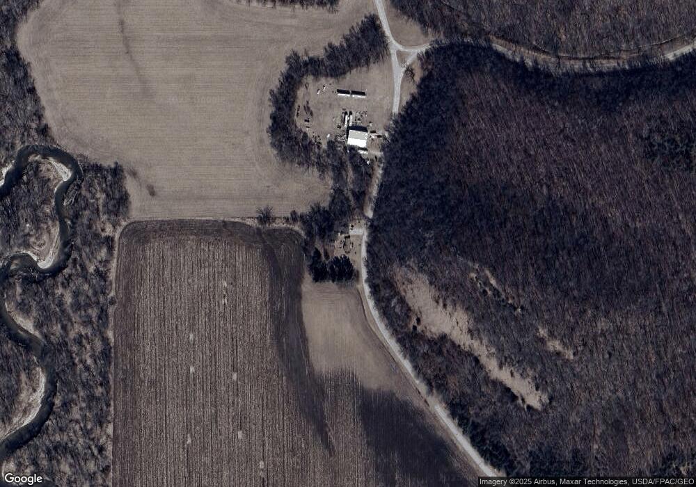
Map
Nearby Homes
- 0000 160th Ave
- W3300 160th Ave
- W3470 State Road 35
- W3410 State Road 35
- N692 300th St
- 0 Xxx 590th St
- XXX 590th
- 0 265th St
- 28571 Lake St
- 28589 Lake Avenue Way
- 0 265th Ave Unit 1958138
- 0 265th Ave
- 13.50 Acres Vietnam War Veterans Memorial Hwy
- 30155 Lakeview Ave
- 28983 320th Avenue Way
- 29923 Lakeview Ave
- 30019 Scandinavia Ave
- 33400 302nd Street Path
- 34489 Airport Ct
- 34402 306th St
- N2227 385th St
- 0 385th St
- XXX 40 Acres 385th St
- 0 Hwy A Unit 4845247
- 0 Hwy A Unit 1509377
- 0 Hwy A Unit 1523918
- N2106 385th St
- 000 40 Acres 385th St
- N2122 County Road A
- n 2122 County Road A
- N390 N390 250th-Street-
- 2025 385th St
- n 2025 385th St
- XXX 35 Acres 385th St
- N2025 385th St
- N2122 Hwy A
- N2298 County Road A
- N2028 385th St
- N2090 County Road A
- W3750 200th Ave
Your Personal Tour Guide
Ask me questions while you tour the home.