N2223 Falk Rd Fort Atkinson, WI 53538
Estimated Value: $474,748 - $627,000
--
Bed
--
Bath
--
Sq Ft
3
Acres
About This Home
This home is located at N2223 Falk Rd, Fort Atkinson, WI 53538 and is currently estimated at $546,937. N2223 Falk Rd is a home located in Jefferson County with nearby schools including Barrie Elementary School, Fort Atkinson Middle School, and Fort Atkinson High School.
Ownership History
Date
Name
Owned For
Owner Type
Purchase Details
Closed on
Dec 23, 2024
Sold by
Behrens Scott J and Behrens Cynthia S
Bought by
Scott Behrens And Cynthia S Behrens Revocable and Behrens
Current Estimated Value
Purchase Details
Closed on
Dec 16, 2008
Sold by
Mckinney Harry J and Mckinney Christine
Bought by
Behrens Scott J and Behrens Cynthia S
Home Financials for this Owner
Home Financials are based on the most recent Mortgage that was taken out on this home.
Original Mortgage
$65,000
Interest Rate
6.3%
Mortgage Type
New Conventional
Create a Home Valuation Report for This Property
The Home Valuation Report is an in-depth analysis detailing your home's value as well as a comparison with similar homes in the area
Home Values in the Area
Average Home Value in this Area
Purchase History
| Date | Buyer | Sale Price | Title Company |
|---|---|---|---|
| Scott Behrens And Cynthia S Behrens Revocable | -- | None Listed On Document | |
| Behrens Scott J | $135,000 | None Available |
Source: Public Records
Mortgage History
| Date | Status | Borrower | Loan Amount |
|---|---|---|---|
| Previous Owner | Behrens Scott J | $65,000 |
Source: Public Records
Tax History Compared to Growth
Tax History
| Year | Tax Paid | Tax Assessment Tax Assessment Total Assessment is a certain percentage of the fair market value that is determined by local assessors to be the total taxable value of land and additions on the property. | Land | Improvement |
|---|---|---|---|---|
| 2024 | $5,459 | $299,600 | $61,000 | $238,600 |
| 2023 | $5,527 | $299,600 | $61,000 | $238,600 |
| 2022 | $5,405 | $299,600 | $61,000 | $238,600 |
| 2021 | $5,028 | $299,600 | $61,000 | $238,600 |
| 2020 | $4,438 | $299,600 | $61,000 | $238,600 |
| 2019 | $4,241 | $229,300 | $51,000 | $178,300 |
| 2018 | $3,935 | $229,300 | $51,000 | $178,300 |
| 2017 | $3,871 | $229,300 | $51,000 | $178,300 |
| 2016 | $4,011 | $229,300 | $51,000 | $178,300 |
| 2015 | $4,045 | $229,300 | $51,000 | $178,300 |
| 2014 | $3,934 | $229,300 | $51,000 | $178,300 |
| 2013 | $4,067 | $229,300 | $51,000 | $178,300 |
Source: Public Records
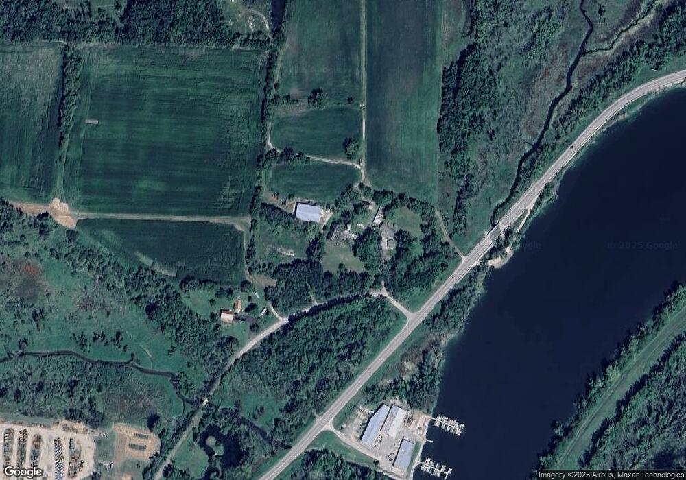
Map
Nearby Homes
- 1233 Sherman Ave W
- 1222 Sherman Ave W Unit P
- 1709 Montclair Place
- 1220 Sherman Ave W
- Lt40 Montclair Place
- 42 Wilson Ave
- 1120 Van Buren St
- 206 Hilltop Trail
- 1612 Commonwealth Dr Unit 3
- 633 Hilltop Trail W
- 611 Talcott Ave
- 916 Madison Ave
- 125 Monroe St
- 336 Jones Ave
- 609 Cloute St
- 715 Madison Ave
- 1268 Jamesway
- 605 Nelson St
- 845 Messmer St
- 505 Robert St
- N2179 Falk Rd
- N2112 Veterans Ln
- N2120 Falk Rd
- N2108 Veterans Ln
- N2098 Veterans Ln
- N2094 Veterans Ln
- N2094 Vets Ln
- N2090 Veterans Ln
- N2080 Veterans Ln
- Unit 6 Mulligan Way
- Unit 2 Mulligan Way
- Unit 1 Mulligan Way
- N2060 Veterans Ln
- N2073 Blackhawk Island Rd
- N2067 Blackhawk Island Rd
- N2040 Blackhawk Island Rd
- W6556 State Road 106
- N2034 Blackhawk Island Rd
- W6847 Old 106
- W6544 Hwy 106