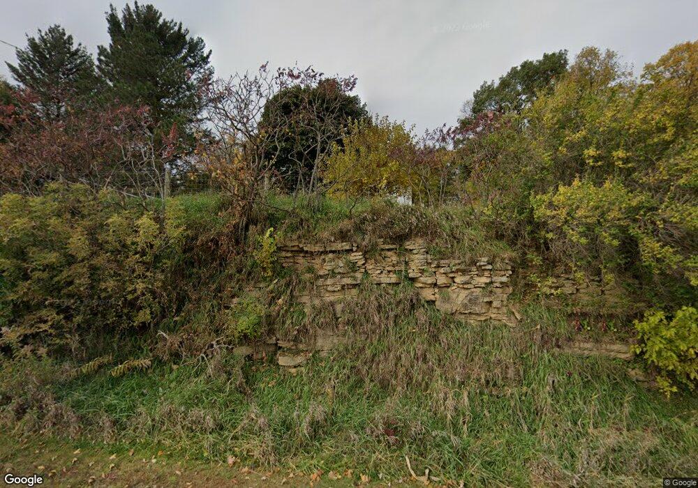
N2239 Dill Rd Browntown, WI 53522
Estimated Value: $249,412 - $488,000
4
Beds
1
Bath
1,900
Sq Ft
$165/Sq Ft
Est. Value
About This Home
This home is located at N2239 Dill Rd, Browntown, WI 53522 and is currently estimated at $313,853, approximately $165 per square foot. N2239 Dill Rd is a home located in Green County with nearby schools including Black Hawk Elementary School, Black Hawk Middle School, and Black Hawk High School.
Ownership History
Date
Name
Owned For
Owner Type
Purchase Details
Closed on
Jul 23, 2009
Sold by
Fulton Frederick A and Fulton Herta I
Bought by
Regez Timothy S and Regez Sharon M
Current Estimated Value
Home Financials for this Owner
Home Financials are based on the most recent Mortgage that was taken out on this home.
Original Mortgage
$122,448
Outstanding Balance
$77,988
Interest Rate
4.92%
Mortgage Type
New Conventional
Estimated Equity
$235,865
Purchase Details
Closed on
Jun 12, 2009
Sold by
Fulton Frederick A and Fulton Herta L
Bought by
Regez Timothy S and Regez Sharon M
Home Financials for this Owner
Home Financials are based on the most recent Mortgage that was taken out on this home.
Original Mortgage
$122,448
Outstanding Balance
$77,988
Interest Rate
4.92%
Mortgage Type
New Conventional
Estimated Equity
$235,865
Create a Home Valuation Report for This Property
The Home Valuation Report is an in-depth analysis detailing your home's value as well as a comparison with similar homes in the area
Home Values in the Area
Average Home Value in this Area
Purchase History
| Date | Buyer | Sale Price | Title Company |
|---|---|---|---|
| Regez Timothy S | -- | None Available | |
| Regez Timothy S | $120,000 | None Available |
Source: Public Records
Mortgage History
| Date | Status | Borrower | Loan Amount |
|---|---|---|---|
| Open | Regez Timothy S | $122,448 |
Source: Public Records
Tax History Compared to Growth
Tax History
| Year | Tax Paid | Tax Assessment Tax Assessment Total Assessment is a certain percentage of the fair market value that is determined by local assessors to be the total taxable value of land and additions on the property. | Land | Improvement |
|---|---|---|---|---|
| 2024 | $2,009 | $111,900 | $18,400 | $93,500 |
| 2023 | $2,033 | $111,900 | $18,400 | $93,500 |
| 2022 | $1,839 | $111,900 | $18,400 | $93,500 |
| 2021 | $1,717 | $111,900 | $18,400 | $93,500 |
| 2020 | $1,860 | $111,900 | $18,400 | $93,500 |
| 2019 | $1,827 | $111,900 | $18,400 | $93,500 |
| 2018 | $1,853 | $111,900 | $18,400 | $93,500 |
| 2017 | $1,866 | $111,900 | $18,400 | $93,500 |
| 2016 | $1,833 | $111,900 | $18,400 | $93,500 |
| 2014 | $2,046 | $111,900 | $18,400 | $93,500 |
Source: Public Records
Map
Nearby Homes
- 139.57 AC County Road M
- 000 County Road M
- 113 S Liberty St
- 7841 W Hwy County M
- 360 S Church St
- TBD E County M
- 000 County Highway M
- 301 S Galena St
- TBD Miller Rd
- N2202 Cadiz Springs Rd
- W8192 Pilz Rd
- W8194 Pilz Rd
- N2090 Allen Rd
- Lot 3 Rd
- 5855 Swanson Rd
- W7880 Wisconsin 11
- 2264 County Road Y
- Lot 2 11 77 Acres Trotter Rd
- Lot 1 11 26 Acres Trotter Rd
- Parcel 3 W County Hwy M
- N2223 Dill Rd
- 60 Ac Wisconsin Trunk Highway 11
- 28 Ac County Road Mm
- N2029 Dill Rd
- W9270 State Road 11
- W9270 State Road 11
- 56.62 Ac Wisconsin Trunk Highway 11
- 1137 State Road 11
- W9326 County Road Mm
- N1941 Dill Rd
- N1948 Dill Rd
- 139.57AC County Road M
- N1944 Dill Rd
- W9242 County Road Mm
- 1275 State Road 11
- 1293 State Road 11
- 1295 State Road 11
- 6992 County Mm
- 6992 County Road M
- 6992 County Road M
