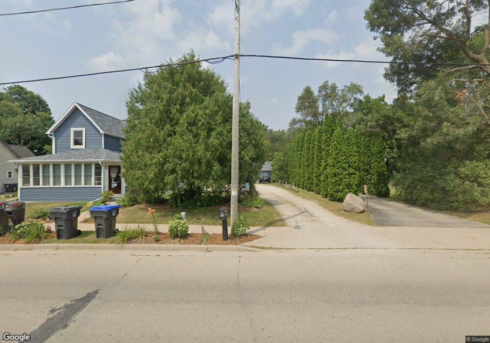
N2257 W Main St Weyauwega, WI 54983
Estimated Value: $153,000 - $187,431
2
Beds
1
Bath
1,414
Sq Ft
$124/Sq Ft
Est. Value
About This Home
This home is located at N2257 W Main St, Weyauwega, WI 54983 and is currently estimated at $175,108, approximately $123 per square foot. N2257 W Main St is a home located in Waupaca County with nearby schools including Weyauwega Elementary School, Weyauwega Middle School, and Weyauwega High School.
Ownership History
Date
Name
Owned For
Owner Type
Purchase Details
Closed on
Jul 2, 2015
Sold by
Mosser Carmelita C
Bought by
Wall Rickey A and Wall Brooke R
Current Estimated Value
Home Financials for this Owner
Home Financials are based on the most recent Mortgage that was taken out on this home.
Original Mortgage
$87,244
Outstanding Balance
$68,476
Interest Rate
4.05%
Mortgage Type
New Conventional
Estimated Equity
$106,632
Create a Home Valuation Report for This Property
The Home Valuation Report is an in-depth analysis detailing your home's value as well as a comparison with similar homes in the area
Home Values in the Area
Average Home Value in this Area
Purchase History
| Date | Buyer | Sale Price | Title Company |
|---|---|---|---|
| Wall Rickey A | $82,000 | None Available |
Source: Public Records
Mortgage History
| Date | Status | Borrower | Loan Amount |
|---|---|---|---|
| Open | Wall Rickey A | $87,244 |
Source: Public Records
Tax History Compared to Growth
Tax History
| Year | Tax Paid | Tax Assessment Tax Assessment Total Assessment is a certain percentage of the fair market value that is determined by local assessors to be the total taxable value of land and additions on the property. | Land | Improvement |
|---|---|---|---|---|
| 2024 | $1,630 | $94,900 | $25,700 | $69,200 |
| 2023 | $1,939 | $94,900 | $25,700 | $69,200 |
| 2022 | $1,566 | $94,900 | $25,700 | $69,200 |
| 2021 | $1,577 | $94,900 | $25,700 | $69,200 |
| 2020 | $1,692 | $94,900 | $25,700 | $69,200 |
| 2019 | $1,691 | $94,900 | $25,700 | $69,200 |
| 2018 | $1,839 | $94,000 | $25,700 | $68,300 |
| 2017 | $1,647 | $94,000 | $25,700 | $68,300 |
| 2016 | $1,647 | $94,000 | $25,700 | $68,300 |
| 2015 | $1,678 | $94,000 | $25,700 | $68,300 |
| 2014 | $1,680 | $94,000 | $25,700 | $68,300 |
| 2013 | $1,773 | $94,000 | $25,700 | $68,300 |
Source: Public Records
Map
Nearby Homes
- 0 Wisconsin 49
- 103 W Main St
- 201 2nd Ave
- 0 Hillside Dr Unit 50308768
- 0 Hillside Dr Unit 50311949
- 1009 Mill Pond Cir
- 1019 Mill Pond Cir
- 5599 County Road Aa
- 0 Koplien Rd Unit 50309317
- 0 Guth Rd Unit 50315739
- E4347 E Gate Dr
- E5975 Sunset Ct
- 0 Runway Dr Unit 50291193
- 0 Runway Dr Unit 50256086
- 0 Runway Dr Unit 50179248
- 0 Commercial Dr Unit 50291246
- 0 Commercial Dr Unit 50312972
- 0 Commercial Dr Unit 50291198
- 0 Commercial Dr Unit 50312984
- 2333 Runway Dr
- N2257 W Main St
- N2253 W Main St
- 0 Lake Shore Ct
- 531 Lakeshore Ct
- 0 Lakeshore Ct Unit 50273904
- 0 Lakeshore Ct
- 533 Lakeshore Ct
- 561 Lakeshore Ct
- 552 Lakeshore Ct
- 418 W Main St
- 551 Lakeshore Ct
- E5678 Lakeshore Dr
- 422 W Main St
- 408 W Main St
- 571 Lakeshore Ct
- E5694 Lakeshore Dr
- 420 W Main St
- E5682 Lakeshore Dr
- 424 W Main St
- E5670 Lakeshore Dr