N2295 Butternut Rd Waupaca, WI 54981
Estimated Value: $600,000 - $705,490
2
Beds
2
Baths
1,800
Sq Ft
$374/Sq Ft
Est. Value
About This Home
This home is located at N2295 Butternut Rd, Waupaca, WI 54981 and is currently estimated at $673,623, approximately $374 per square foot. N2295 Butternut Rd is a home located in Waupaca County with nearby schools including Waupaca Learning Center Elementary School, Waupaca Middle School, and Waupaca High School.
Ownership History
Date
Name
Owned For
Owner Type
Purchase Details
Closed on
Apr 27, 2017
Sold by
Larue Thomas L and Larue Barbara J
Bought by
Fonti Vincent W and Fonti Kay L
Current Estimated Value
Home Financials for this Owner
Home Financials are based on the most recent Mortgage that was taken out on this home.
Original Mortgage
$300,000
Outstanding Balance
$157,259
Interest Rate
4.3%
Mortgage Type
Commercial
Estimated Equity
$516,364
Purchase Details
Closed on
Jan 8, 2014
Sold by
Larue Thomas L and Larue Barbara J
Bought by
Coppersmith Lloyd E and Coppersmith Diane J
Create a Home Valuation Report for This Property
The Home Valuation Report is an in-depth analysis detailing your home's value as well as a comparison with similar homes in the area
Home Values in the Area
Average Home Value in this Area
Purchase History
| Date | Buyer | Sale Price | Title Company |
|---|---|---|---|
| Fonti Vincent W | $375,000 | None Available | |
| Coppersmith Lloyd E | -- | None Available |
Source: Public Records
Mortgage History
| Date | Status | Borrower | Loan Amount |
|---|---|---|---|
| Open | Fonti Vincent W | $300,000 |
Source: Public Records
Tax History Compared to Growth
Tax History
| Year | Tax Paid | Tax Assessment Tax Assessment Total Assessment is a certain percentage of the fair market value that is determined by local assessors to be the total taxable value of land and additions on the property. | Land | Improvement |
|---|---|---|---|---|
| 2024 | $7,574 | $677,500 | $510,000 | $167,500 |
| 2023 | $7,574 | $677,500 | $510,000 | $167,500 |
| 2022 | $6,821 | $368,000 | $255,000 | $113,000 |
| 2021 | $6,601 | $368,000 | $255,000 | $113,000 |
| 2020 | $6,216 | $368,000 | $255,000 | $113,000 |
| 2019 | $6,348 | $368,000 | $255,000 | $113,000 |
| 2018 | $7,505 | $368,000 | $255,000 | $113,000 |
| 2017 | $7,375 | $368,000 | $255,000 | $113,000 |
| 2016 | $7,375 | $368,000 | $255,000 | $113,000 |
| 2015 | $7,063 | $368,000 | $255,000 | $113,000 |
| 2014 | $6,948 | $353,600 | $240,000 | $113,600 |
| 2013 | $6,868 | $353,600 | $240,000 | $113,600 |
Source: Public Records
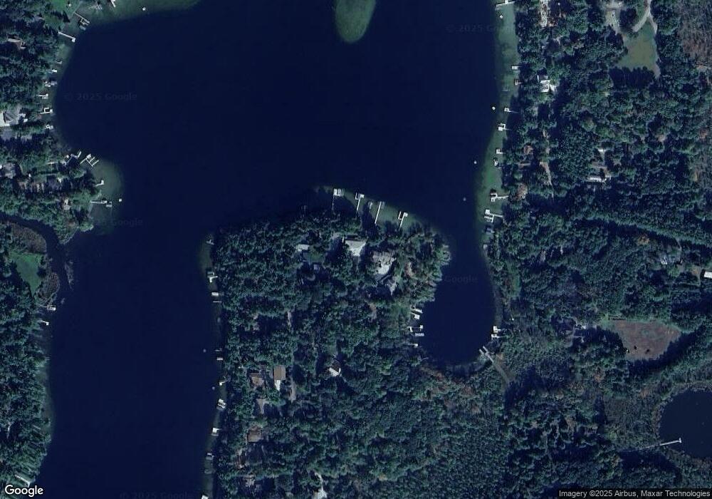
Map
Nearby Homes
- N2371 Long Cove Dr
- N2577 Ottman Dr
- N2475 E Miner Dr
- N2645 Pleasant Park Ln
- E1280 County Road Q Unit 3
- E1396 Grandview Rd
- E1457 Rural Rd
- E1400 Stratton Lake Rd
- E1761 Amy St
- N3012 Hicks Ln
- N3032 Hicks Ln
- E1747 Pine Ridge Ln
- E1852 King Rd
- E2041 Meadowlark Ln
- 0 State Road 22 Unit 50271805
- 0 State Road 22 Unit 50271804
- 2001 State Rd 54
- E2086 King Rd
- 1500 Foxfire Ct
- 1547 Foxfire Ct
- N2293 Butternut Rd
- N2289 Butternut Rd
- N2297 Butternut Rd
- 0 Butternut Rd Unit 50171873
- N2285 Butternut Rd
- N2301 Butternut Rd
- N2305 Butternut Rd
- N2309 Butternut Rd
- N2279 Butternut Rd
- N2315 Butternut Rd
- N2277 Butternut Rd
- N2273 Butternut Rd
- N2316 Butternut Rd
- N2271 Butternut Rd
- N2267 Butternut Rd
- N2259 Butternut Rd
- N2301 Long Cove Dr
- N2305 Long Cove Dr
- N2311 Long Cove Dr
- N2253 Butternut Rd