N2353 Airport Rd Waupaca, WI 54981
Estimated Value: $157,000 - $525,000
3
Beds
--
Bath
1,164
Sq Ft
$223/Sq Ft
Est. Value
About This Home
This home is located at N2353 Airport Rd, Waupaca, WI 54981 and is currently estimated at $259,640, approximately $223 per square foot. N2353 Airport Rd is a home located in Waupaca County with nearby schools including Waupaca Learning Center Elementary School, Waupaca Middle School, and Waupaca High School.
Ownership History
Date
Name
Owned For
Owner Type
Purchase Details
Closed on
May 23, 2024
Sold by
Johnson Judith A
Bought by
Judith A Johnson Revocable Trust
Current Estimated Value
Purchase Details
Closed on
Oct 14, 2021
Sold by
Wiebe Elizabeth J and Estate Of Leroy W Johnson
Bought by
Wiebe Elizabeth J and Johnson Bradley W
Purchase Details
Closed on
Oct 15, 2020
Sold by
Holbrook Pamela J and Moericke William F
Bought by
The Jean A Johnson Living Trust
Purchase Details
Closed on
Oct 13, 2020
Sold by
Wiebe Elizabeth J and Estate Of Elroy W Johnson
Bought by
Johnson Jean A
Purchase Details
Closed on
Aug 28, 2017
Sold by
Furman Jennifer L
Bought by
Furman Jennifer L
Purchase Details
Closed on
Nov 30, 2015
Sold by
Johnson Theodore J
Bought by
Johnson Theodore J and Theodore J Johnson Irrevocable Income On
Purchase Details
Closed on
Mar 25, 2009
Sold by
Johnson Alta E
Bought by
Johnson Theodore J and Johnson Leroy W
Create a Home Valuation Report for This Property
The Home Valuation Report is an in-depth analysis detailing your home's value as well as a comparison with similar homes in the area
Home Values in the Area
Average Home Value in this Area
Purchase History
| Date | Buyer | Sale Price | Title Company |
|---|---|---|---|
| Judith A Johnson Revocable Trust | -- | None Listed On Document | |
| Johnson Judith A | -- | None Listed On Document | |
| Wiebe Elizabeth J | -- | None Available | |
| The Jean A Johnson Living Trust | -- | None Available | |
| Johnson Jean A | -- | None Available | |
| Furman Jennifer L | -- | None Available | |
| Johnson Theodore J | -- | None Available | |
| Johnson Theodore J | -- | None Available |
Source: Public Records
Tax History Compared to Growth
Tax History
| Year | Tax Paid | Tax Assessment Tax Assessment Total Assessment is a certain percentage of the fair market value that is determined by local assessors to be the total taxable value of land and additions on the property. | Land | Improvement |
|---|---|---|---|---|
| 2024 | $658 | $63,000 | $14,100 | $48,900 |
| 2023 | $658 | $48,700 | $11,300 | $37,400 |
| 2022 | $659 | $48,600 | $11,200 | $37,400 |
| 2021 | $732 | $48,500 | $11,100 | $37,400 |
| 2020 | $727 | $48,400 | $11,000 | $37,400 |
| 2019 | $811 | $47,600 | $10,100 | $37,500 |
| 2018 | $933 | $47,600 | $10,100 | $37,500 |
| 2017 | $876 | $47,500 | $10,000 | $37,500 |
| 2016 | $876 | $47,500 | $10,000 | $37,500 |
| 2015 | $883 | $47,500 | $10,000 | $37,500 |
| 2014 | $888 | $47,500 | $10,000 | $37,500 |
| 2013 | $902 | $47,500 | $10,000 | $37,500 |
Source: Public Records
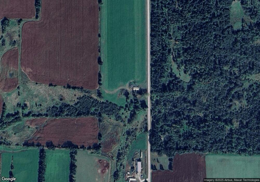
Map
Nearby Homes
- 0 Runway Dr Unit 50291193
- 0 Runway Dr Unit 50256086
- 0 Runway Dr Unit 50179248
- E4347 E Gate Dr
- 2333 Runway Dr
- 0 Commercial Dr Unit 50291246
- 0 Commercial Dr Unit 50312972
- 0 Commercial Dr Unit 50291198
- 0 Commercial Dr Unit 50312984
- 1545 Webster Way
- 0 State Road 22-54 Unit 50291195
- 0 State Road 22-54 Unit 50291197
- 2016 Farm Dr
- 1926 Huffcutt Ln
- 1927 Huffcutt Ln
- 0 Handrich Rd
- E3192 Apple Tree Ln
- 0 High Point Ridge Unit 50308213
- N2559 Pleasant View Ln
- 0 State Highway 22 54
- N2275 Airport Rd
- N2460 Airport Rd
- e 4217 E Gate Dr
- E4045 E Gate Dr
- E4217 E Gate Dr
- N818 N818 Hwy E
- N818 Hwy E
- N2197 Airport Rd
- E4120 Runway Dr
- 2501 Runway Dr
- E4259 E Gate Dr
- E4259 E Gate Dr
- 0 Runway Dr Unit 50016687
- 0 Runway Dr Unit 50272069
- 0 Runway Dr Unit 50249358
- 0 Runway Dr Unit 20804662
- 0 Runway Dr Unit 20804661
- 0 Runway Dr Unit 20901536
- 0 Runway Dr Unit 50003981
- 0 Runway Dr Unit 50003980