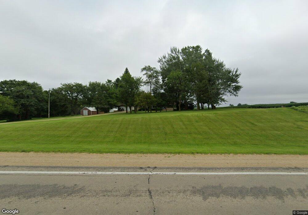
N244 State Road 69 Monroe, WI 53566
--
Bed
--
Bath
--
Sq Ft
290,545
Sq Ft Lot
About This Home
This home is located at N244 State Road 69, Monroe, WI 53566. N244 State Road 69 is a home located in Green County.
Create a Home Valuation Report for This Property
The Home Valuation Report is an in-depth analysis detailing your home's value as well as a comparison with similar homes in the area
Tax History
| Year | Tax Paid | Tax Assessment Tax Assessment Total Assessment is a certain percentage of the fair market value that is determined by local assessors to be the total taxable value of land and additions on the property. | Land | Improvement |
|---|---|---|---|---|
| 2024 | $5,055 | $248,600 | $42,300 | $206,300 |
| 2023 | $5,216 | $248,600 | $42,300 | $206,300 |
| 2022 | $5,081 | $248,600 | $42,300 | $206,300 |
| 2021 | $4,506 | $248,600 | $42,300 | $206,300 |
| 2020 | $4,397 | $248,600 | $42,300 | $206,300 |
| 2019 | $4,379 | $248,600 | $42,300 | $206,300 |
| 2018 | $4,366 | $248,600 | $42,300 | $206,300 |
| 2017 | $4,061 | $207,300 | $27,100 | $180,200 |
| 2016 | $4,191 | $207,300 | $27,100 | $180,200 |
| 2014 | $3,880 | $207,300 | $27,100 | $180,200 |
Source: Public Records
Map
Nearby Homes
- 201 S Church St
- TBD Illinois Route 26
- Lot 1 Alphorn Rd
- Lot 35 Briar Ln
- Lot 37 Briar Ln
- Lot 33 Briar Ln
- lot 32 Briar Ln
- Lot 11 Tall Grass Ln
- lot 31 Briar Ln
- lot 30 Briar Ln
- W4188 Theiler Rd
- Lot 24 Tall Grass Ln
- Lot 21 Tall Grass Ln
- Lot 18 Tall Grass Ln
- Lot 19 Tall Grass Ln
- Lot 20 Tall Grass Ln
- Lot 7 Jeffery Rd
- Lot 1 Jeffery Rd
- lot 5 Jeffery Rd
- Lot 9 Jeffery Rd
- N290 Thorp Rd
- N298 Thorp Rd
- N296 Thorp Rd
- N306 Thorp Rd
- N306 Thorp Rd
- N375 Hwy 69
- N369 Dinges Rd
- 2395 W State Line Rd
- N381 Dinges Rd
- N385 Dinges Rd
- N391 Dinges Rd
- N415 Dinges Rd
- 13838 Il Route 26 N
- N233 Clarno Rd
- N482 Dinges Rd
- 14.59 Ac County Road P
- 14.59 Acre County Rd P
- W6069 County Road P
- 13609 Il Route 26 N
- N287 Clarno Rd
Your Personal Tour Guide
Ask me questions while you tour the home.