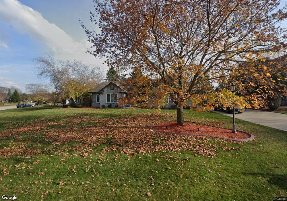
N25W26433 Fox Den Ct Pewaukee, WI 53072
Estimated Value: $591,000 - $700,000
--
Bed
--
Bath
--
Sq Ft
0.42
Acres
About This Home
This home is located at N25W26433 Fox Den Ct, Pewaukee, WI 53072 and is currently estimated at $646,107. N25W26433 Fox Den Ct is a home located in Waukesha County with nearby schools including Pewaukee Lake Elementary School, Asa Clark Middle School, and Pewaukee High School.
Ownership History
Date
Name
Owned For
Owner Type
Purchase Details
Closed on
Aug 29, 2024
Sold by
Gray Laurie A and Schroeder Perry A
Bought by
Imaheartman Llc
Current Estimated Value
Purchase Details
Closed on
Jul 25, 2008
Sold by
Welch Philip A and Welch Patricia J
Bought by
Schroeder Perry A and Gray Laurie A
Home Financials for this Owner
Home Financials are based on the most recent Mortgage that was taken out on this home.
Original Mortgage
$337,500
Interest Rate
6.66%
Mortgage Type
Purchase Money Mortgage
Purchase Details
Closed on
Aug 16, 1996
Sold by
Woodside Homes Inc
Bought by
Welch Philip A and Welch Patricia J
Home Financials for this Owner
Home Financials are based on the most recent Mortgage that was taken out on this home.
Original Mortgage
$187,200
Interest Rate
7.75%
Mortgage Type
Purchase Money Mortgage
Create a Home Valuation Report for This Property
The Home Valuation Report is an in-depth analysis detailing your home's value as well as a comparison with similar homes in the area
Home Values in the Area
Average Home Value in this Area
Purchase History
| Date | Buyer | Sale Price | Title Company |
|---|---|---|---|
| Imaheartman Llc | $570,000 | Frontier Title | |
| Schroeder Perry A | $375,000 | Pts | |
| Welch Philip A | $234,000 | -- |
Source: Public Records
Mortgage History
| Date | Status | Borrower | Loan Amount |
|---|---|---|---|
| Previous Owner | Schroeder Perry A | $337,500 | |
| Previous Owner | Welch Philip A | $187,200 |
Source: Public Records
Tax History Compared to Growth
Tax History
| Year | Tax Paid | Tax Assessment Tax Assessment Total Assessment is a certain percentage of the fair market value that is determined by local assessors to be the total taxable value of land and additions on the property. | Land | Improvement |
|---|---|---|---|---|
| 2024 | $5,090 | $428,100 | $159,400 | $268,700 |
| 2023 | $5,211 | $428,100 | $159,400 | $268,700 |
| 2022 | $5,363 | $428,100 | $159,400 | $268,700 |
| 2021 | $5,330 | $428,100 | $159,400 | $268,700 |
| 2020 | $5,163 | $351,500 | $128,700 | $222,800 |
| 2019 | $5,026 | $351,500 | $128,700 | $222,800 |
| 2018 | $5,117 | $351,500 | $128,700 | $222,800 |
| 2017 | $5,100 | $351,500 | $128,700 | $222,800 |
| 2016 | $5,290 | $351,500 | $128,700 | $222,800 |
| 2015 | $5,364 | $351,500 | $128,700 | $222,800 |
| 2014 | $5,547 | $351,500 | $128,700 | $222,800 |
| 2013 | $5,547 | $351,500 | $128,700 | $222,800 |
Source: Public Records
Map
Nearby Homes
- N26W26388 Quail Hollow Rd Unit A
- W265N2666 Meadowbrook Rd
- W263N2345 Deer Haven Dr
- W269N2762 Lelah Ave
- N28W26972 Woodland Dr
- N19W26672 Milkweed Ln Unit A
- W271N2631 Orchard Ln
- N27W27152 Woodland Dr
- N16W26549 Wild Oats Dr Unit 25-C
- N16W26549 Tall Reeds Ln Unit A
- N16W26573 Tall Reeds Ln Unit A
- N16W26583 Wild Oats Dr Unit C
- N16W26571 Tall Reeds Ln Unit B
- N16W26539 Tall Reeds Ln Unit D
- N15W26518 Tall Reeds Ln Unit C
- N28W25158 Parkway Ridge Cir Unit B
- Ashford Plan at Woodleaf Reserve
- Weston Plan at Woodleaf Reserve
- Bayfield Plan at Woodleaf Reserve
- Geneva Plan at Woodleaf Reserve
- N25W26411 Foxcroft Dr
- N25W26445 Fox Den Ct
- N25W26426 Foxcroft Dr
- N25W26378 Whitetail Ct
- N25W26391 Foxcroft Dr
- N25W26481 Whitetail Ct
- N25W26418 Foxcroft Dr
- N25W26456 Fox Den Ct
- N25W26480 Foxcroft Dr
- N25W26386 Foxcroft Dr
- N25W26362 Whitetail Ct
- N25W26477 Fox Den Ct
- N25W26469 Fox Den Ct
- N25W26461 Fox Den Ct
- N25W26466 Bucks Island Ct
- N25W26367 Foxcroft Dr
- N25W26490 Bucks Island Ct
- N25W26473 Whitetail Ct
- N26W26431 Quail Hollow Rd
- N26W26419 Quail Hollow Rd