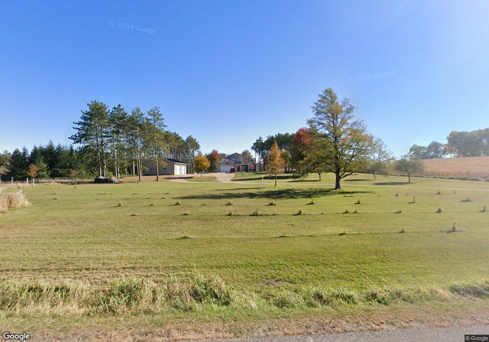
N2602 Landing Rd Weyauwega, WI 54983
Estimated Value: $385,000 - $492,975
3
Beds
--
Bath
1,752
Sq Ft
$254/Sq Ft
Est. Value
About This Home
This home is located at N2602 Landing Rd, Weyauwega, WI 54983 and is currently estimated at $445,658, approximately $254 per square foot. N2602 Landing Rd is a home located in Waupaca County with nearby schools including Weyauwega Elementary School, Weyauwega Middle School, and Weyauwega High School.
Ownership History
Date
Name
Owned For
Owner Type
Purchase Details
Closed on
Jul 28, 2014
Sold by
Stelzner Daniel B
Bought by
Stelzner Daniel B
Current Estimated Value
Home Financials for this Owner
Home Financials are based on the most recent Mortgage that was taken out on this home.
Original Mortgage
$228,000
Outstanding Balance
$174,109
Interest Rate
4.15%
Mortgage Type
New Conventional
Estimated Equity
$271,549
Create a Home Valuation Report for This Property
The Home Valuation Report is an in-depth analysis detailing your home's value as well as a comparison with similar homes in the area
Home Values in the Area
Average Home Value in this Area
Purchase History
| Date | Buyer | Sale Price | Title Company |
|---|---|---|---|
| Stelzner Daniel B | $228,000 | None Available |
Source: Public Records
Mortgage History
| Date | Status | Borrower | Loan Amount |
|---|---|---|---|
| Open | Stelzner Daniel B | $228,000 |
Source: Public Records
Tax History Compared to Growth
Tax History
| Year | Tax Paid | Tax Assessment Tax Assessment Total Assessment is a certain percentage of the fair market value that is determined by local assessors to be the total taxable value of land and additions on the property. | Land | Improvement |
|---|---|---|---|---|
| 2024 | $5,020 | $413,300 | $42,000 | $371,300 |
| 2023 | $5,020 | $226,200 | $19,300 | $206,900 |
| 2022 | $3,937 | $204,600 | $19,300 | $185,300 |
| 2021 | $3,829 | $204,600 | $19,300 | $185,300 |
| 2020 | $3,785 | $204,600 | $19,300 | $185,300 |
| 2019 | $3,608 | $204,600 | $19,300 | $185,300 |
| 2018 | $3,929 | $204,600 | $19,300 | $185,300 |
| 2017 | $3,156 | $204,600 | $19,300 | $185,300 |
| 2016 | $3,059 | $204,600 | $19,300 | $185,300 |
| 2015 | $3,143 | $204,600 | $19,300 | $185,300 |
| 2014 | $3,196 | $204,600 | $19,300 | $185,300 |
| 2013 | $3,387 | $204,600 | $19,300 | $185,300 |
Source: Public Records
Map
Nearby Homes
- N2837 Ona Pines Rd
- N2833 Ona Pines Rd
- N2719 Ona Pines Rd
- 0 Guth Rd Unit 50315739
- 0 Koplien Rd Unit 50309317
- N3280 Little Chicago Ln
- N3445 Behnke Rd
- 217 E Main St
- 110 W Sumner St
- 201 2nd Ave
- E7950 Weiland Rd
- 103 W Main St
- 111 W Parker St
- 0 Hillside Dr Unit 50311949
- 0 Hillside Dr Unit 50308768
- 711 S Mary St
- 0 Wisconsin 49
- 1009 Mill Pond Cir
- 1019 Mill Pond Cir
- 1003 Mill Pond Cir
- N2644 Landing Rd
- N2684 Landing Rd
- E6945 Slough Rd
- N2740 Landing Rd
- E6911 Slough Rd
- E6971 Slough Rd
- E6774 Slough Rd
- N2810 Landing Rd
- N2807 Landing Rd
- 0 Slough Rd Unit 50043765
- 0 Guth Rd Unit 50092652
- 0 Guth Rd Unit 20801852
- 0 Guth Rd Unit 20803561
- 0 Guth Rd Unit 20803802
- 0 Guth Rd Unit 20900791
- 0 Guth Rd Unit 20901428
- 0 Guth Rd Unit 20904016
- 0 Guth Rd Unit 20904015
- 0 Guth Rd Unit 20907779
- 0 Guth Rd Unit 20907781