N2655 Woodland Cir Waupaca, WI 54981
Estimated Value: $237,000 - $251,200
--
Bed
--
Bath
--
Sq Ft
0.68
Acres
About This Home
This home is located at N2655 Woodland Cir, Waupaca, WI 54981 and is currently estimated at $245,050. N2655 Woodland Cir is a home located in Waupaca County with nearby schools including Waupaca Learning Center Elementary School, Waupaca Middle School, and Waupaca High School.
Ownership History
Date
Name
Owned For
Owner Type
Purchase Details
Closed on
Sep 15, 2005
Sold by
Eiler Arpad and Eiler Susan
Bought by
Noffke Real Estate Inc
Current Estimated Value
Home Financials for this Owner
Home Financials are based on the most recent Mortgage that was taken out on this home.
Original Mortgage
$800,000
Outstanding Balance
$430,152
Interest Rate
5.93%
Mortgage Type
Future Advance Clause Open End Mortgage
Estimated Equity
-$185,102
Create a Home Valuation Report for This Property
The Home Valuation Report is an in-depth analysis detailing your home's value as well as a comparison with similar homes in the area
Home Values in the Area
Average Home Value in this Area
Purchase History
| Date | Buyer | Sale Price | Title Company |
|---|---|---|---|
| Noffke Real Estate Inc | -- | None Available |
Source: Public Records
Mortgage History
| Date | Status | Borrower | Loan Amount |
|---|---|---|---|
| Open | Noffke Real Estate Inc | $800,000 |
Source: Public Records
Tax History Compared to Growth
Tax History
| Year | Tax Paid | Tax Assessment Tax Assessment Total Assessment is a certain percentage of the fair market value that is determined by local assessors to be the total taxable value of land and additions on the property. | Land | Improvement |
|---|---|---|---|---|
| 2024 | $2,272 | $140,500 | $28,500 | $112,000 |
| 2023 | $2,272 | $140,500 | $28,500 | $112,000 |
| 2022 | $1,740 | $140,500 | $28,500 | $112,000 |
| 2021 | $1,849 | $110,800 | $12,500 | $98,300 |
| 2020 | $1,829 | $110,800 | $12,500 | $98,300 |
| 2019 | $1,837 | $110,800 | $12,500 | $98,300 |
| 2018 | $2,011 | $110,800 | $12,500 | $98,300 |
| 2017 | $1,979 | $110,800 | $12,500 | $98,300 |
| 2016 | $1,979 | $110,800 | $12,500 | $98,300 |
| 2015 | $1,942 | $110,800 | $12,500 | $98,300 |
| 2014 | $1,928 | $110,800 | $12,500 | $98,300 |
| 2013 | $1,944 | $110,800 | $12,500 | $98,300 |
Source: Public Records
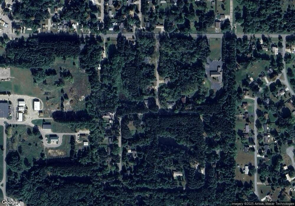
Map
Nearby Homes
- E1852 King Rd
- E1761 Amy St
- E1747 Pine Ridge Ln
- E2086 King Rd
- 0 State Road 22 Unit 50271805
- 0 State Road 22 Unit 50271804
- 1500 Foxfire Ct
- 1547 Foxfire Ct
- E2041 Meadowlark Ln
- 0 Pryse Dr
- 2001 State Rd 54
- E1396 Grandview Rd
- N3012 Hicks Ln
- N3032 Hicks Ln
- E2319 Parfreyville Rd
- N2769 Taylor Ct
- N3054 County Road Qq
- N2475 E Miner Dr
- E1280 County Road Q Unit 3
- N2645 Pleasant Park Ln
- N2671 Woodland Dr
- N2507 Woodland Cir
- N2652 Woodland Cir
- N2674 Woodland Dr
- N2636 Woodland Cir
- N2641 Woodland Cir
- N2689 Woodland Dr
- N2515 Woodland Cir
- N2635 Woodland Cir
- N2620 Woodland Cir
- N2631 Woodland Cir
- E1813 King Rd
- E1833 King Rd
- N2621 Woodland Cir
- N2617 Woodland Cir
- N2608 Woodland Cir
- N2580 Woodland Cir
- N2523 Woodland Cir
- E1832 King Rd
- N2574 Woodland Cir