N2712 Sophia Ln La Crosse, WI 54601
Estimated Value: $642,000 - $780,484
--
Bed
--
Bath
--
Sq Ft
6.11
Acres
About This Home
This home is located at N2712 Sophia Ln, La Crosse, WI 54601 and is currently estimated at $711,242. N2712 Sophia Ln is a home located in La Crosse County with nearby schools including West Salem Elementary School, West Salem Middle School, and West Salem High School.
Ownership History
Date
Name
Owned For
Owner Type
Purchase Details
Closed on
Jun 25, 2008
Sold by
Maas Anthony A and Maas Mary A
Bought by
Riemer Joseph E and Riemer Shelly M
Current Estimated Value
Purchase Details
Closed on
Feb 28, 2007
Sold by
Thompson Gregory P and Thompson Linda A
Bought by
Maas Anthony A and Maas Mary A
Home Financials for this Owner
Home Financials are based on the most recent Mortgage that was taken out on this home.
Original Mortgage
$73,100
Interest Rate
6.27%
Mortgage Type
New Conventional
Purchase Details
Closed on
Apr 18, 2006
Sold by
Thompson Gregory P and Thompson Linda A
Bought by
Thompson Gregory P and Thompson Linda A
Create a Home Valuation Report for This Property
The Home Valuation Report is an in-depth analysis detailing your home's value as well as a comparison with similar homes in the area
Home Values in the Area
Average Home Value in this Area
Purchase History
| Date | Buyer | Sale Price | Title Company |
|---|---|---|---|
| Riemer Joseph E | $78,000 | None Available | |
| Maas Anthony A | $81,300 | None Available | |
| Thompson Gregory P | -- | None Available |
Source: Public Records
Mortgage History
| Date | Status | Borrower | Loan Amount |
|---|---|---|---|
| Previous Owner | Maas Anthony A | $73,100 |
Source: Public Records
Tax History Compared to Growth
Tax History
| Year | Tax Paid | Tax Assessment Tax Assessment Total Assessment is a certain percentage of the fair market value that is determined by local assessors to be the total taxable value of land and additions on the property. | Land | Improvement |
|---|---|---|---|---|
| 2023 | $7,189 | $604,900 | $93,300 | $511,600 |
| 2022 | $6,855 | $604,900 | $93,300 | $511,600 |
| 2021 | $6,776 | $399,400 | $64,800 | $334,600 |
| 2020 | $6,439 | $399,400 | $64,800 | $334,600 |
| 2019 | $6,663 | $399,400 | $64,800 | $334,600 |
| 2018 | $6,347 | $399,400 | $64,800 | $334,600 |
| 2017 | $6,052 | $399,400 | $64,800 | $334,600 |
| 2016 | $6,365 | $399,400 | $64,800 | $334,600 |
| 2015 | $6,261 | $399,400 | $64,800 | $334,600 |
| 2014 | $6,126 | $399,400 | $64,800 | $334,600 |
| 2013 | $6,668 | $380,300 | $70,400 | $309,900 |
Source: Public Records
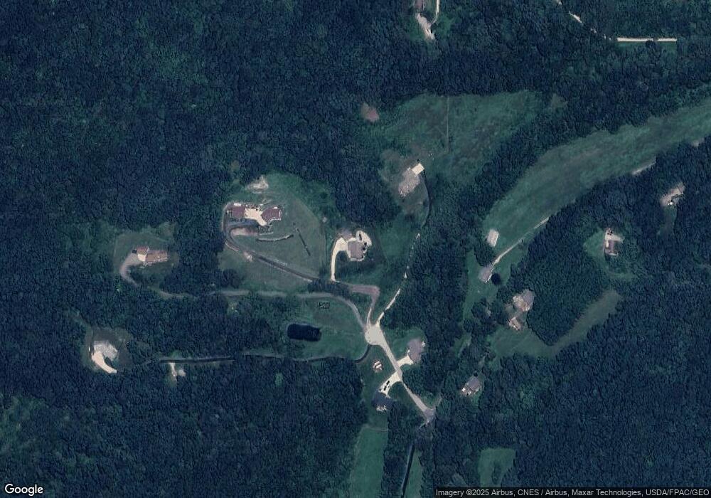
Map
Nearby Homes
- W4051 Twin Creeks Rd
- W5285 County Road F
- N2031 County Road F -
- W4936 Battlestone Station Rd
- N1947 Forest Ridge Dr
- 0000 County Road M
- W4946 Battlestone Station Rd Unit 23
- W4952 Battlestone Station Rd Unit 25
- 00 Smith Valley Rd
- N2015 Stonecrest Rd
- 0 County Road Fa Unit 1932828
- W5419 Pine Bluff Rd
- W5600 Stonehill Rd N
- W5522 Eagle Point Dr
- W5453 Pine Bluff Rd
- 0 Stone Hill Rd N Unit 1937709
- 26 Stone Hill Rd N
- N2194 Valley Rd
- W4844 State Road 33
- N1583 Meadow Ridge Rd
- N2710 Sophia Ln
- N2704 Sophia Ln
- N2713 Sophia Ln
- W4508 Drectrah Rd
- LOT 2 Sophia Ln
- Lot 4 Sophia Ln Unit Lot 4
- N2701 Sophia Ln
- W4551 Drectrah Rd
- W4525 Drectrah Rd
- N2711 Sophia Ln
- W4513 Drectrah Rd
- N2825 Demlow Rd
- W4563 Drectrah Rd
- W4509 Drectrah Rd
- W4475 Drectrah Rd
- W4577 Drectrah Rd
- N2829 Demlow Rd
- W4552 Drectrah Rd
- W4445 Drectrah Rd
- W4448 Drectrah Rd