N2769 Locksley Ln Waupaca, WI 54981
Estimated Value: $646,506 - $1,209,000
--
Bed
--
Bath
--
Sq Ft
0.6
Acres
About This Home
This home is located at N2769 Locksley Ln, Waupaca, WI 54981 and is currently estimated at $927,753. N2769 Locksley Ln is a home with nearby schools including Waupaca Learning Center Elementary School, Waupaca Middle School, and Waupaca High School.
Ownership History
Date
Name
Owned For
Owner Type
Purchase Details
Closed on
Oct 23, 2024
Sold by
Taylor Craig D
Bought by
Taylor Lake House Llc
Current Estimated Value
Purchase Details
Closed on
Feb 18, 2021
Sold by
Taylor Scott and Taylor Irrevocable Trust
Bought by
Taylor Craig D
Purchase Details
Closed on
Jan 16, 2007
Sold by
Taylor Donald E and Taylor Isla Mae
Bought by
Taylor Scott and Taylor Irrevocable Real Estate Tr
Create a Home Valuation Report for This Property
The Home Valuation Report is an in-depth analysis detailing your home's value as well as a comparison with similar homes in the area
Home Values in the Area
Average Home Value in this Area
Purchase History
| Date | Buyer | Sale Price | Title Company |
|---|---|---|---|
| Taylor Lake House Llc | -- | None Listed On Document | |
| Taylor Craig D | $252,000 | None Available | |
| Taylor Scott | -- | None Available |
Source: Public Records
Tax History Compared to Growth
Tax History
| Year | Tax Paid | Tax Assessment Tax Assessment Total Assessment is a certain percentage of the fair market value that is determined by local assessors to be the total taxable value of land and additions on the property. | Land | Improvement |
|---|---|---|---|---|
| 2024 | $7,637 | $541,700 | $445,000 | $96,700 |
| 2023 | $7,637 | $541,700 | $445,000 | $96,700 |
| 2022 | $6,553 | $501,800 | $445,000 | $56,800 |
| 2021 | $6,955 | $395,300 | $354,200 | $41,100 |
| 2020 | $6,888 | $395,300 | $354,200 | $41,100 |
| 2019 | $6,908 | $395,300 | $354,200 | $41,100 |
| 2018 | $7,609 | $395,300 | $354,200 | $41,100 |
| 2017 | $7,487 | $395,300 | $354,200 | $41,100 |
| 2016 | $7,487 | $395,300 | $354,200 | $41,100 |
| 2015 | $7,359 | $395,300 | $354,200 | $41,100 |
| 2014 | $7,290 | $395,300 | $354,200 | $41,100 |
| 2013 | $7,339 | $395,300 | $354,200 | $41,100 |
Source: Public Records
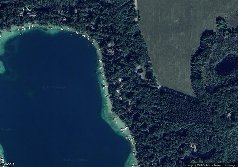
Map
Nearby Homes
- E1280 County Road Q Unit 3
- N2645 Pleasant Park Ln
- E1402 Grandview Rd
- E1396 Grandview Rd
- N2577 Ottman Dr
- N2980 Highland Ln
- E1592 Murray Ln
- E1655 Grandview Rd
- N3032 Hicks Ln
- N2371 Long Cove Dr
- E1747 Pine Ridge Ln
- E1761 Amy St
- N2883 Otter Dr
- 2001 State Rd 54
- 1500 Foxfire Ct
- 1547 Foxfire Ct
- 1579 Foxfire Ct
- E1457 Rural Rd
- 0 State Road 22 Unit 50271805
- 0 State Road 22 Unit 50271804
- N2775 Locksley Ln
- N2781 Locksley Ln
- N2765 Locksley Ln
- N2785 Locksley Ln
- N2793 Locksley Ln
- N2766 Locksley Ln
- N2753 Locksley Ln
- N2786 Locksley Ln
- N2803 Locksley Ln
- N2747 Browne Ln
- N2815 Locksley Ln
- N2731 Browne Ln
- N2719 Brown Ln
- n 2719 Browne Ln
- E1281 Round Lake Dr
- N2719 Browne Ln
- E1273 Round Lake Dr
- N2711 Brown Ln
- E1269 Round Lake Dr
- N2703 Brown Ln