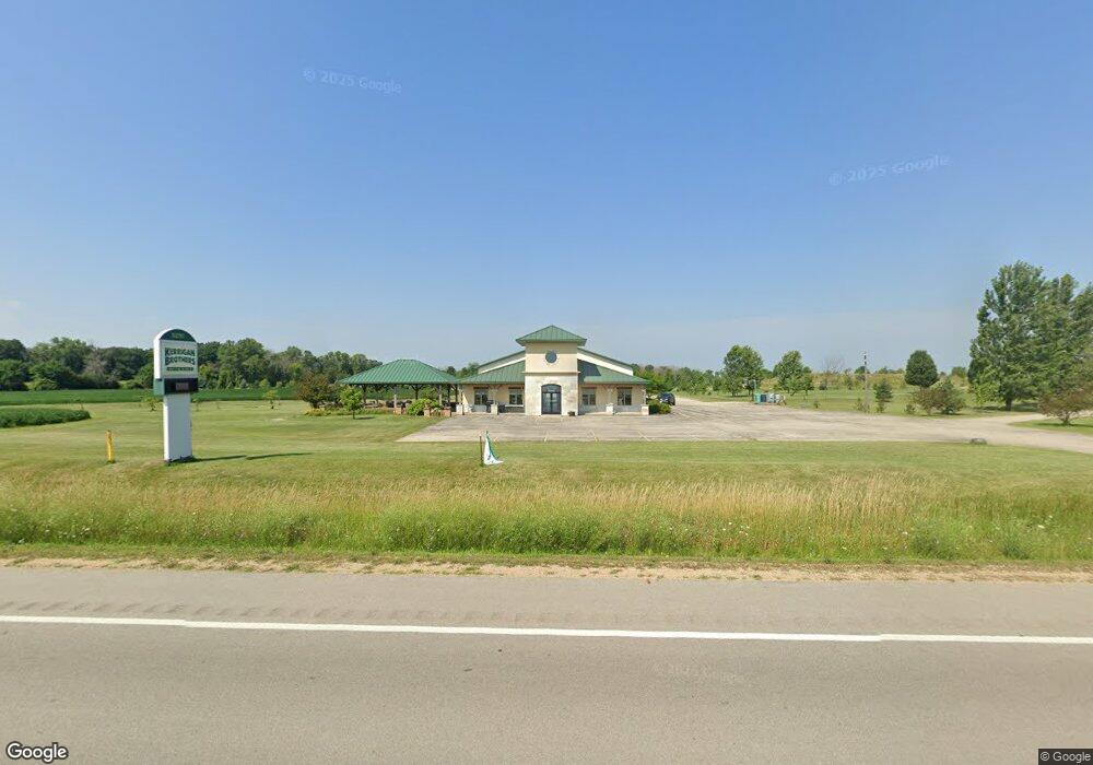
N2797 State Highway 55 Freedom, WI 54130
Estimated Value: $458,000 - $907,773
--
Bed
--
Bath
--
Sq Ft
9.53
Acres
About This Home
This home is located at N2797 State Highway 55, Freedom, WI 54130 and is currently estimated at $671,591. N2797 State Highway 55 is a home with nearby schools including Freedom Elementary School, Park Community Charter School, and Flex Academy.
Ownership History
Date
Name
Owned For
Owner Type
Purchase Details
Closed on
Jul 18, 2025
Sold by
Landwehr Troy R
Current Estimated Value
Purchase Details
Closed on
Feb 28, 2022
Sold by
Landwehr and Karin
Bought by
Schuller Kim and Schuller Matthew
Purchase Details
Closed on
Jan 25, 2017
Sold by
Landwehr Richard K
Bought by
Landwehr Troy R
Purchase Details
Closed on
Nov 8, 2006
Sold by
Ver Voort Allan J
Bought by
Landwehr Richard
Create a Home Valuation Report for This Property
The Home Valuation Report is an in-depth analysis detailing your home's value as well as a comparison with similar homes in the area
Home Values in the Area
Average Home Value in this Area
Purchase History
| Date | Buyer | Sale Price | Title Company |
|---|---|---|---|
| -- | -- | None Listed On Document | |
| Schuller Kim | -- | None Listed On Document | |
| Schuller Kim | -- | None Listed On Document | |
| Landwehr Troy R | $45,000 | -- | |
| Landwehr Richard | $72,000 | -- |
Source: Public Records
Tax History Compared to Growth
Tax History
| Year | Tax Paid | Tax Assessment Tax Assessment Total Assessment is a certain percentage of the fair market value that is determined by local assessors to be the total taxable value of land and additions on the property. | Land | Improvement |
|---|---|---|---|---|
| 2024 | $10,614 | $552,100 | $53,000 | $499,100 |
| 2023 | $9,027 | $552,200 | $53,100 | $499,100 |
| 2022 | $8,483 | $552,000 | $52,900 | $499,100 |
| 2021 | $7,163 | $475,300 | $53,000 | $422,300 |
| 2020 | $5,122 | $333,200 | $40,500 | $292,700 |
| 2019 | $4,839 | $333,200 | $40,500 | $292,700 |
| 2018 | $4,920 | $333,200 | $40,500 | $292,700 |
| 2017 | $5,040 | $316,100 | $31,600 | $284,500 |
| 2016 | $5,284 | $316,100 | $31,600 | $284,500 |
| 2015 | $5,308 | $310,100 | $31,600 | $278,500 |
| 2014 | $5,281 | $310,100 | $31,600 | $278,500 |
| 2013 | $5,428 | $310,100 | $31,600 | $278,500 |
Source: Public Records
Map
Nearby Homes
- N2747 Weyers Rd
- 0 Oak Creek Ct
- N2382 Maloney Rd
- N2426 Maloney Rd
- N2130 County Rd N
- N3626 Rose Garden Way
- N3616 Gavin Dr
- N3507 County Rd E
- W2318 Schmidt Rd
- 501 Hammen Ct
- W3053 Mathison Rd
- 304 Maple Dr
- W3077 Mathison Rd
- 1013 Harvest Trail
- N3923 Wettering Way
- 0 Sequoia Dr Unit 50265854
- 5767 N Sequoia Dr
- N3914 Deere Dr
- 0 Olivia Dr Unit 50313994
- N3938 Deere Dr
- N2801 State Highway 55
- W2137 Greiner Rd
- N2698 State Highway 55
- N2690 State Highway 55
- N2682 State Highway 55
- N2682 Hwy 55
- N2660 State Highway 55
- W2184 Greiner Rd
- N2634 State Highway 55
- W1991 Greiner Rd
- W2257 Greiner Rd
- W2074 Lau Rd
- W2054 Lau Rd
- W2038 Lau Rd
- W2111 Lau Rd
- W2190 Lau Rd
- W2299 Greiner Rd
- W2123 Lau Rd
- W2131 Lau Rd
- W2298 Greiner Rd