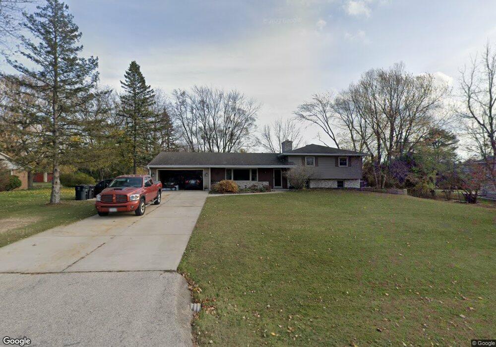
N28W26510 Lauderdale Dr Pewaukee, WI 53072
Estimated Value: $446,000 - $628,000
--
Bed
--
Bath
--
Sq Ft
0.61
Acres
About This Home
This home is located at N28W26510 Lauderdale Dr, Pewaukee, WI 53072 and is currently estimated at $504,103. N28W26510 Lauderdale Dr is a home located in Waukesha County with nearby schools including Pewaukee Lake Elementary School, Asa Clark Middle School, and Pewaukee High School.
Ownership History
Date
Name
Owned For
Owner Type
Purchase Details
Closed on
Jun 4, 2003
Sold by
Barber Platt A
Bought by
Barber Platt A and Barber Pamela J
Current Estimated Value
Home Financials for this Owner
Home Financials are based on the most recent Mortgage that was taken out on this home.
Original Mortgage
$189,000
Interest Rate
5.71%
Mortgage Type
Purchase Money Mortgage
Create a Home Valuation Report for This Property
The Home Valuation Report is an in-depth analysis detailing your home's value as well as a comparison with similar homes in the area
Home Values in the Area
Average Home Value in this Area
Purchase History
| Date | Buyer | Sale Price | Title Company |
|---|---|---|---|
| Barber Platt A | -- | Reliance Title Services Llc |
Source: Public Records
Mortgage History
| Date | Status | Borrower | Loan Amount |
|---|---|---|---|
| Closed | Barber Platt A | $189,000 |
Source: Public Records
Tax History Compared to Growth
Tax History
| Year | Tax Paid | Tax Assessment Tax Assessment Total Assessment is a certain percentage of the fair market value that is determined by local assessors to be the total taxable value of land and additions on the property. | Land | Improvement |
|---|---|---|---|---|
| 2024 | $4,227 | $327,600 | $134,400 | $193,200 |
| 2023 | $4,229 | $327,600 | $134,400 | $193,200 |
| 2022 | $4,334 | $327,600 | $134,400 | $193,200 |
| 2021 | $4,314 | $327,600 | $134,400 | $193,200 |
| 2020 | $3,555 | $236,000 | $106,000 | $130,000 |
| 2019 | $3,571 | $236,000 | $106,000 | $130,000 |
| 2018 | $3,450 | $236,000 | $106,000 | $130,000 |
| 2017 | $3,319 | $236,000 | $106,000 | $130,000 |
| 2016 | $3,301 | $236,000 | $106,000 | $130,000 |
| 2015 | $3,351 | $236,000 | $106,000 | $130,000 |
| 2014 | $3,657 | $236,000 | $106,000 | $130,000 |
| 2013 | $3,657 | $236,000 | $106,000 | $130,000 |
Source: Public Records
Map
Nearby Homes
- W265N2666 Meadowbrook Rd
- N26W26388 Quail Hollow Rd Unit A
- W269N2762 Lelah Ave
- N28W26972 Woodland Dr
- W263N2345 Deer Haven Dr
- W271N2631 Orchard Ln
- N27W27152 Woodland Dr
- N19W26672 Milkweed Ln Unit A
- N28W27558 Peninsula Dr
- N28W25158 Parkway Ridge Cir Unit B
- N28W27564 Peninsula Dr
- Ashford Plan at Woodleaf Reserve
- Weston Plan at Woodleaf Reserve
- Bayfield Plan at Woodleaf Reserve
- Geneva Plan at Woodleaf Reserve
- Danbury Plan at Woodleaf Reserve
- Waterford Plan at Woodleaf Reserve
- Carlisle Plan at Woodleaf Reserve
- Norwood Plan at Woodleaf Reserve
- Summerhill Plan at Woodleaf Reserve
- N28W26598 Lauderdale Dr
- N27W26609 Lauderdale Dr
- W265N2785 Prospect Ave Unit 3
- N28W26611 Lauderdale Dr
- N28W26595 Lauderdale Dr
- N28W26575 Lauderdale Dr
- N27W26611 Lauderdale Dr
- W265N2795 Prospect Ave
- N28W26587 Miami Dr
- N27W26680 Lauderdale Dr
- W265N2781 Prospect Ave
- W265N2783 Prospect Ave
- N28W26667 Miami Dr
- W264N2813 Prospect Ave
- N28W26637 Miami Dr
- N28W26525 Lauderdale Dr
- N27W26643 Lauderdale Dr
- N27W26666 Lauderdale Dr
- N28W26675 Miami Dr
- N28W26578 Miami Dr