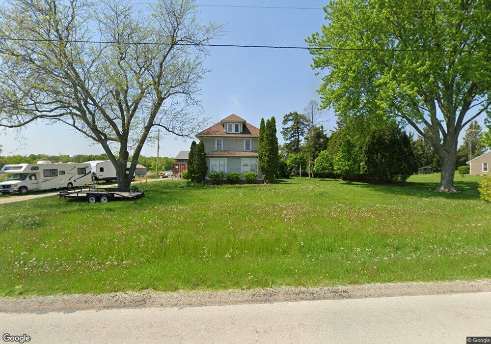
N2920 Savage Rd Waupun, WI 53963
Estimated Value: $251,348 - $305,000
4
Beds
2
Baths
1,750
Sq Ft
$160/Sq Ft
Est. Value
About This Home
This home is located at N2920 Savage Rd, Waupun, WI 53963 and is currently estimated at $279,337, approximately $159 per square foot. N2920 Savage Rd is a home located in Fond du Lac County with nearby schools including Meadow View Primary School, Rock River Intermediate School, and Waupun Area Junior High School.
Ownership History
Date
Name
Owned For
Owner Type
Purchase Details
Closed on
Jul 29, 2009
Sold by
Vanburen James
Bought by
Moffitt David A and Moffitt Jennifer M A
Current Estimated Value
Home Financials for this Owner
Home Financials are based on the most recent Mortgage that was taken out on this home.
Original Mortgage
$108,000
Outstanding Balance
$70,632
Interest Rate
5.27%
Mortgage Type
New Conventional
Estimated Equity
$208,705
Purchase Details
Closed on
May 1, 2006
Sold by
Hp Properties Ii Llc
Bought by
Vanburen James Van
Home Financials for this Owner
Home Financials are based on the most recent Mortgage that was taken out on this home.
Original Mortgage
$125,000
Interest Rate
6.62%
Mortgage Type
New Conventional
Create a Home Valuation Report for This Property
The Home Valuation Report is an in-depth analysis detailing your home's value as well as a comparison with similar homes in the area
Home Values in the Area
Average Home Value in this Area
Purchase History
| Date | Buyer | Sale Price | Title Company |
|---|---|---|---|
| Moffitt David A | $120,000 | -- | |
| Vanburen James Van | $145,000 | None Available |
Source: Public Records
Mortgage History
| Date | Status | Borrower | Loan Amount |
|---|---|---|---|
| Open | Moffitt David A | $108,000 | |
| Previous Owner | Vanburen James Van | $125,000 |
Source: Public Records
Tax History Compared to Growth
Tax History
| Year | Tax Paid | Tax Assessment Tax Assessment Total Assessment is a certain percentage of the fair market value that is determined by local assessors to be the total taxable value of land and additions on the property. | Land | Improvement |
|---|---|---|---|---|
| 2024 | $2,266 | $217,600 | $41,800 | $175,800 |
| 2023 | $1,945 | $121,000 | $24,900 | $96,100 |
| 2022 | $1,854 | $121,000 | $24,900 | $96,100 |
| 2021 | $1,792 | $121,000 | $24,900 | $96,100 |
| 2020 | $1,830 | $121,000 | $24,900 | $96,100 |
| 2019 | $1,838 | $121,000 | $24,900 | $96,100 |
| 2018 | $1,849 | $121,000 | $24,900 | $96,100 |
| 2017 | $1,844 | $121,000 | $24,900 | $96,100 |
| 2016 | $1,888 | $114,300 | $24,300 | $90,000 |
| 2015 | $2,003 | $114,300 | $24,300 | $90,000 |
| 2014 | -- | $114,300 | $24,300 | $90,000 |
| 2013 | $2,111 | $114,300 | $24,300 | $90,000 |
Source: Public Records
Map
Nearby Homes
- 736 Fern St
- 231 Woodland Dr
- 181 Harmsen Ave
- 25 Taylor St
- 524 W Jefferson St
- 1004 Rock Ave
- 709 W Jefferson St
- 306 Rounsville St
- 10 S Forest St
- 231 Hillyer St
- 315 E Main St
- 307 Elm Ave
- 227 S State St
- 258 S Drummond St
- 201 S Madison St
- 609 E Franklin St
- 18 Pluim Dr Unit 16
- 22 Pluim Dr Unit 22
- 429 S Drummond St
- 17.92 Ac Pattee Dr
- 2920 Savage Rd
- N2900 County Road Mmm
- N2936 Savage Rd
- N2654 Savage Rd
- N2950 Savage Rd
- N2937 Savage Rd
- N2954 Savage Rd
- N2953 Savage Rd
- N2965 Savage Rd
- N2972 Savage Rd
- N2959 Savage Rd
- N2975 Savage Rd
- N2979 Savage Rd
- N2990 Savage Rd
- N2865 Savage Rd
- N2989 Savage Rd
- N2851 Savage Rd
- N2997 Savage Rd
- N3004 Savage Rd
- N3009 Savage Rd