N3027 Line Dr Waupaca, WI 54981
Estimated Value: $338,000 - $468,000
3
Beds
--
Bath
2,027
Sq Ft
$201/Sq Ft
Est. Value
About This Home
This home is located at N3027 Line Dr, Waupaca, WI 54981 and is currently estimated at $408,129, approximately $201 per square foot. N3027 Line Dr is a home located in Waupaca County with nearby schools including Waupaca Learning Center Elementary School, Waupaca Middle School, and Waupaca High School.
Ownership History
Date
Name
Owned For
Owner Type
Purchase Details
Closed on
Jan 28, 2008
Sold by
Smith Larry G and Smith Annetta L
Bought by
Wisconsin Department Of Transportation and The Farmers State Bank Of Waupaca
Current Estimated Value
Purchase Details
Closed on
Jun 7, 2006
Sold by
Smith Larry G and Smith Annetta L
Bought by
The Farmers State Bank
Create a Home Valuation Report for This Property
The Home Valuation Report is an in-depth analysis detailing your home's value as well as a comparison with similar homes in the area
Home Values in the Area
Average Home Value in this Area
Purchase History
| Date | Buyer | Sale Price | Title Company |
|---|---|---|---|
| Wisconsin Department Of Transportation | $10,150 | None Available | |
| The Farmers State Bank | -- | None Available |
Source: Public Records
Tax History Compared to Growth
Tax History
| Year | Tax Paid | Tax Assessment Tax Assessment Total Assessment is a certain percentage of the fair market value that is determined by local assessors to be the total taxable value of land and additions on the property. | Land | Improvement |
|---|---|---|---|---|
| 2024 | $4,266 | $403,500 | $76,500 | $327,000 |
| 2023 | $4,266 | $236,600 | $40,100 | $196,500 |
| 2022 | $3,807 | $236,600 | $40,100 | $196,500 |
| 2021 | $3,847 | $236,600 | $40,100 | $196,500 |
| 2020 | $3,818 | $236,600 | $40,100 | $196,500 |
| 2019 | $3,886 | $236,600 | $40,100 | $196,500 |
| 2018 | $4,365 | $236,600 | $40,100 | $196,500 |
| 2017 | $4,424 | $236,600 | $40,100 | $196,500 |
| 2016 | $4,285 | $236,600 | $40,100 | $196,500 |
| 2015 | $4,501 | $236,600 | $40,100 | $196,500 |
| 2014 | $4,517 | $236,600 | $40,100 | $196,500 |
| 2013 | $4,518 | $236,600 | $40,100 | $196,500 |
Source: Public Records
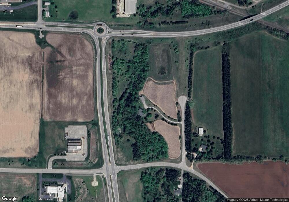
Map
Nearby Homes
- 1927 Huffcutt Ln
- 1926 Huffcutt Ln
- 1545 Webster Way
- 0 State Road 22-54 Unit 50291195
- 0 State Road 22-54 Unit 50291197
- 0 Commercial Dr Unit 50291246
- 0 Commercial Dr Unit 50312972
- 0 Commercial Dr Unit 50291198
- 0 Commercial Dr Unit 50312984
- 0 Handrich Rd
- 2333 Runway Dr
- 2016 Farm Dr
- 0 Runway Dr Unit 50291193
- 0 Runway Dr Unit 50256086
- 0 Runway Dr Unit 50179248
- 0 Constance Rd Unit 20803051
- 0 Constance Rd Unit 50285836
- 0 Constance Rd Unit 20803050
- 0 State Highway 22 54
- 0 N Hill Rd Unit 20803046
- E3878 Harrington Rd
- E3879 Harrington Rd
- E3879 Harrington Rd
- E3919 Harrington Rd
- 1990 Godfrey Dr
- 2001 Royalton St
- 0 Godfrey Dr
- 0 Axtell Ln
- E3966 Axtell Ln
- E3371 State Road 22 54
- 1987 Spindt Dr
- 1961 Spindt Dr
- 1970 Spindt Dr
- 1970 Spindt Dr Unit 5
- 1970 Spindt Dr Unit 4
- 2255 2255 Lensmire Ln
- 2255 Lensmire Ln
- 2275 2275 Lensmire Ln
- 2265 2265 Lensmire Ln
- 2285 2285 Lensmire Ln