N306 Thorp Rd Monroe, WI 53566
Estimated Value: $489,000 - $598,000
--
Bed
2
Baths
--
Sq Ft
40.75
Acres
About This Home
This home is located at N306 Thorp Rd, Monroe, WI 53566 and is currently estimated at $526,429. N306 Thorp Rd is a home located in Green County.
Ownership History
Date
Name
Owned For
Owner Type
Purchase Details
Closed on
Mar 1, 2019
Sold by
Shane David and Shane Elisa
Bought by
Delene M Tessmann Living Trust
Current Estimated Value
Home Financials for this Owner
Home Financials are based on the most recent Mortgage that was taken out on this home.
Original Mortgage
$262,000
Outstanding Balance
$230,343
Interest Rate
4.4%
Mortgage Type
New Conventional
Estimated Equity
$296,086
Create a Home Valuation Report for This Property
The Home Valuation Report is an in-depth analysis detailing your home's value as well as a comparison with similar homes in the area
Home Values in the Area
Average Home Value in this Area
Purchase History
| Date | Buyer | Sale Price | Title Company |
|---|---|---|---|
| Delene M Tessmann Living Trust | $327,500 | None Available |
Source: Public Records
Mortgage History
| Date | Status | Borrower | Loan Amount |
|---|---|---|---|
| Open | Delene M Tessmann Living Trust | $262,000 |
Source: Public Records
Tax History Compared to Growth
Tax History
| Year | Tax Paid | Tax Assessment Tax Assessment Total Assessment is a certain percentage of the fair market value that is determined by local assessors to be the total taxable value of land and additions on the property. | Land | Improvement |
|---|---|---|---|---|
| 2024 | $3,428 | $213,300 | $84,900 | $128,400 |
| 2023 | $3,521 | $213,000 | $84,600 | $128,400 |
| 2022 | $3,445 | $213,000 | $84,600 | $128,400 |
| 2021 | $3,083 | $213,400 | $85,000 | $128,400 |
| 2020 | $3,016 | $213,600 | $85,200 | $128,400 |
| 2019 | $2,989 | $213,400 | $85,000 | $128,400 |
| 2018 | $2,974 | $213,300 | $84,900 | $128,400 |
| 2017 | $2,960 | $180,400 | $62,600 | $117,800 |
| 2016 | $3,050 | $180,400 | $62,600 | $117,800 |
| 2014 | $2,918 | $143,600 | $25,800 | $117,800 |
Source: Public Records
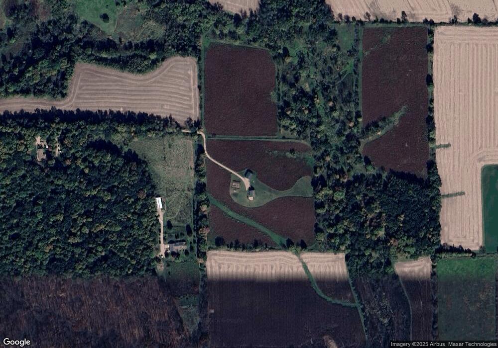
Map
Nearby Homes
- 312 Hillside Ct
- 433 Bostian Ct
- 3 Highview Dr
- 217 Hancock Dr
- 106 W High St
- 202 S Main St
- TBD Illinois Route 26
- 12934 N Damascus Rd
- 12150 N Damascus Rd
- N2068 Alphorn Rd
- N2097 Alphorn Rd
- N2097 Alphorn Rd Unit 1
- Lot 1 Alphorn Rd
- Lot 35 Briar Ln
- Lot 37 Briar Ln
- Lot 33 Briar Ln
- lot 32 Briar Ln
- Lot 11 Tall Grass Ln
- lot 31 Briar Ln
- lot 30 Briar Ln
- N306 Thorp Rd
- N296 Thorp Rd
- N298 Thorp Rd
- N369 Dinges Rd
- N290 Thorp Rd
- N381 Dinges Rd
- N385 Dinges Rd
- N391 Dinges Rd
- N244 State Road 69
- N415 Dinges Rd
- N375 Hwy 69
- N287 Clarno Rd
- N240 Clarno Rd
- N482 Dinges Rd
- W6069 County Road P
- 2395 W State Line Rd
- 14.59 Ac County Road P
- 14.59 Acre County Rd P
- 14.59A County Road P
- N475 Clarno Rd