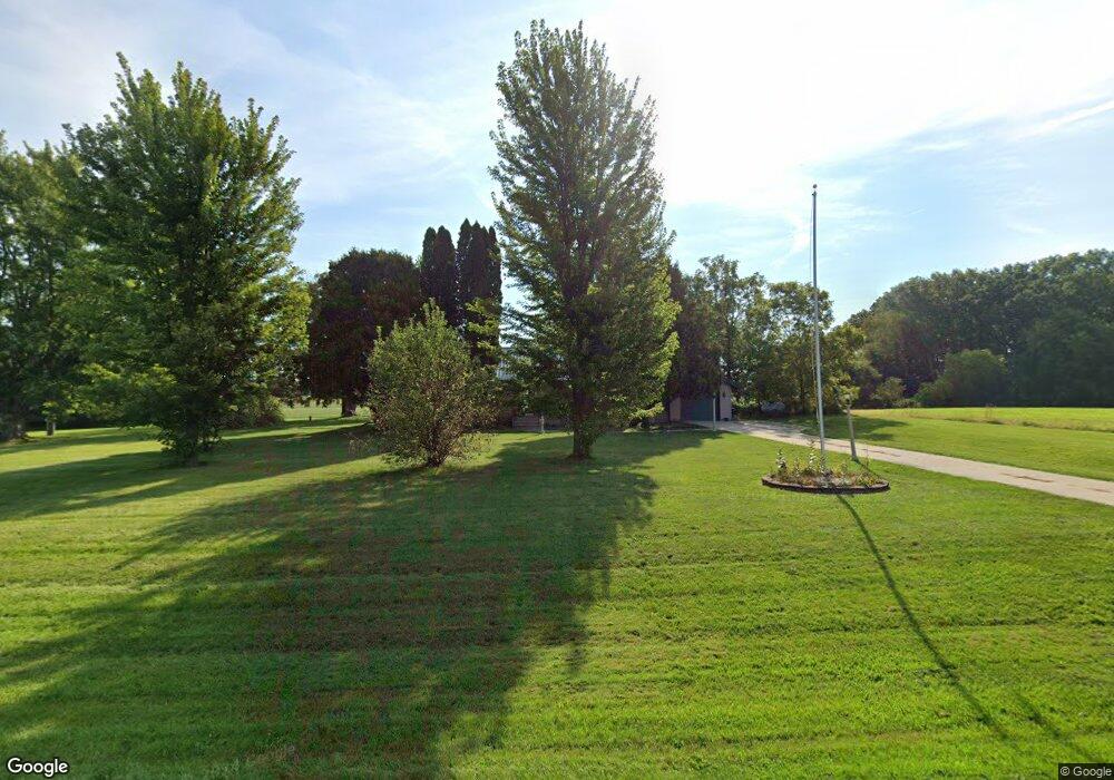
N3080 Level Valley Rd Watertown, WI 53098
Estimated Value: $341,000 - $373,854
--
Bed
--
Bath
--
Sq Ft
0.38
Acres
About This Home
This home is located at N3080 Level Valley Rd, Watertown, WI 53098 and is currently estimated at $357,427. N3080 Level Valley Rd is a home located in Dodge County with nearby schools including John Hustis Elementary School and Hustisford High School.
Ownership History
Date
Name
Owned For
Owner Type
Purchase Details
Closed on
Jun 25, 2025
Sold by
Bestul Sharon
Bought by
Burgess Thomas
Current Estimated Value
Purchase Details
Closed on
Nov 26, 2024
Sold by
Burgess David J and Bestul Sharon
Bought by
Bestul Sharon
Purchase Details
Closed on
Sep 26, 2024
Sold by
Burgess David J
Bought by
Bestul Sharon
Create a Home Valuation Report for This Property
The Home Valuation Report is an in-depth analysis detailing your home's value as well as a comparison with similar homes in the area
Home Values in the Area
Average Home Value in this Area
Purchase History
| Date | Buyer | Sale Price | Title Company |
|---|---|---|---|
| Burgess Thomas | -- | None Listed On Document | |
| Bestul Sharon | -- | None Listed On Document | |
| Bestul Sharon | -- | None Listed On Document |
Source: Public Records
Tax History Compared to Growth
Tax History
| Year | Tax Paid | Tax Assessment Tax Assessment Total Assessment is a certain percentage of the fair market value that is determined by local assessors to be the total taxable value of land and additions on the property. | Land | Improvement |
|---|---|---|---|---|
| 2024 | $3,161 | $191,600 | $58,200 | $133,400 |
| 2023 | $3,096 | $191,600 | $58,200 | $133,400 |
| 2022 | $3,292 | $191,700 | $58,300 | $133,400 |
| 2021 | $2,850 | $191,600 | $58,200 | $133,400 |
| 2020 | $3,077 | $191,700 | $58,300 | $133,400 |
| 2019 | $3,051 | $191,700 | $58,300 | $133,400 |
| 2018 | $2,918 | $180,300 | $58,200 | $122,100 |
| 2017 | $2,975 | $180,300 | $58,200 | $122,100 |
| 2016 | $3,035 | $180,300 | $58,200 | $122,100 |
| 2015 | $3,018 | $180,300 | $58,200 | $122,100 |
Source: Public Records
Map
Nearby Homes
- 441 Sandy Ln
- 252 S Hustis St
- 244 S Ridge St
- .68 Acre Parcel Anthony Island
- 727 E Lakeview Rd Unit 8
- 827 E Lakeview Rd
- W4436 E Lakeview Rd
- N4557 Lakeview Rd
- N4510 & N4504 Anthony Island
- N4554 Lakeview Rd
- N4510 Anthony Island -
- 000 Lt0 Sleepy Hollow Rd
- N4569 Hazelwood Rd
- Lot 2 Sleepy Hollow
- N4550 County Road Dj
- N3220 Hale Rd
- W2824 Fox Rd
- 506 Center St
- N4973 Lake Dr
- N5025 Arrowhead Ct
- 0 Hwy R Unit 50243776
- N2917 Level Valley Rd
- W4410 E Hillcrest Rd
- Lt1 E Hillcrest Rd Unit CSM 6640
- N2911 County Road Dj Unit R
- W4687 W Hillcrest Rd
- W4774 Oak Hill Rd
- Lt1 W Hillcrest Rd
- Lot W Hillcrest Rd
- N3000 County Road Dj Unit R
- W4761 W Hillcrest Rd
- N3392 Level Valley Rd
- L1 County Road Dj
- N3233 County Rd E
- N3317 County Rd E