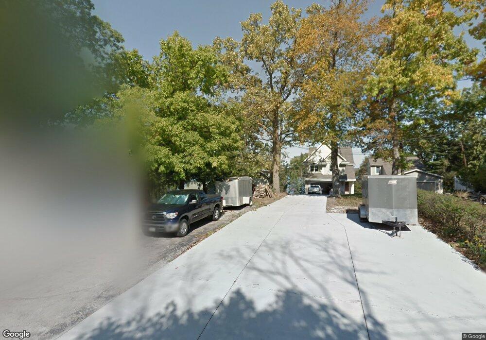
N30W26550 Peterson Dr Pewaukee, WI 53072
Estimated Value: $965,150 - $1,486,000
--
Bed
--
Bath
--
Sq Ft
0.29
Acres
About This Home
This home is located at N30W26550 Peterson Dr, Pewaukee, WI 53072 and is currently estimated at $1,199,717. N30W26550 Peterson Dr is a home located in Waukesha County with nearby schools including Pewaukee Lake Elementary School, Asa Clark Middle School, and Pewaukee High School.
Ownership History
Date
Name
Owned For
Owner Type
Purchase Details
Closed on
Feb 28, 2014
Sold by
Konkol Jeffrey
Bought by
Konkol Jeffrey
Current Estimated Value
Purchase Details
Closed on
May 31, 2013
Sold by
Konkol Jerome J
Bought by
Jerome Konkol Revocable Trust
Create a Home Valuation Report for This Property
The Home Valuation Report is an in-depth analysis detailing your home's value as well as a comparison with similar homes in the area
Home Values in the Area
Average Home Value in this Area
Purchase History
| Date | Buyer | Sale Price | Title Company |
|---|---|---|---|
| Konkol Jeffrey | -- | None Available | |
| Jerome Konkol Revocable Trust | -- | None Available |
Source: Public Records
Mortgage History
| Date | Status | Borrower | Loan Amount |
|---|---|---|---|
| Closed | Konkol Jeffrey | $35,000 | |
| Closed | Konkol Jeffrey | $45,000 |
Source: Public Records
Tax History Compared to Growth
Tax History
| Year | Tax Paid | Tax Assessment Tax Assessment Total Assessment is a certain percentage of the fair market value that is determined by local assessors to be the total taxable value of land and additions on the property. | Land | Improvement |
|---|---|---|---|---|
| 2024 | $7,839 | $672,700 | $525,000 | $147,700 |
| 2023 | $7,817 | $672,700 | $525,000 | $147,700 |
| 2022 | $8,109 | $672,700 | $525,000 | $147,700 |
| 2021 | $8,080 | $672,700 | $525,000 | $147,700 |
| 2020 | $7,317 | $491,800 | $354,300 | $137,500 |
| 2019 | $7,135 | $491,800 | $354,300 | $137,500 |
| 2018 | $6,871 | $491,800 | $354,300 | $137,500 |
| 2017 | $6,972 | $491,800 | $354,300 | $137,500 |
| 2016 | $7,094 | $491,800 | $354,300 | $137,500 |
| 2015 | $7,179 | $491,800 | $354,300 | $137,500 |
| 2014 | $7,842 | $491,800 | $354,300 | $137,500 |
| 2013 | $7,842 | $491,800 | $354,300 | $137,500 |
Source: Public Records
Map
Nearby Homes
- N26W26388 Quail Hollow Rd Unit A
- W265N2666 Meadowbrook Rd
- N28W26972 Woodland Dr
- W269N2762 Lelah Ave
- N28W25158 Parkway Ridge Cir Unit B
- N27W27152 Woodland Dr
- N37W26687 Kopmeier Dr
- 616 Kopmeier Dr
- W271N2631 Orchard Ln
- Ashford Plan at Woodleaf Reserve
- Weston Plan at Woodleaf Reserve
- Bayfield Plan at Woodleaf Reserve
- Geneva Plan at Woodleaf Reserve
- Danbury Plan at Woodleaf Reserve
- Waterford Plan at Woodleaf Reserve
- Carlisle Plan at Woodleaf Reserve
- Norwood Plan at Woodleaf Reserve
- Summerhill Plan at Woodleaf Reserve
- Ellington Plan at Woodleaf Reserve
- Windsor Plan at Woodleaf Reserve
- N30W26546 Peterson Dr
- N30W26560 Peterson Dr
- N30W26538 Peterson Dr
- N30W26568 Peterson Dr
- N30W26576 Peterson Dr
- N30W26528 Peterson Dr
- N30W26582 Peterson Dr
- N30W26516 Peterson Dr
- W265N3011 Peterson Dr
- N30W26545 Peterson Dr
- N30W26596 Peterson Dr
- N29W26604 Peterson Dr
- W265N2999 Peterson Dr
- N29W26610 Peterson Dr
- N30W26506 Peterson Dr
- N30W26488 Peterson Dr
- N29W26555 Peterson Dr
- N29W26618 Peterson Dr
- W265N2989 Peterson Dr
- N29W26628 Peterson Dr