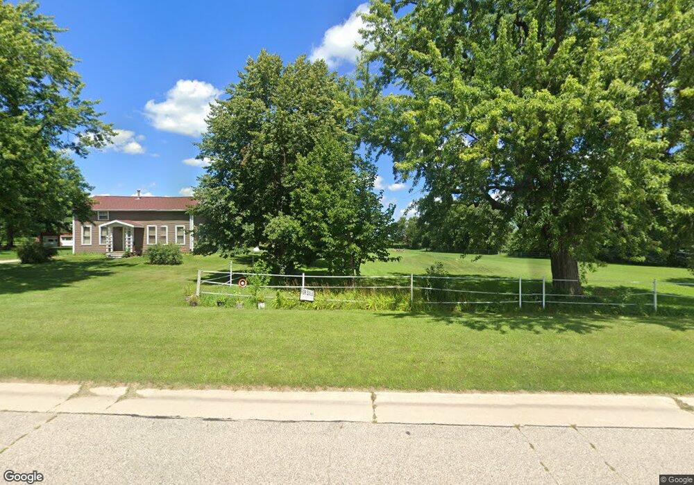
N3104 Us Highway 12 Unit N311 Fort Atkinson, WI 53538
Estimated Value: $348,000 - $652,000
3
Beds
2
Baths
1,992
Sq Ft
$239/Sq Ft
Est. Value
About This Home
This home is located at N3104 Us Highway 12 Unit N311, Fort Atkinson, WI 53538 and is currently estimated at $475,484, approximately $238 per square foot. N3104 Us Highway 12 Unit N311 is a home located in Jefferson County with nearby schools including Rockwell Elementary School, Fort Atkinson Middle School, and Fort Atkinson High School.
Ownership History
Date
Name
Owned For
Owner Type
Purchase Details
Closed on
Aug 21, 2020
Sold by
Mundt Thorwald Trust
Bought by
D & H Indoor Storage & Rentals Llc
Current Estimated Value
Home Financials for this Owner
Home Financials are based on the most recent Mortgage that was taken out on this home.
Original Mortgage
$281,350
Outstanding Balance
$249,577
Interest Rate
3%
Mortgage Type
New Conventional
Estimated Equity
$225,907
Create a Home Valuation Report for This Property
The Home Valuation Report is an in-depth analysis detailing your home's value as well as a comparison with similar homes in the area
Home Values in the Area
Average Home Value in this Area
Purchase History
| Date | Buyer | Sale Price | Title Company |
|---|---|---|---|
| D & H Indoor Storage & Rentals Llc | $331,000 | None Available |
Source: Public Records
Mortgage History
| Date | Status | Borrower | Loan Amount |
|---|---|---|---|
| Open | D & H Indoor Storage & Rentals Llc | $281,350 |
Source: Public Records
Tax History Compared to Growth
Tax History
| Year | Tax Paid | Tax Assessment Tax Assessment Total Assessment is a certain percentage of the fair market value that is determined by local assessors to be the total taxable value of land and additions on the property. | Land | Improvement |
|---|---|---|---|---|
| 2024 | $4,651 | $334,100 | $128,700 | $205,400 |
| 2023 | $3,661 | $182,600 | $79,800 | $102,800 |
| 2022 | $3,861 | $182,600 | $79,800 | $102,800 |
| 2021 | $3,539 | $182,600 | $79,800 | $102,800 |
| 2020 | $3,285 | $182,600 | $79,800 | $102,800 |
| 2019 | $3,523 | $175,500 | $68,300 | $107,200 |
| 2018 | $3,254 | $175,500 | $68,300 | $107,200 |
| 2017 | $3,256 | $175,500 | $68,300 | $107,200 |
| 2016 | $3,172 | $155,800 | $59,300 | $96,500 |
| 2015 | $3,065 | $155,800 | $59,300 | $96,500 |
| 2014 | $2,872 | $155,800 | $59,300 | $96,500 |
| 2013 | $3,083 | $155,800 | $59,300 | $96,500 |
Source: Public Records
Map
Nearby Homes
- N3530 County Road G
- 1612 Commonwealth Dr Unit 3
- 1709 Montclair Place
- 1526 Radhika St
- 1406 Commonwealth Dr
- Lt40 Montclair Place
- 1325 Commonwealth Dr
- 1112 Menomonee Ct
- 845 Messmer St
- 609 Cloute St
- 916 Madison Ave
- 1232 Sherman Ave W
- 1233 Sherman Ave W
- 1222 Sherman Ave W Unit P
- 605 Nelson St
- 1220 Sherman Ave W
- 131 W Blackhawk Dr
- 619 Robert St
- 715 Madison Ave
- 505 Robert St
- N3104-N311 Hwy 12
- N3114 U S 12
- n 3115 Us Highway 12
- N3115 Hwy 12
- N3121 Hwy 12
- N3121 U S 12
- N3085 Radloff Ln
- 6.28 Radloff Lane Highway 12
- 6.28 Radloff Lane Hwy 12
- N3059 Us Highway 12
- N3020 Hwy 12
- N3102 Radloff Ln
- N3237 County Road G
- W7044 County Road C
- W7110 County Road C
- N3346 Radloff Ln
- W7142 County Road C
- N2874 Monarch Ln
- W7063 County Road C
- w 7063 County Road C