N3148 Paap Rd Weyauwega, WI 54983
Estimated Value: $98,583 - $180,000
--
Bed
--
Bath
--
Sq Ft
5.17
Acres
About This Home
This home is located at N3148 Paap Rd, Weyauwega, WI 54983 and is currently estimated at $139,292. N3148 Paap Rd is a home with nearby schools including Weyauwega Elementary School, Weyauwega Middle School, and Weyauwega High School.
Ownership History
Date
Name
Owned For
Owner Type
Purchase Details
Closed on
Jul 7, 2017
Sold by
Star Communications Llc
Bought by
Knaus Michael J and Knaus Gerard F
Current Estimated Value
Home Financials for this Owner
Home Financials are based on the most recent Mortgage that was taken out on this home.
Original Mortgage
$50,000
Outstanding Balance
$10,697
Interest Rate
3.94%
Mortgage Type
Future Advance Clause Open End Mortgage
Estimated Equity
$128,595
Purchase Details
Closed on
Nov 30, 2015
Sold by
Smith Matthew R
Bought by
Star Communications Llc
Purchase Details
Closed on
Feb 20, 2014
Sold by
Pfunett Llc
Bought by
Smith Matthew R and Smith Joellen M
Create a Home Valuation Report for This Property
The Home Valuation Report is an in-depth analysis detailing your home's value as well as a comparison with similar homes in the area
Home Values in the Area
Average Home Value in this Area
Purchase History
| Date | Buyer | Sale Price | Title Company |
|---|---|---|---|
| Knaus Michael J | $65,000 | None Available | |
| Star Communications Llc | $27,000 | -- | |
| Smith Matthew R | $24,000 | None Available |
Source: Public Records
Mortgage History
| Date | Status | Borrower | Loan Amount |
|---|---|---|---|
| Open | Knaus Michael J | $50,000 |
Source: Public Records
Tax History Compared to Growth
Tax History
| Year | Tax Paid | Tax Assessment Tax Assessment Total Assessment is a certain percentage of the fair market value that is determined by local assessors to be the total taxable value of land and additions on the property. | Land | Improvement |
|---|---|---|---|---|
| 2024 | $595 | $40,600 | $8,500 | $32,100 |
| 2023 | $595 | $30,300 | $5,300 | $25,000 |
| 2022 | $547 | $30,100 | $5,100 | $25,000 |
| 2021 | $534 | $29,900 | $4,900 | $25,000 |
| 2020 | $518 | $29,900 | $4,900 | $25,000 |
| 2019 | $495 | $29,900 | $4,900 | $25,000 |
| 2018 | $540 | $29,900 | $4,900 | $25,000 |
| 2017 | $17 | $29,900 | $4,900 | $25,000 |
| 2016 | $17 | $1,100 | $1,100 | $0 |
| 2015 | $16 | $1,100 | $1,100 | $0 |
| 2014 | $16 | $1,000 | $1,000 | $0 |
| 2013 | $19 | $1,100 | $1,100 | $0 |
Source: Public Records
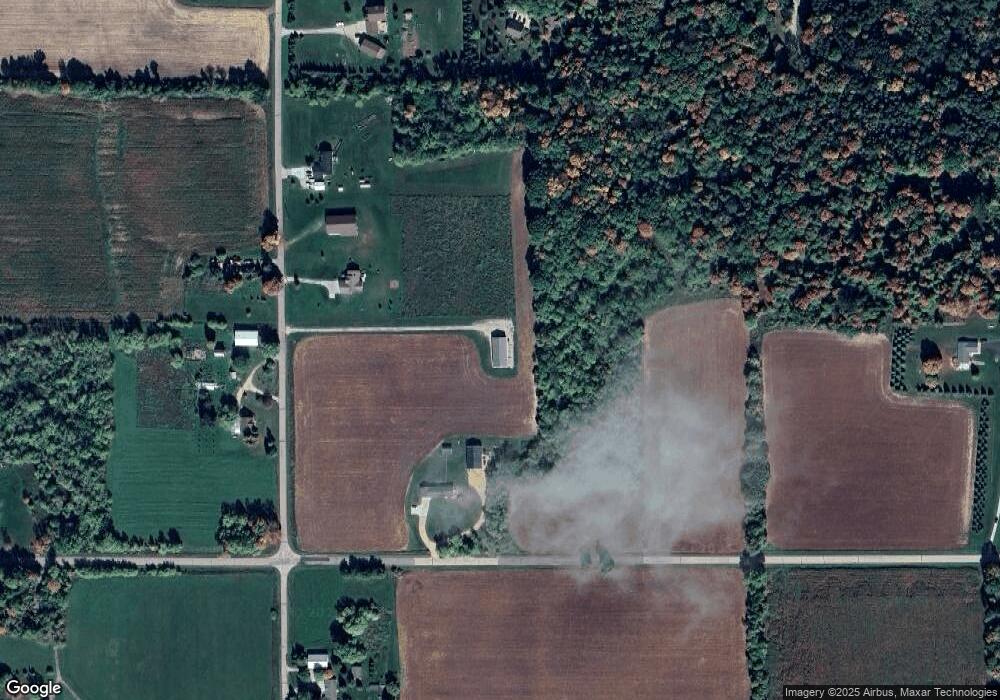
Map
Nearby Homes
- E5698 Waukaunaka St
- 5599 County Road Aa
- 1019 Mill Pond Cir
- 1009 Mill Pond Cir
- 201 2nd Ave
- 0 State Highway 22 54
- 103 W Main St
- 0 Handrich Rd
- 0 Wisconsin 49
- E4347 E Gate Dr
- 0 Hillside Dr Unit 50308768
- 0 Hillside Dr Unit 50311949
- 0 Guth Rd Unit 50315739
- 0 Commercial Dr Unit 50291246
- 0 Commercial Dr Unit 50312972
- 0 Commercial Dr Unit 50291198
- 0 Commercial Dr Unit 50312984
- 0 Runway Dr Unit 50291193
- 0 Runway Dr Unit 50256086
- 0 Runway Dr Unit 50179248
- E5332 White Lake Rd
- N3158 Paap Rd
- N3133 Paap Rd
- N3161 Paap Rd
- N3188 Paap Rd
- N3074 Paap Rd
- N3240 Paap Rd
- N3214 Paap Rd
- E5248 White Lake Rd
- 0 Paap Rd Unit 50079852
- 0 Paap Rd Unit 50026904
- 0 Paap Rd Unit 50026903
- 0 Paap Rd Unit 50079853
- 0 Paap Rd Unit 50130215
- N3283 State Road 110
- E5275 White Lake Rd
- N3252 Paap Rd
- E5450 White Lake Rd
- N3279 State Road 110
- N3273 State Road 110